A Tale of Two CIties
As I sit here, I grapple with finding the words to capture the essence of this State Park. I want to remain positive, despite these arduous times where negativity often feels easier. So much like the opening lines of Dickens’ masterful narrative, A Tale of Two Cities, one could say that my experience embodies a paradoxical duality: “It was the best of times, it was the worst of times.” With that profound prelude, let’s embark on this journey and explore City of Rocks State Park.
A little about the park from their website
The park encompasses a one-square-mile area in the scenic Chihuahuan desert region of southwestern New Mexico at an elevation of 5,200 feet. The “city” is a geologic formation made up of large, sculptured rock columns, or pinnacles, rising as high as 40 feet and separated by paths or lanes resembling city streets and a city skyline. These rocks were formed about 34.9 million years ago when a very large volcano erupted. Then, erosion over millions of years slowly formed the sculptured columns seen today, creating a stunning, otherworldly landscape.
Located about halfway between Silver City and Deming, City of Rocks offers over 50 campsites, hiking trails, excellent mountain biking, wildlife viewing, birding, stargazing, picnic areas, and a desert botanical garden. The uniquely designed, new Visitor Center includes a large display area and modern restrooms with hot showers. The park charges a Day Use Fee of $5 per vehicle.


Pictures: Entrance with Visitor Center in the Background | Mural at the Visitor Center
Getting there and the Visitor Center
The night before my visit I stayed in Las Cruces, New Mexico, the second largest city in New Mexico. I remember Las Cruces fondly from childhood as we took a day trip to nearby White Sands National Park while visiting friends in El Paso, Texas. To get to the park from Las Cruces, you need to head west on Interstate-10 to Deming, which takes about 1 hour and 30 minutes and you’ll also pass through a US Customs and Border Patrol (CBP) checkpoint. Bet you didn’t know their jurisdiction spans 100 miles into the interior of the United States from any land or maritime border. Considering two-thirds of the U.S. population falls within this zone, you may want to read about their authority and your rights. Anyway, from Deming, it’s still a long drive to the park entrance and then a bit more to the visitor center.
I chatted with this really nice volunteer at the visitor center who gave me the lowdown on the park. She asked if I wanted to watch a 10-minute video about the park, and even though I wasn’t thrilled about it, I said yes because I could tell it was important to her. When I sat down to watch it, I felt like I had been thrown back in time – there were just a few chairs around a small TV and DVD player – something reminiscent of grade school.

Why New Mexico?
While not exactly the Bastille, my visit to what felt like the Start Park Prison had me questioning if I had unwittingly stumbled into a rocks-and-boulders-themed incarceration. Imagine exploring the rocks or “the city,” only to discover that the campsites are cleverly hidden within the very rocks you’re trying to admire and to unknowingly gatecrash someone’s camping turf – talk about awkward rock encounters. Luckily, there were only a few campers during my visit. Now, if the park was bursting at the seams with campers, navigating the rocky metropolis would be a bizarre dance of dodging tents and campers – not my idea of a fun park visit. And consider the reverse: camping amidst the rocks, only to have enthusiastic rock enthusiasts meandering through your campsite – a perplexing scenario, indeed.
I just don’t understand why the State decided to do this? Why not keep the campsites in the serene outskirts, letting people camp in peace and explore the “city” without inadvertently intruding on someone’s tent/camper territory? After all, the “city” is THE focal point and reason to visit this park, you’re not coming here to stroll around campsites.


Pictures: Some of the campsites you’ll encounter


Pictures: More campsites you’ll encounter
Let’s get out of the city
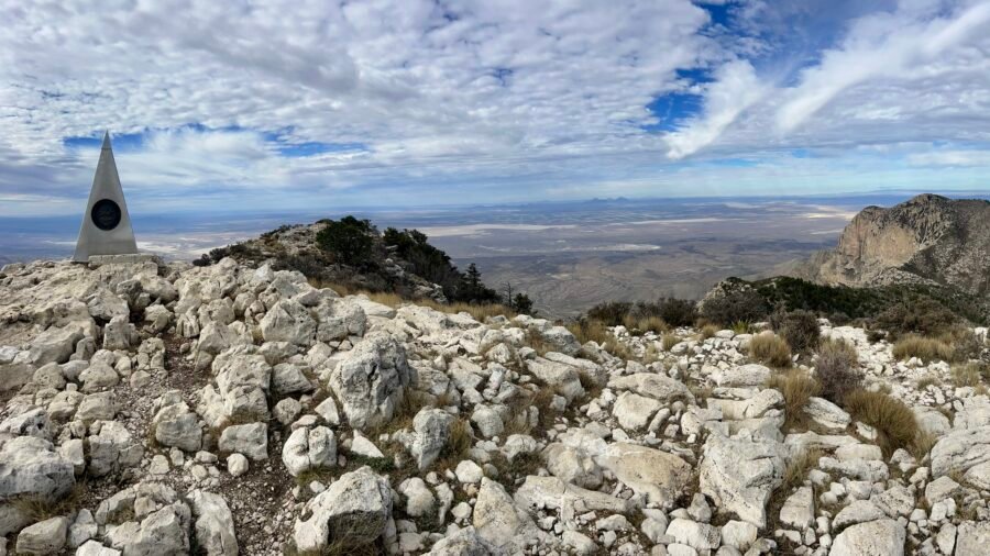
Shortly into my walk through the rocks, I decided I needed a change of pace and decided to head towards the back of the “city” to the Hydra and Table Mountain Trailheads. My legs were feeling a bit like Jell-O from my hike the day before – Guadalupe Peak – so I wasn’t sure how far I would hike, let alone go up to Table Mountain. It’s 1.87 miles up to Table Mountain, with the last 1/4 mile having the largest elevation change. The trails are well marked and also dual-use – both for hiking and mountain bikes – so keep an eye out for bikers. I found it ironic that these trails were marked better than Guadalupe Peak, but much harder to get lost here. As you hike along the trails, you’ll see some cool desert floral and fauna, as well as some wildlife – holes in the ground.


Pictures: Some of the boulders on the “outskirts” of the city | Hydra Trail Directional Sign


Pictures: Hydra and Table Mountain Trailheads | Another campsite near the Trailheads


Pictures: Soaptree Yucca | A critter hole


Pictures: Another Hydra Trail Marker | Where Table Mountain Trail and Hydra Trail split | In both pictures Table Mountain is in the background

Worth the Hike!
As you start to ascend from the desert floor, the impressive scale of the “city” becomes apparent. The trail leading up to the summit is a gradual incline, with a few resting spots along the way to catch your breath and admire the views. There are also some sections of the trail that may make you wonder how mountain bikers navigate through them. The ascent to the summit has an elevation change of 695 feet and treats you to breathtaking views of the Chihuahuan Desert and the City of Rocks – definitely one of the highlights of my trip. Once at the top, I took a quick break before running back down the trail, which was a fun experience, despite my legs feeling like Jell-O and not having my knee braces on.


Pictures: View as you begin to rise above the desert floor | The trail


Pictures: One of the resting areas | The last push up to the summit


Pictures: Summit Selfie | Looking down (It’s much higher than it looks in the picture)


Picture: Another spot to rest | The desert below

The Desert Botanical Garden
Exploring the Desert Botanical Garden proved fascinating; it offered insights into the local fauna, and the opportunity to wander among rocks without maneuvering through campsites. They’ve got a couple of picnic tables too, so I grabbed my lunch there. It was a good spot, even though it was right by the dirt road. And it was peaceful until some yahoo in a pickup truck decided to blast up the road, kicking up sand and dirt in my direction. Seriously Dude?!


Pictures: The Botanical Garden | Info about the Chihuahuan Desert


Pictures: Barrel Cactus | Cholla Cactus


Pictures: Parry’s Agave | Cow’s Tongue Cactus


Pictures: Sotol | Engelmann’s Prickly Pear


Pictures: Rocks near the Botanical Garden, sans campsites


Pictures: More rocks near the Botanical Garden, sans campsites


Pictures: Picnic Area | Cool, almost petrified, trunk of the tree near the picnic tables
Let’s Tour the City – complete with City Folk!
After lunch, I headed down the trail right across from picnic tables, and into the heart of the “city.” The trail is about 1.4 miles out and back, but you’ll probably end up hiking more as the trail isn’t well marked and you just end up meandering through the rocks. It’s amazing to think as you walk around these massive boulders that they have spewed from a volcano millions of years ago. As I wandered around, I felt like I was in a city – complete with kid’s screaming and yelling at each other as they ran through the boulders and climbed on them. Ah, city folk.


Pictures: Trailhead | Part of the trail through the “City”


Pictures: Meandering through the “City”


Pictures: Some of the more interesting Rocks

Stars and Planets
The first state park astronomical observatory, equipped with a 14’’ Mead Telescope powered by solar energy, is located in the City of Rocks State Park, New Mexico. It offers a unique opportunity to observe planets, stars, and constellations. Together with the National Public Observatory, the park organizes a monthly Star Party, featuring programs that typically extend over a 2-hour duration. Informative signs about various planets are placed in the vicinity of the observatory. Interestingly, it was near the Observatory that I encountered wildlife, spotting a beautiful rabbit among the distinctive boulders.


Pictures: The Observatory | Planetary Informational Sign – this one is for Pluto
In Summary
City of Rocks State Park stands as a fascinating testament to the wonders crafted by Mother Nature while showcasing desert flora and fauna. But I would deem this a People’s Park and honestly, if I weren’t looking for a place to camp, I wouldn’t go out of my way to visit the park. Perhaps a convenient stopover on a trip to the Gila National Forest or if you happen to be exploring nearby Hatch, New Mexico, renowned for its famous Hatch Chile. While not claiming expertise, I can’t help but feel that a more thoughtfully designed park could enhance the overall experience. Perhaps it has something to do with the fact that State Parks fall under the jurisdiction of the Energy, Minerals and Natural Resources Department?
Date of Visit: 18 November 2023