Mount Rogers sits within the Mount Rogers National Recreation Area and rises to 5,729 feet above sea level, ranking #19 among U.S. state high points. It also marked my 11th summit on this high-pointing journey.
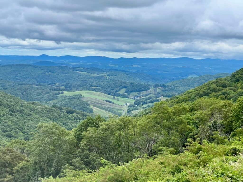
The Mount Rogers National Recreation Area is expansive, with four designated wilderness areas, more than 400 miles of trails, eleven campgrounds, and scenic drives like the Mount Rogers Scenic Byway and the road to Whitetop Mountain. It’s also home to 60 miles of the Appalachian Trail and 18 miles of the Virginia Creeper Trail. This corner of southwest Virginia is truly one of my favorite parts of the country.
If you have the chance, spend some time in Abingdon, a charming town just off I-81, west of Mount Rogers and the starting point of the Virginia Creeper Trail.
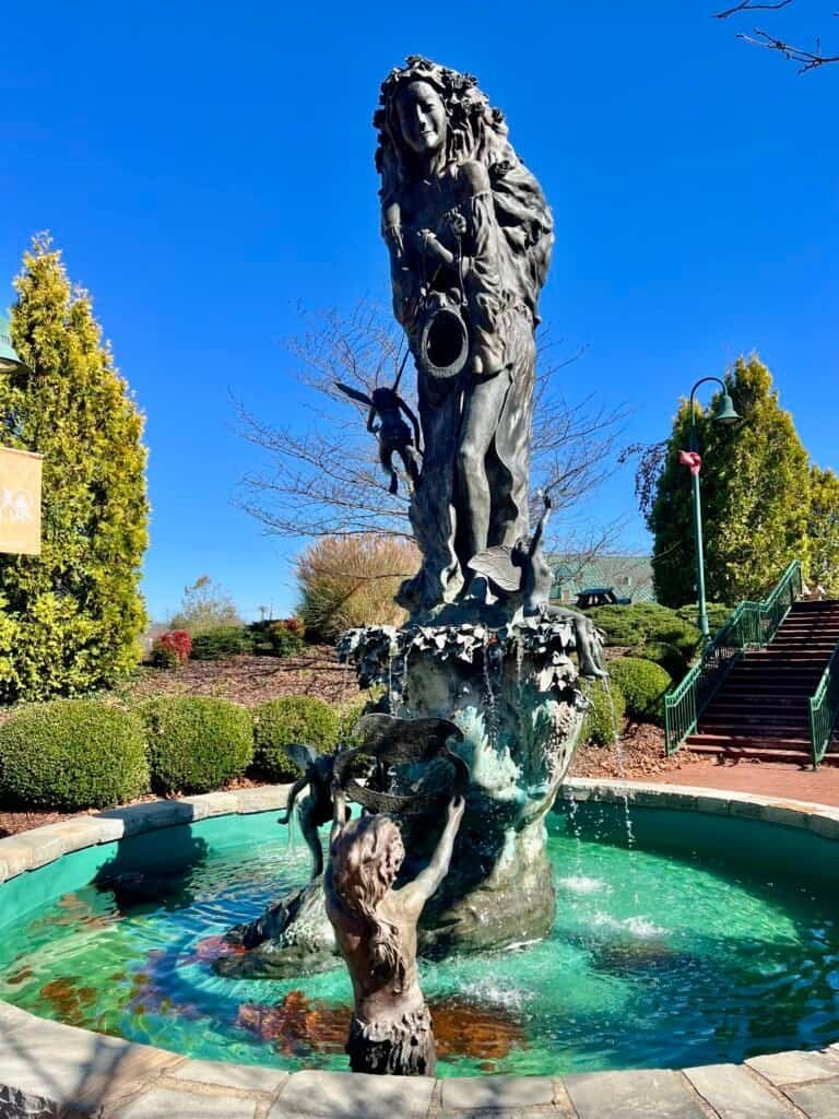
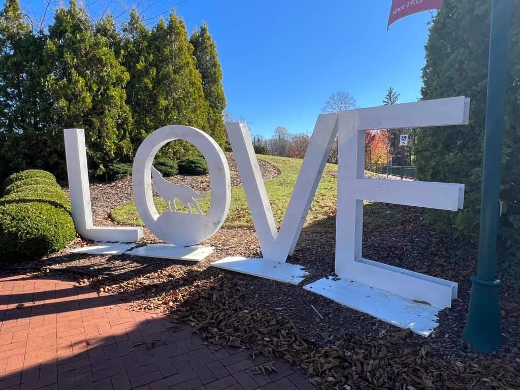
Photos: “A Midsummer Night’s Dream” Fountain | LOVE Sign – both in Abingdon, VA
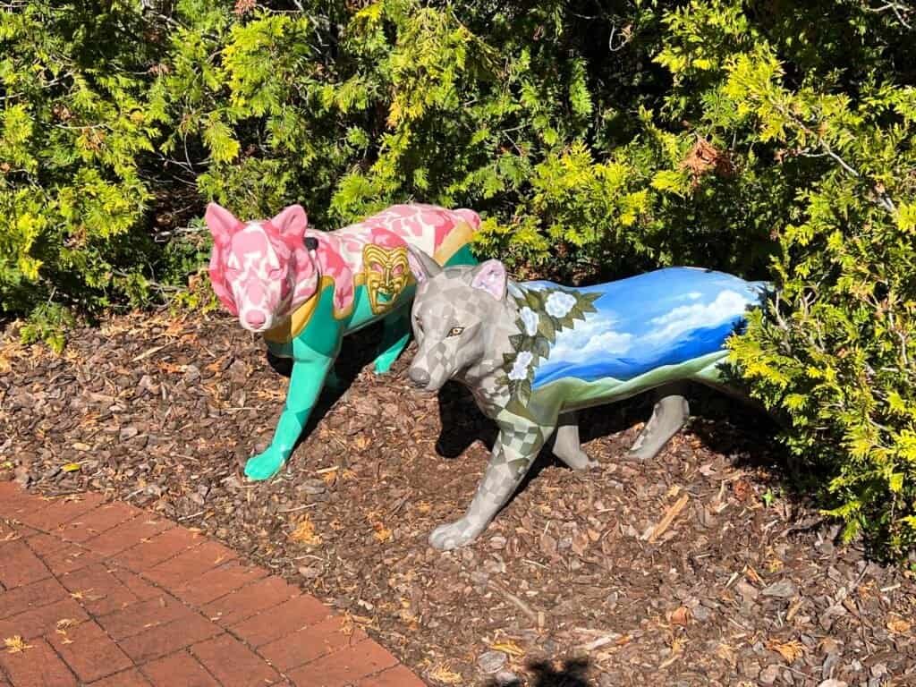
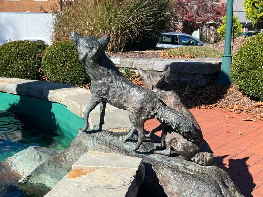
Photos: Wolves in Abingdon, VA
Starting Out in Grayson Highlands
I began my hike in Grayson Highlands State Park, eventually hiking up into Jefferson National Forest and the Mount Rogers National Recreation Area. There is a parking fee—$7 on weekdays and $10 on weekends from April through October. The park is extremely popular thanks to its wild ponies, which was obvious even on a wet, dreary day, judging by the number of families with young kids searching the fields.
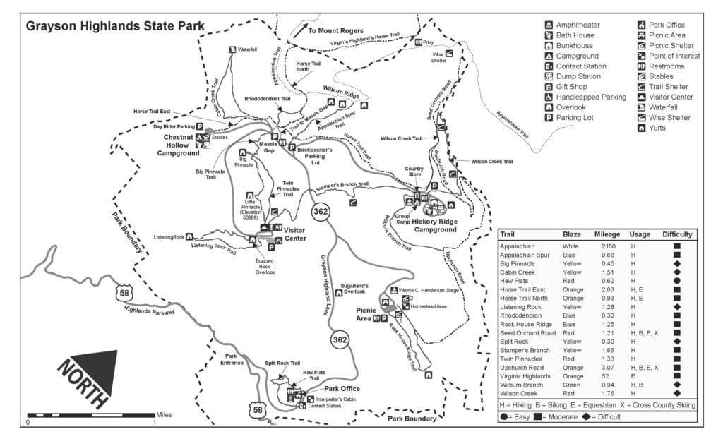
Photo: Map of Grayson Highlands State Park
The weather wasn’t great, but in hindsight it was a blessing. Light rain turned into a steady drizzle, and only near the end of the hike did blue skies finally appear. When I arrived at Massie Gap around 9:00 a.m., there were only a few cars in the lot. By the time I finished, nearly every spot was taken.
No ponies in sight—yet.
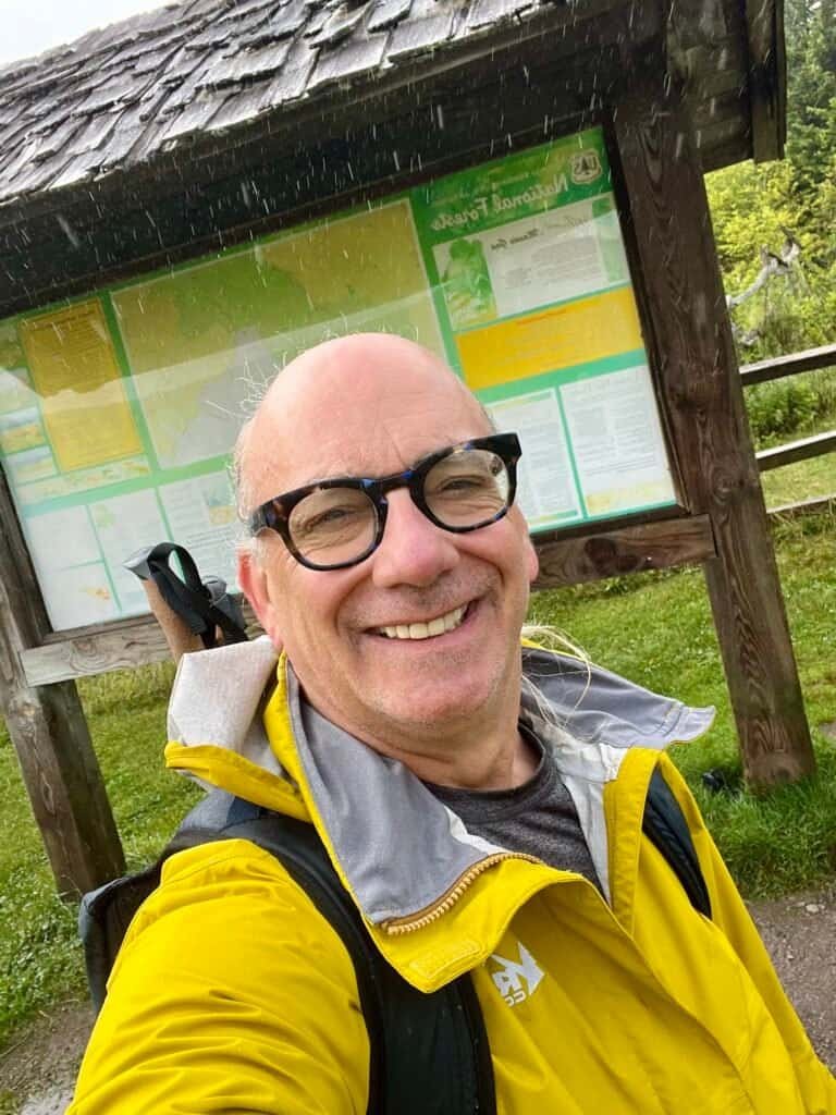
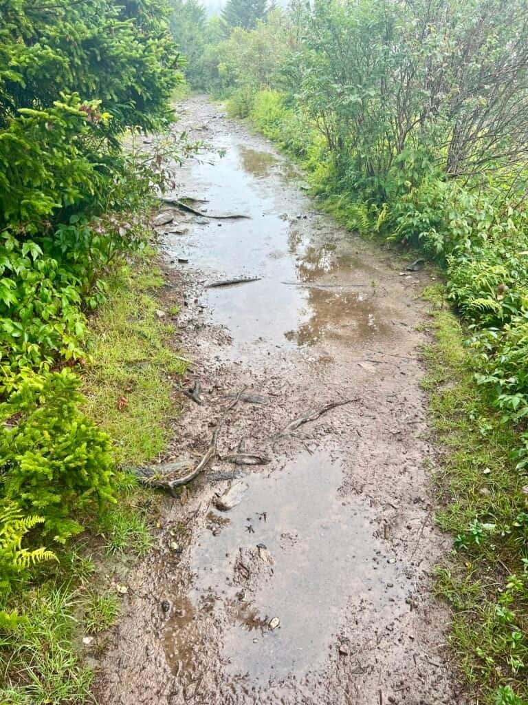
Picture: All dressed for a wet and muddy hike | Wet and muddy trail
Up the Mountain
So off I went, dressed for the elements. The plan for the day was an 8.4-mile loop with 1,555 feet of elevation gain, using several different trails. I started on the Rhododendron Trail, passing through the horse gate and climbing steadily uphill. After an initial elevation gain, the trail eased into a gradual climb before connecting with the Appalachian Trail.
Eventually, I passed through another gate and entered Jefferson National Forest. Despite clear signs that ponies were nearby, I didn’t see any. Given the weather, I assumed they were tucked away somewhere drier—probably in their own little pony houses.

Photos: Ponies have definitely been here!
Wilburn Ridge and Slick Rock
Next came the Wilburn Ridge Trail, one of the more challenging parts of the hike, especially in wet conditions. Several rock scrambles required patience and careful footing. The rocks were slick, the drops were real, and the key was simply slowing down and staying focused.
The trail was well marked with blue blazes painted directly on the rocks, and there were some fun, hands-on sections where you had to climb your way upward. I later learned that had I stayed on the Appalachian Trail instead, I would have passed through a narrow rock passage—something to save for another visit.
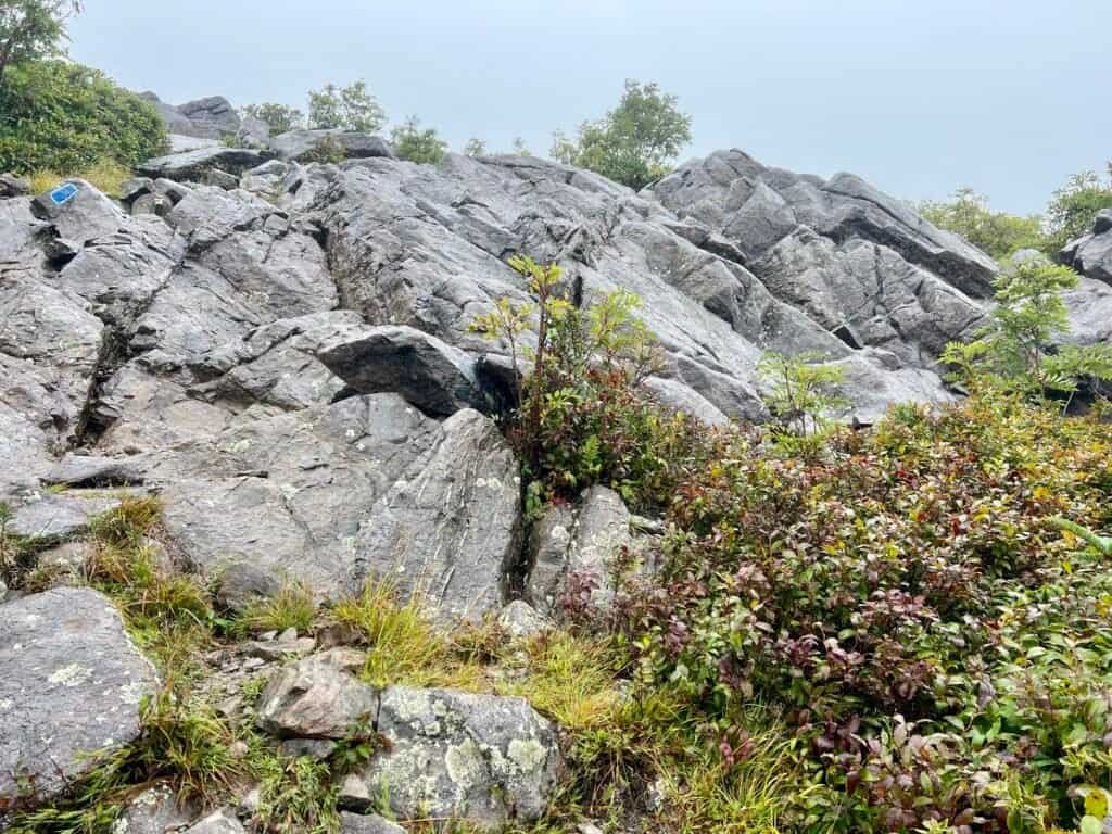
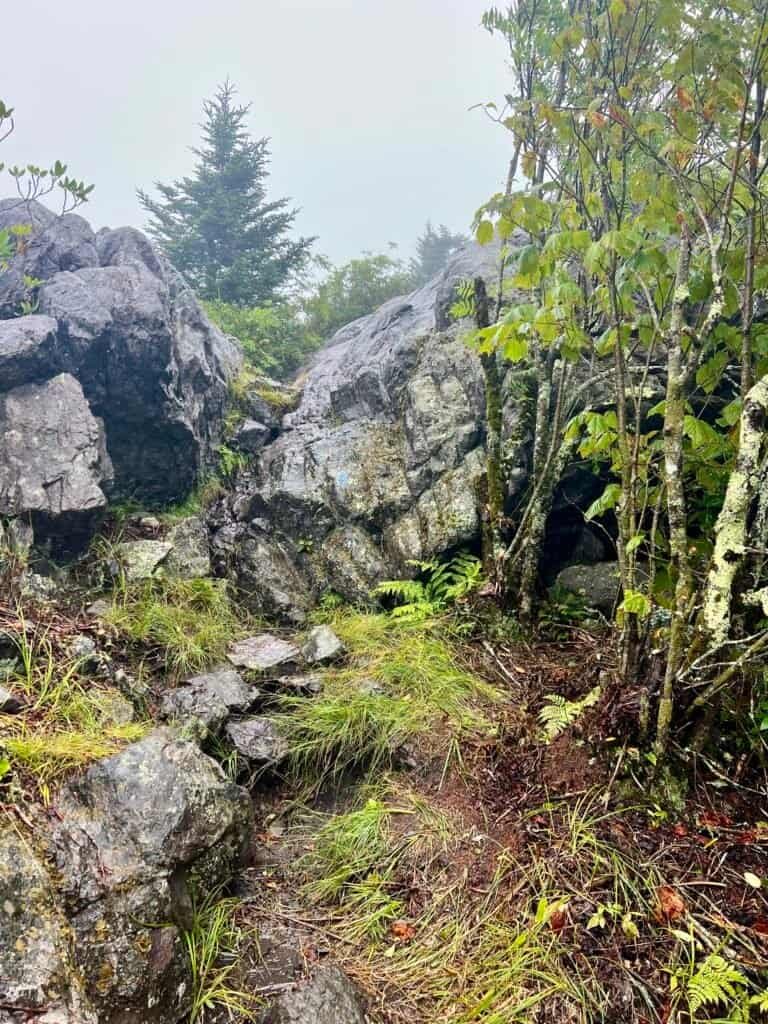
Photos: Boulder scramble with blue trail markings | Narrow rock passage
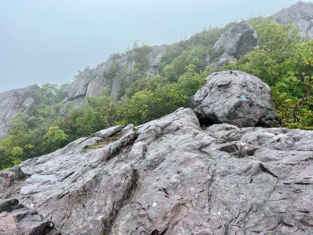
Photo: Wet rock scramble with blue trail blaze on Wilburn Ridge Trail
Still no ponies… but hope remained.
The Summit (Sort Of)
After Wilburn Ridge, I rejoined the Appalachian Trail and began a gradual climb toward the summit. This section passed through the Lewis Fork Wilderness and eventually led to the Thomas Knob Shelter, a popular overnight stop for Appalachian Trail hikers. I ran into a family I’d met earlier in the parking lot. They had stopped for lunch and mentioned seeing ponies near the first bear box past Pine Mountain.
That was all the motivation I needed.
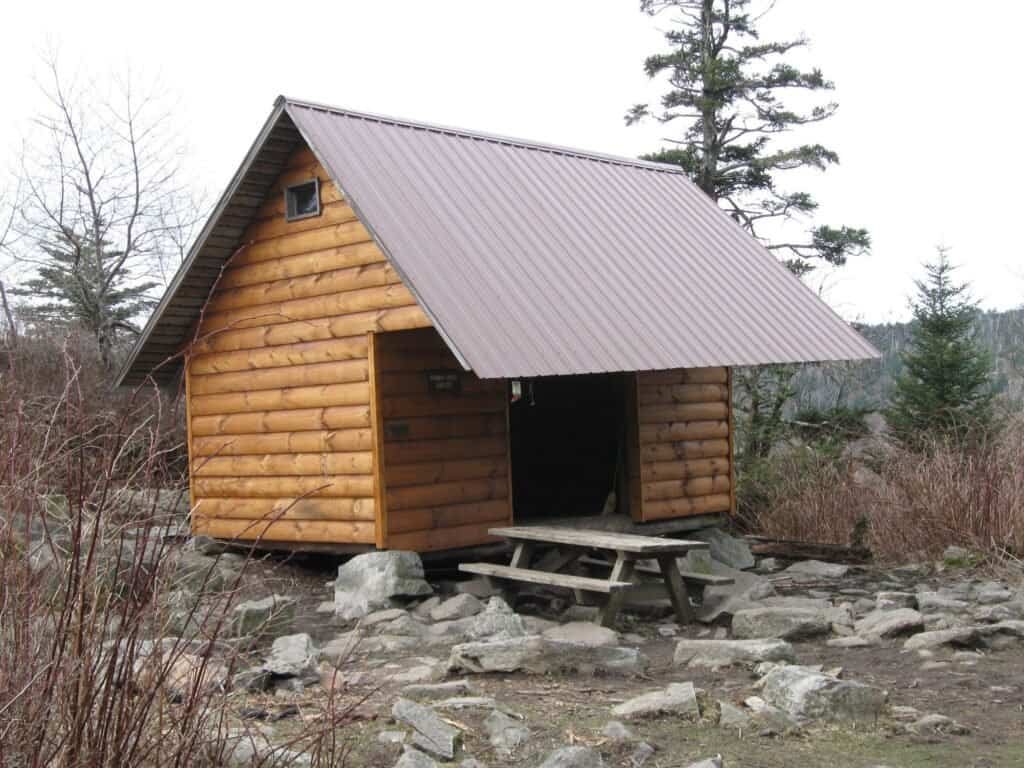
Photo: Thomas Knob Shelter
From there, I followed the Mount Rogers Spur Trail. The summit was close. The trail wound through a beautiful pine forest, and with one final push, I arrived… to no views at all. Just dense woods.
Oh well.
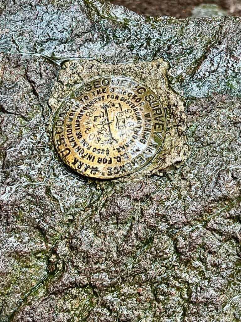
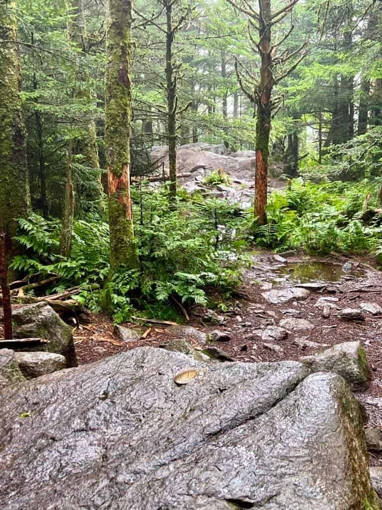
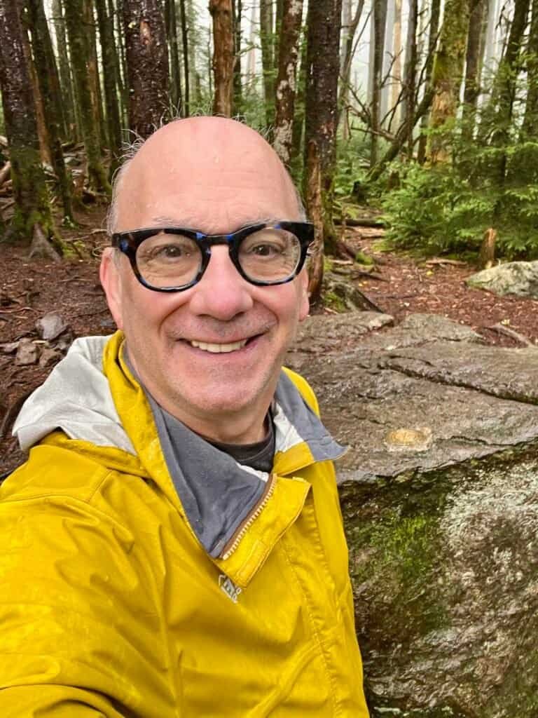
Photos: Entering the summit area | Summit area with survey marker on the rock | Summit Selfie
It took a few minutes of wandering to locate the actual survey marker—something I clearly need to plan better for in future hikes. After a few photos (and a summit selfie for proof), Mount Rogers was officially checked off.
Summit #13—almost. I still had more than four miles to hike back down.
Photo: Leaving the summit area – the descent
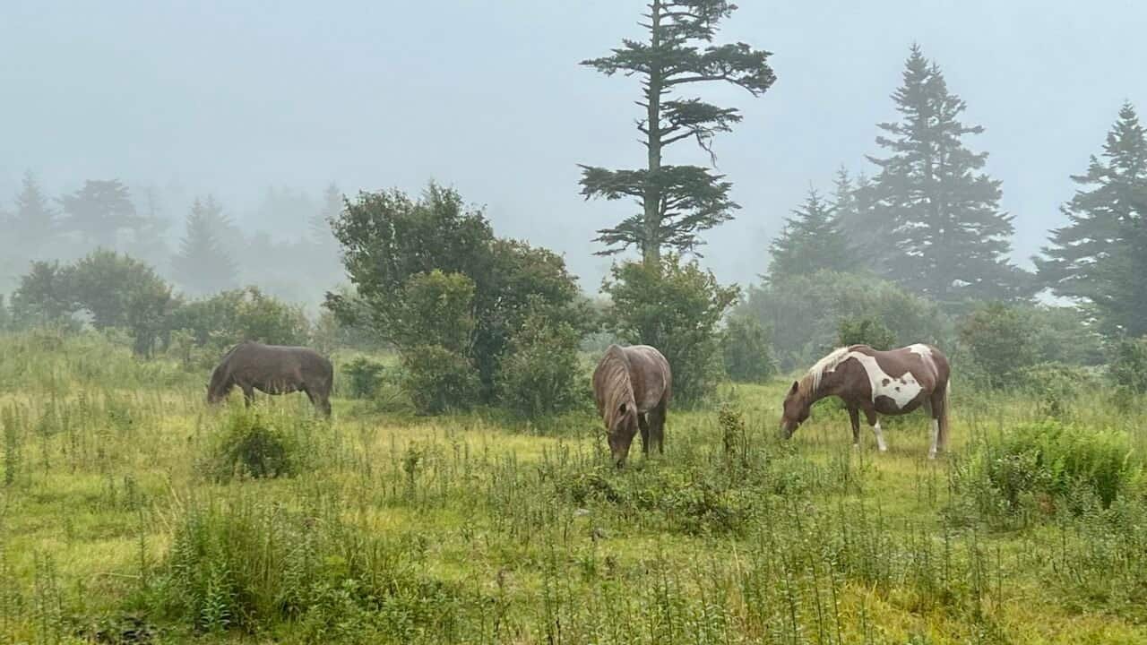
Ponies, at Last
On the descent, I missed the turnoff for the Rhododendron Gap Trail at the upper gate, but it ended up working in my favor. I stayed on the Appalachian Trail until I reached the first bear box—and shortly after that, there they were: three wild ponies, calmly grazing.
Totally worth the wait.
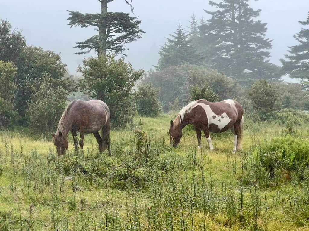
Photo: Wild ponies in Grayson Highlands
Not a Bear… Not a Pony…
I eventually picked up the Rhododendron Gap Trail, parts of which double as a mountain bike route. It was the least marked trail of the day and often felt more like a stream than a path. With reports of recent bear activity, I kept my bear spray close at hand.
Then I heard rustling ahead.
I stopped. Readied the spray. Backed up. Prepared myself for my first bear encounter.
Out of the bushes emerged… a longhorn steer.
WTF?!
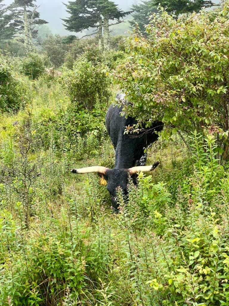
Photo: A longhorn steer appears from the bushes
A few more steers followed, including a massive white one with horns that could have their own zip code. Trail etiquette felt pretty clear in this situation—I gave them the right of way.
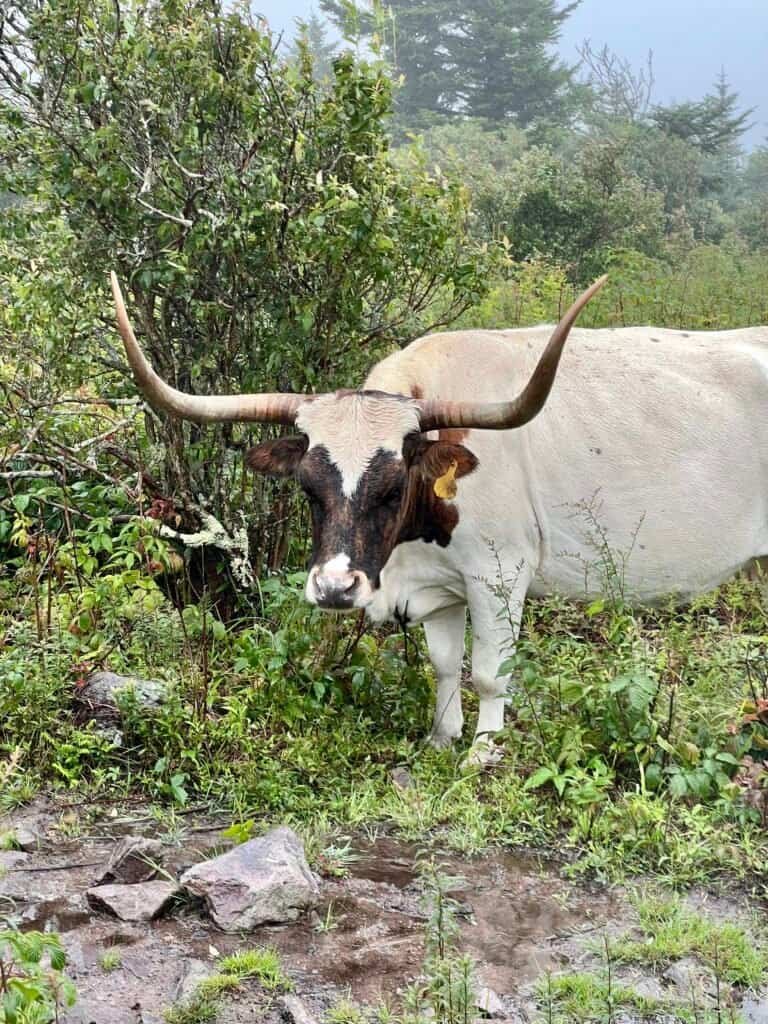
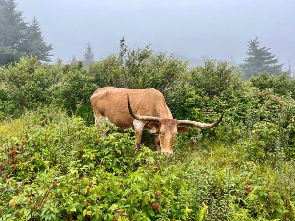
Photos: More longhorn steers, including the massive white one
Heading Home
Not long after the steer encounter, I passed a man hiking uphill in white leather sneakers, pants, and a flannel shirt—no jacket, soaked to the bone, and at least a mile from the summit. Unfortunately, it’s hikers like this who often end up needing search and rescue.
I continued down the Rhododendron Gap Trail, rejoined the Appalachian Trail, then followed Horse Trail North back to the parking lot.
Along the way, families kept asking if I’d seen any ponies. When I told them the only ones I saw were far up the mountain, I felt a bit like the Grinch—though the clearing skies gave them hope.
The full hike took 4 hours and 10 minutes, including slow scrambles and plenty of conversations. After changing into dry clothes, I drove out of the park, finally catching the landscape in sunlight.
Photos: From the drive out of the park
Another summit down. 38 more to go.
Next up on the list: Black Mountain | Kentucky
Catch you on the summit!
Date of Visit: 8 August 2023
Discover more from love cook adventure
Subscribe to get the latest posts sent to your email.
1 Pingback