At 4,393 feet, Mount Mansfield stands as the highest point in Vermont, ranking #26 among U.S. state high points and marking my 22nd summit. Known for its distinctive ridgeline—said to resemble a human face and aptly nicknamed “The Chin”—this Green Mountain icon had been on my list for a while.
From maple syrup to craft beer, covered bridges to ski slopes, Vermont has its vibe. However, this trip was about one thing: reaching the summit.
Welcome to Vermont
Land of Maple Syrup, Cheese, Covered Bridges… and Bernie Sanders.
Ok — I know there’s more. Skiing. The Green Mountains. Outdoor adventure. Breweries that punch above their weight.
So, from the Mid-Atlantic Coast, I headed back into New England to conquer Mount Mansfield and explore Smugglers’ Notch State Park.
As I drove north from Massachusetts on I-91, I stopped at the Guilford Welcome Center to grab maps and learn more about the area. Honestly, it’s one of the most beautiful welcome centers I’ve seen. Barn art. A crabapple orchard. Even a playground. A pretty strong first impression.
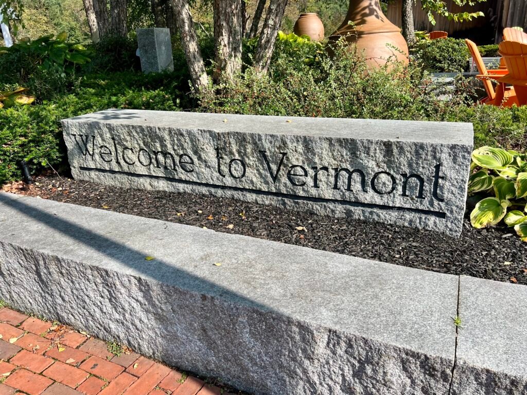
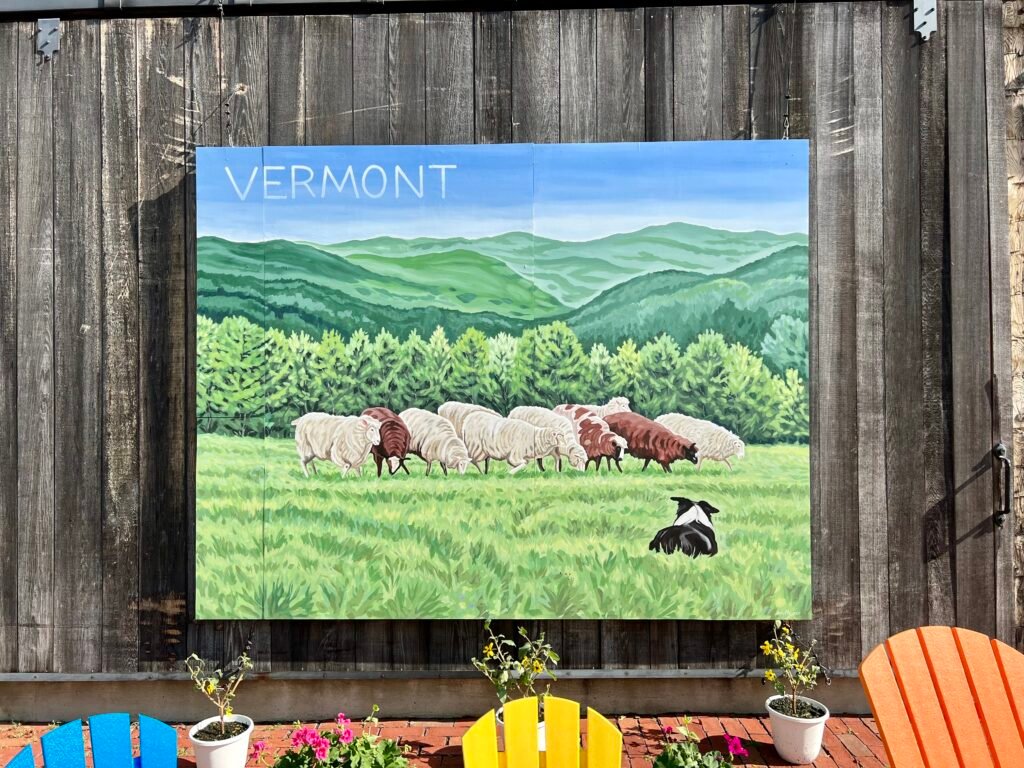
Photos: Welcome to Vermont | Barn Art
Back Roads & Waterfalls
Once I figured out where to stay, I hit the road again. I didn’t have to travel far up the Interstate before exiting.
After that, I was cruising Vermont back roads — and I totally loved it.
Eventually, nearing my destination, I came across Moss Glen Falls. Naturally, I had to stop. It’s about 9.5 miles south of Underhill on VT-100 and makes for an easy roadside break.
A little mist. A little green. A perfect Vermont moment.
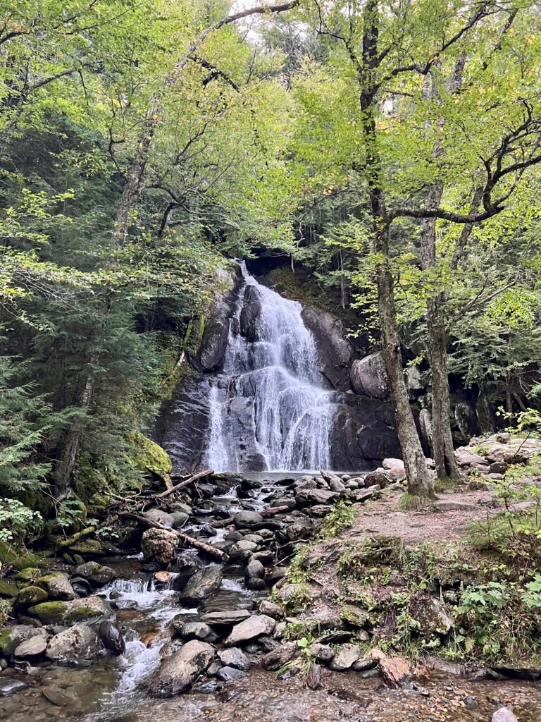
Photo: Moss Glen Falls – Granville, VT
A Hosteling we go
With wet weather moving through, camping wasn’t ideal. Meanwhile, hotels and Airbnbs were expensive. So I decided to try something different — two hostels in one trip.
The first stop was Hostel Tevere, a little over an hour south of Underhill State Park, where I would begin my ascent.
It’s a four-room, 23-bed hostel with a twist: an on-site restaurant called Déco, serving dinner Thursday through Sunday.
The hostel itself is simple. Shared dorms. Shared baths. No frills.
For the most part, it was quiet. Although, a late-arriving group next door did have an enthusiastic conversation about the next day’s plans. I also had a roommate — an older woman in town for a yoga retreat. She was quiet and up early. Just like me.
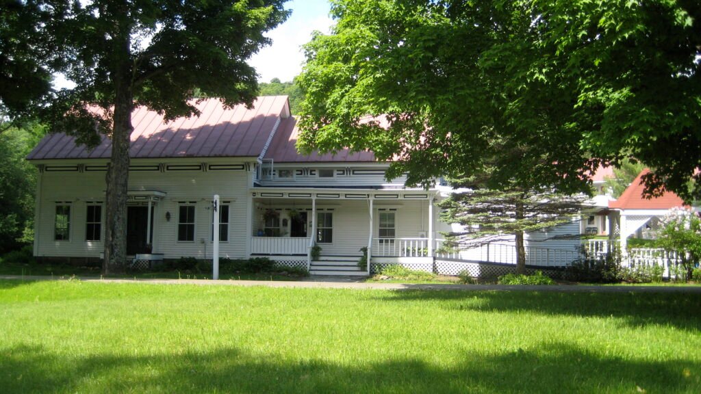
Photo: Hostel Tevere
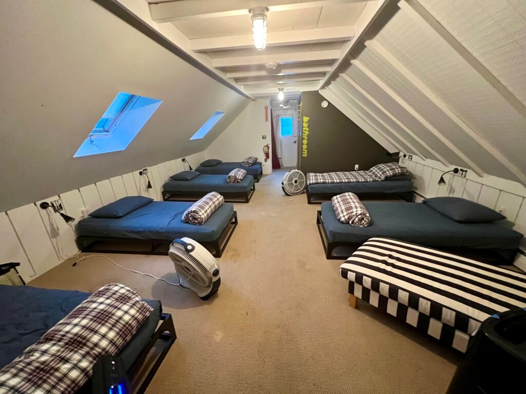
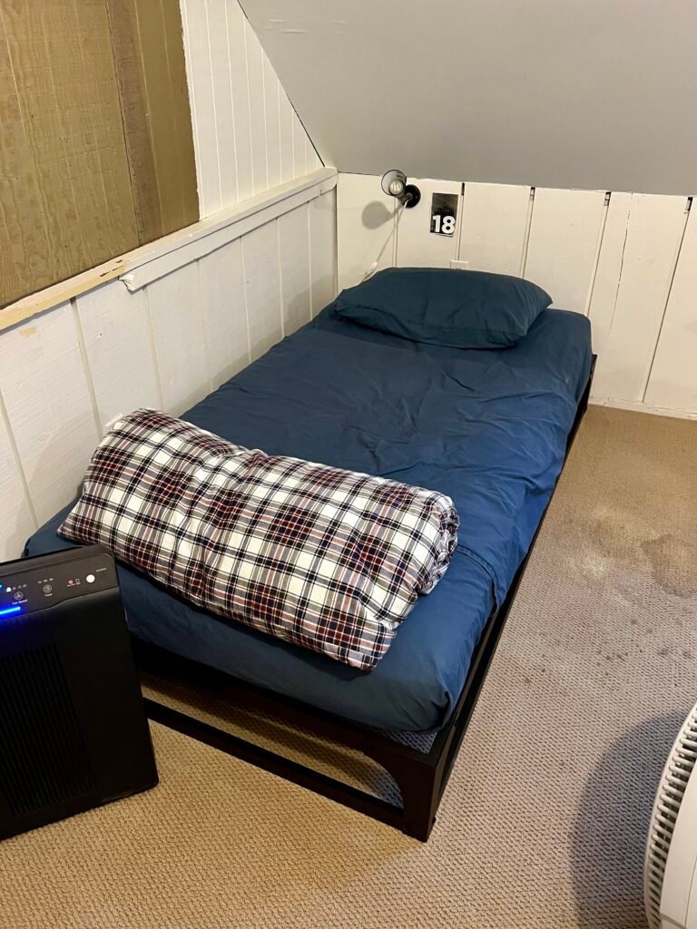
Photos: My Dorm Room | My Bed – #18
That evening, I decided to try Déco. I’m glad I did.
The service was fabulous, the beer list was unique, and the food was very good. I kept it simple: a loaded grilled cheese with Vermont cheddar, apple, and caramelized onion (no bacon — I’m a pescatarian), fries with mayo — mais oui! — and a beer.
It was certainly not what I expected from a hostel stay.
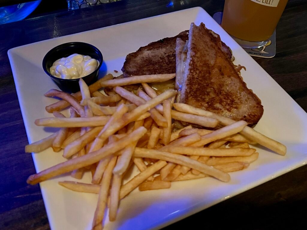


Photos: Loaded Grilled Cheese and French Fries | Beer | The Bar Area
About Mount Mansfield
Situated in northern Vermont, Mount Mansfield is the centerpiece of the Green Mountains. Its ridgeline forms distinct features known as The Chin, The Nose, and The Forehead.
Moreover, it’s home to rare alpine vegetation and diverse wildlife. In winter, it transforms into a ski destination. In summer and fall, hikers take over.
The popular Long Trail crosses the summit ridge and offers sweeping views of the Champlain Valley and Adirondacks — on a clear day.
Dreary Day for a Hike
The next morning, I grabbed coffee, chatted with the hostel owner, and headed north toward Underhill State Park — about 1 hour and 10 minutes away.
As I approached the park, I passed several cyclists grinding uphill. Two younger guys stood out. I’d see them again.
The day was overcast. Low clouds hung heavy. A light rain came and went.
Mountain Road climbs steadily toward the park entrance. I genuinely couldn’t imagine biking it.
Eventually, I rolled into the parking lot, paid the $5 fee, and geared up.
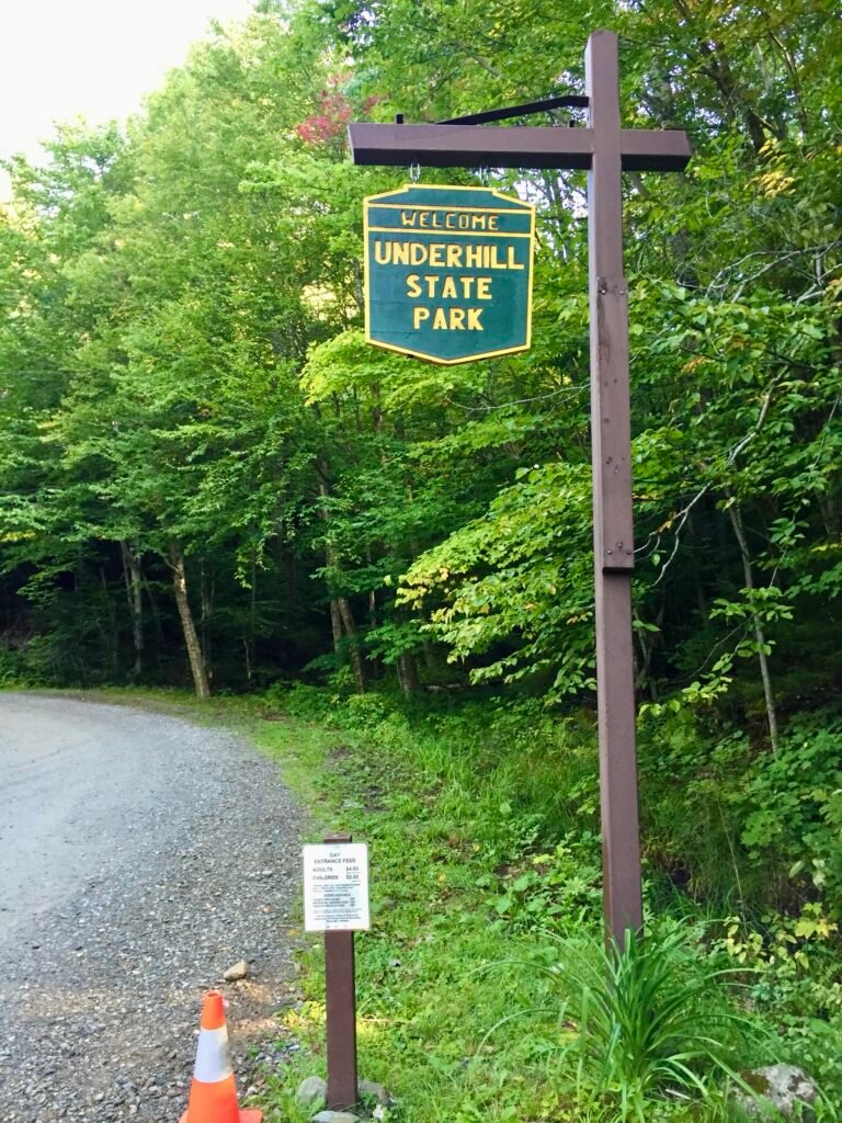
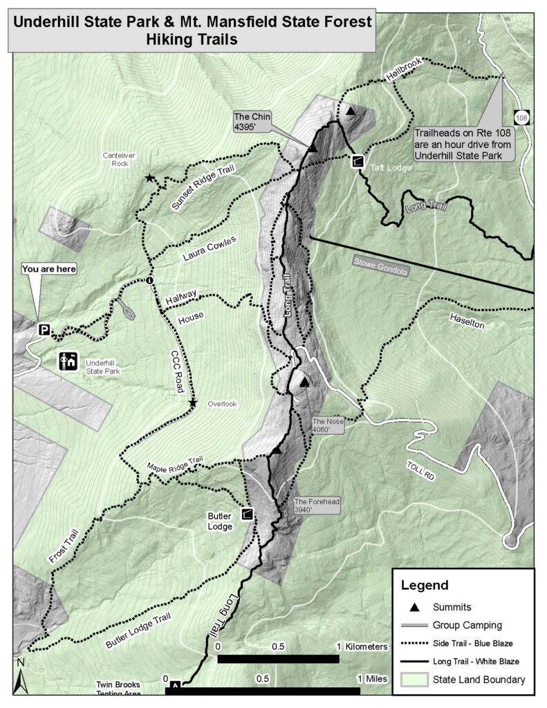
Photos: Underhill State Park | Park Map
Gunshots in the Distance
From the parking lot, Eagle Cut Trail provides a one-mile warm-up before reaching the Sunset Ridge Trailhead.
At the trailhead, I ran into the same two cyclists. Turns out, they had ridden from Burlington — over 20+ miles away.
And yes, they cruised up the mountain ahead of me.
We chatted briefly. Then we heard gunshots echoing in the distance.
They explained that the nearby Ethan Allen Firing Range was conducting exercises. Oddly enough, that was reassuring. At least I didn’t have to worry about hunters.
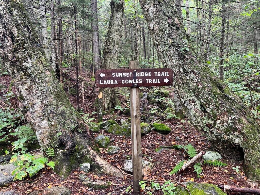
Tale of Two Trails
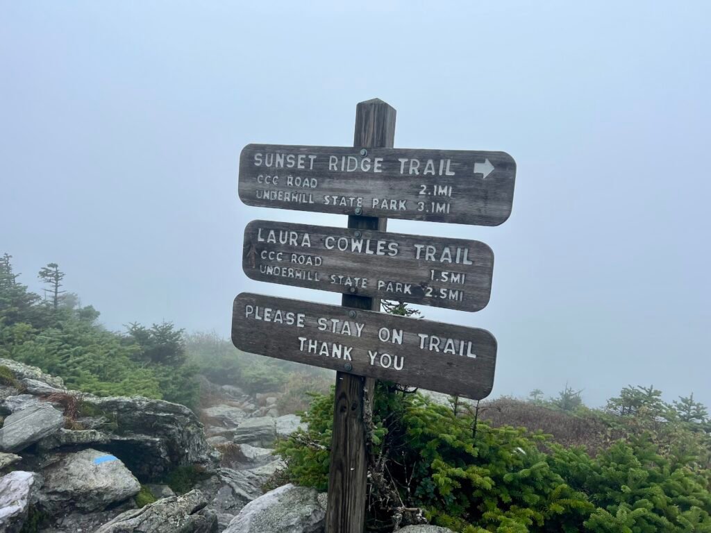
From this trailhead, you have two options to reach the Chin:
- Laura Cowles Trail – 1.7 miles (very difficult)
- Sunset Ridge Trail – 2.3 miles (still challenging, but more manageable)
Given the slick conditions, I opted for Sunset Ridge Trail. The Laura Cowles Trail is steep and rugged even on a dry day. With rain? No thanks.
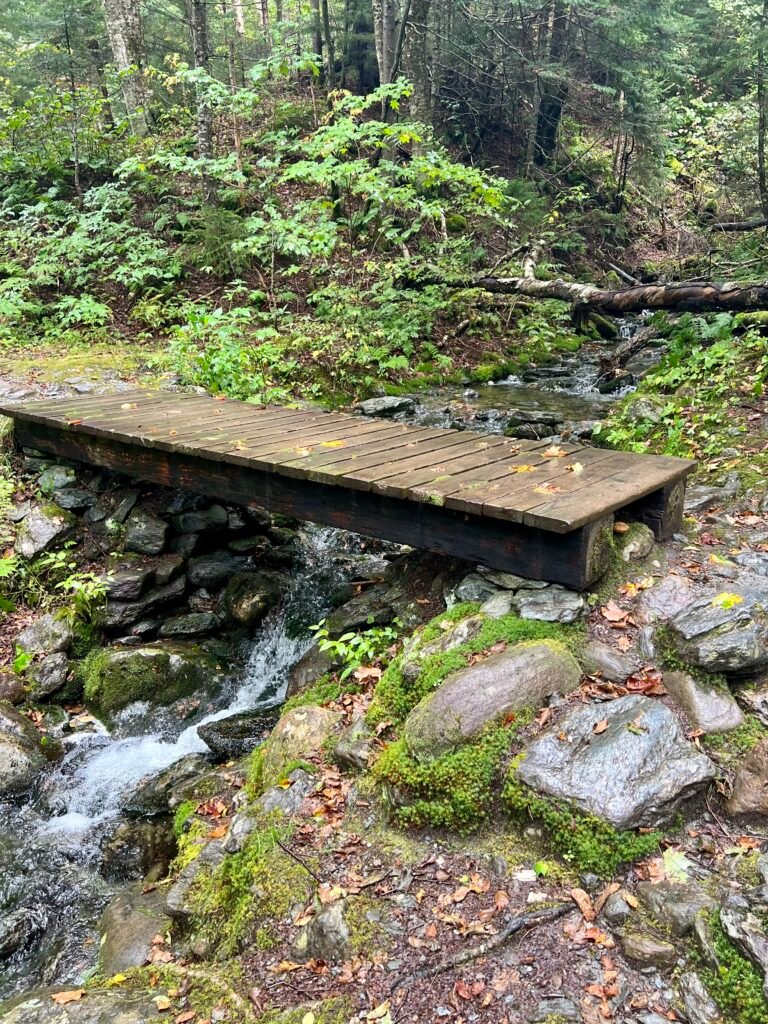
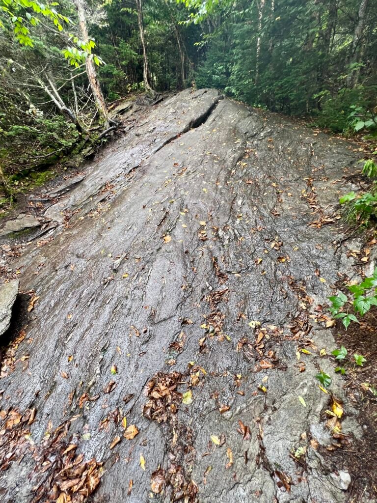
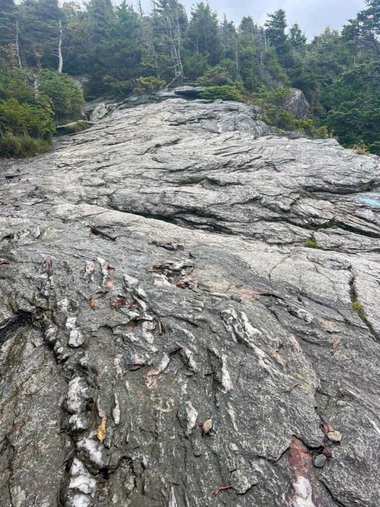
The rocky sections normally wouldn’t be an issue. However, they were slick and required patience.
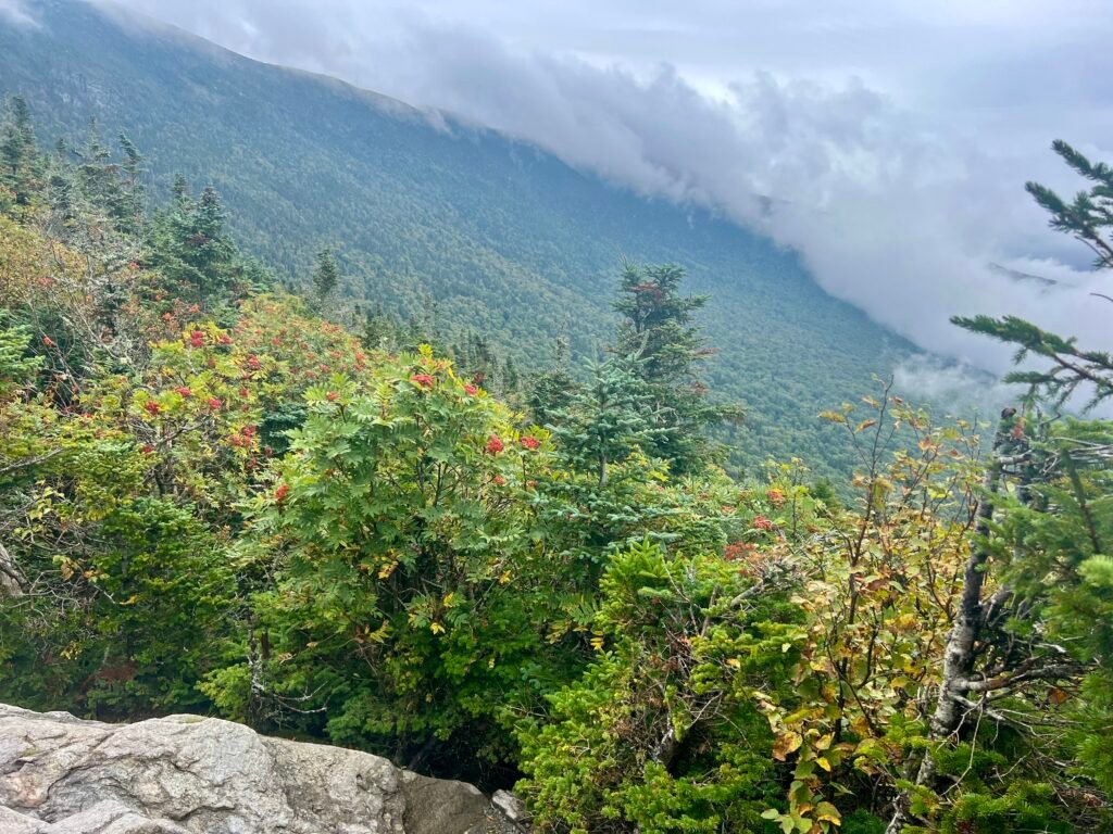
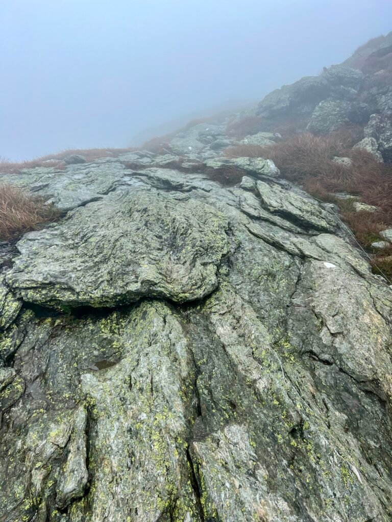
The first stretch winds beautifully through the forest. Then, gradually, you emerge above tree line. On a clear day, the views would open dramatically. For me, they were muted by cloud cover.
Still, the exposed rock sections were fun, challenging, and completely worth it.
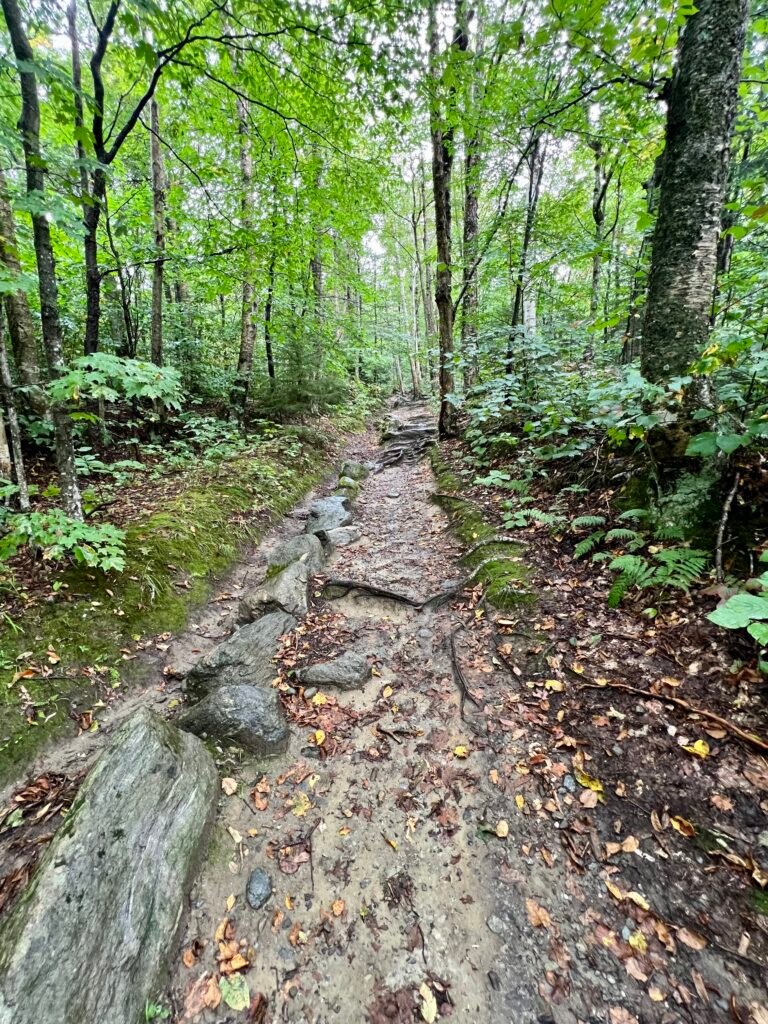
Photos: The initial portion of the Sunset Ridge Trail
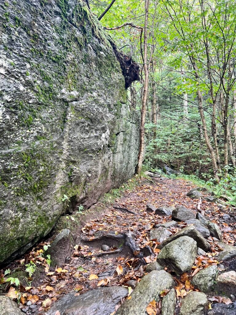
Photos: Where the trail splits | One of the giant boulders you’ll hike around
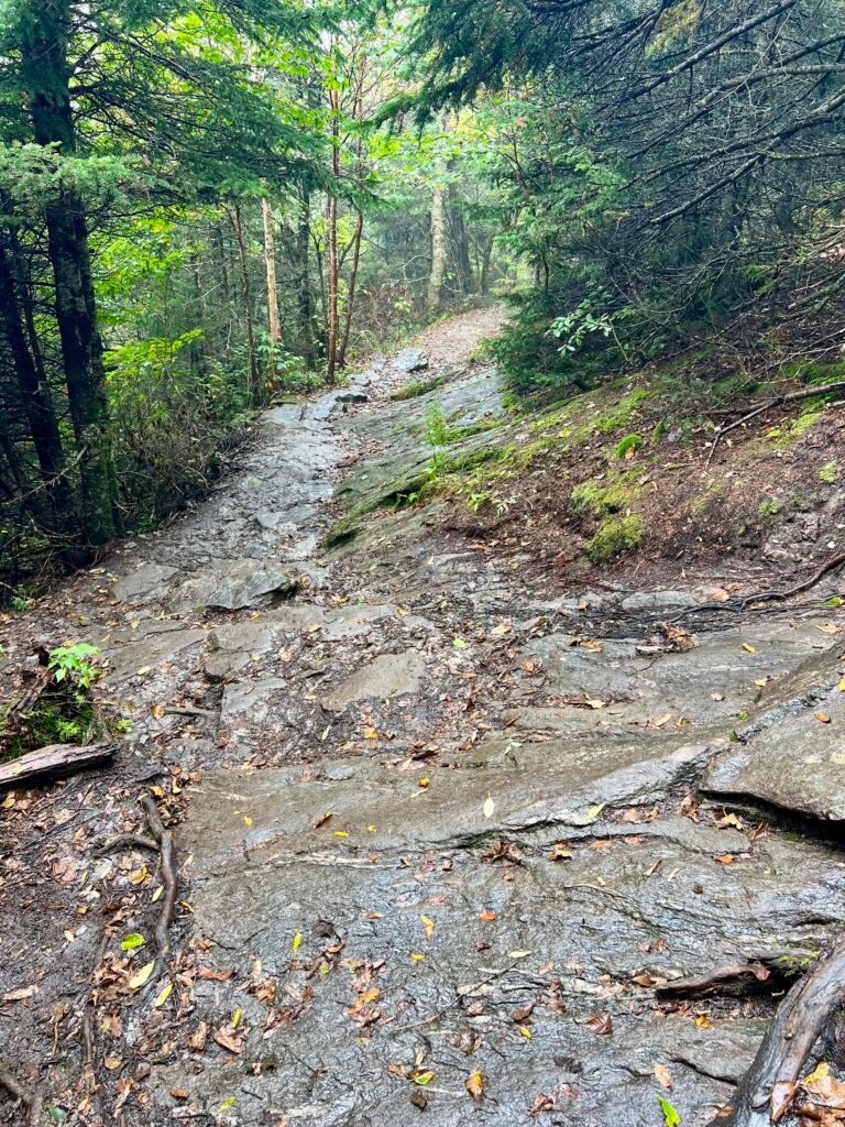
Photos: Some of the slick rocky areas
Photos: Leaving the covered forest |
One of the challenging exposed rocky areas
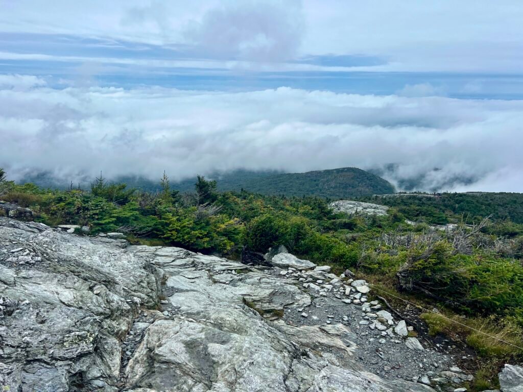
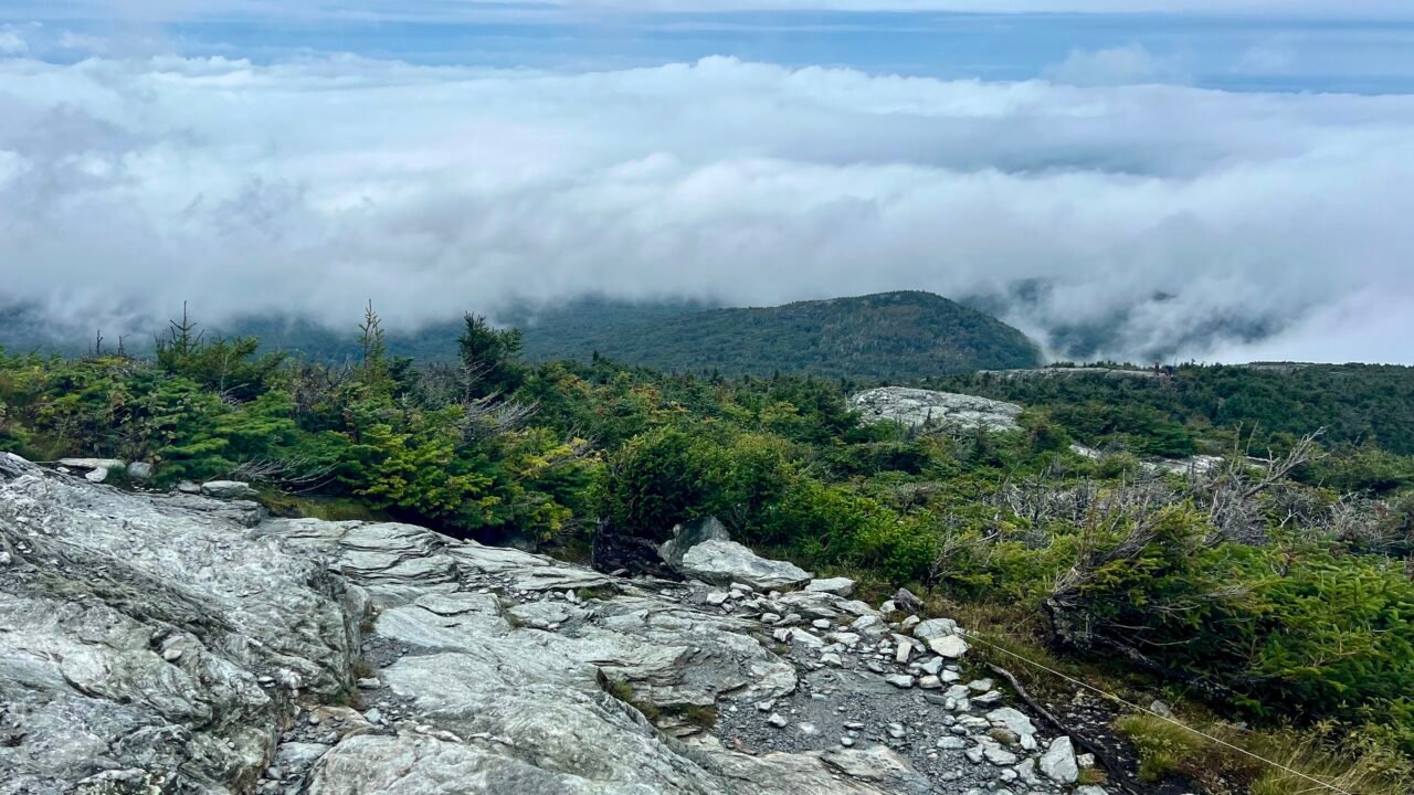
Photo: The only real view of the day
A Summit with No View
Once you reach the Long Trail, it’s a short push to the Chin — the highest point in Vermont.
On a sunny day, you can see the Champlain Valley and the Adirondacks.
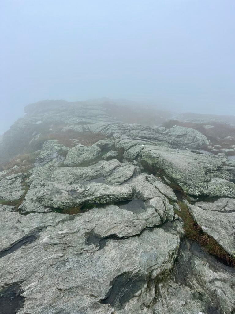
Today? Fog.
No sweeping panorama. No dramatic payoff. Just mist and wind.
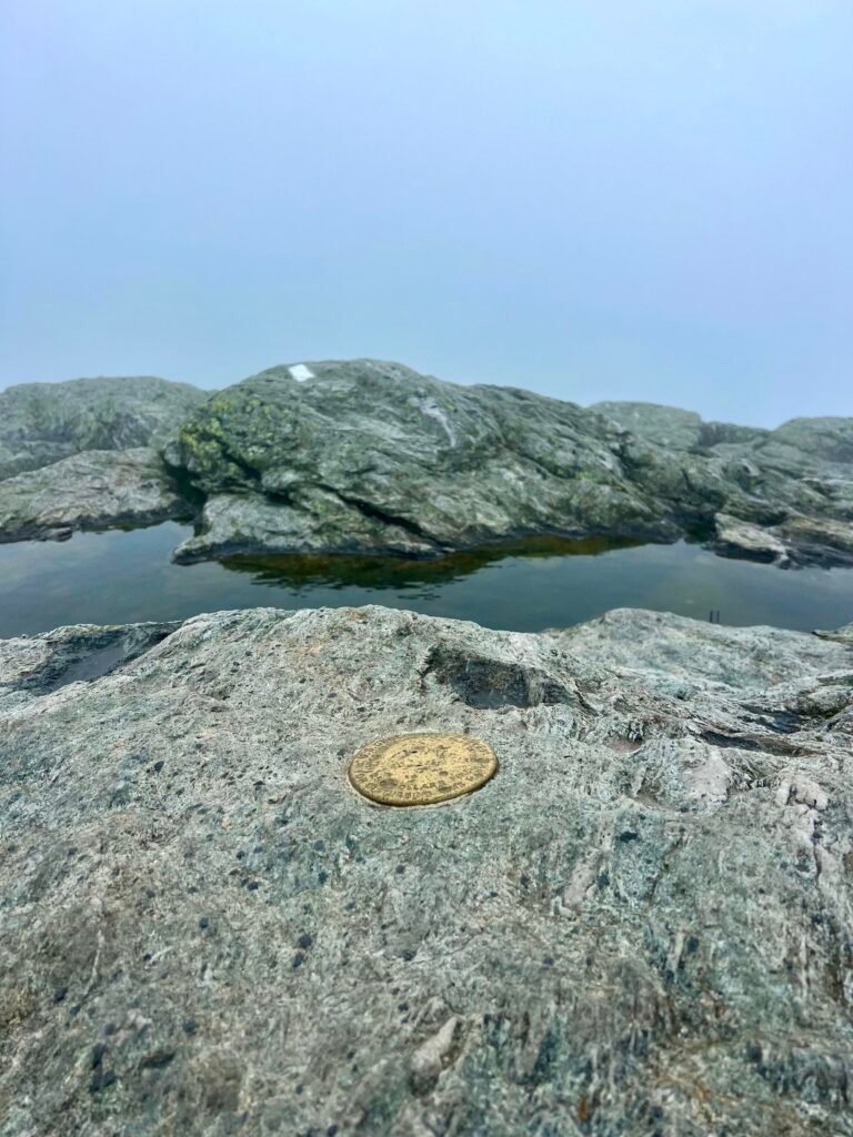
Still, the summit features a geodetic survey marker, and standing there felt like a true summit moment. Stark. Moody. Almost Icelandic.
If the weather had cooperated, I would have continued along the ridge to The Nose and The Forehead before descending via Maple Ridge Trail. That full loop would have totaled 7.7 miles and likely taken 7–8 hours.
Maybe next time.
Despite the weather, this was a great, challenging hike — and one I’d absolutely recommend.
Photos: Trail Intersection – the Laura Cowles Trail and the Long Trail | Final hike to the summit
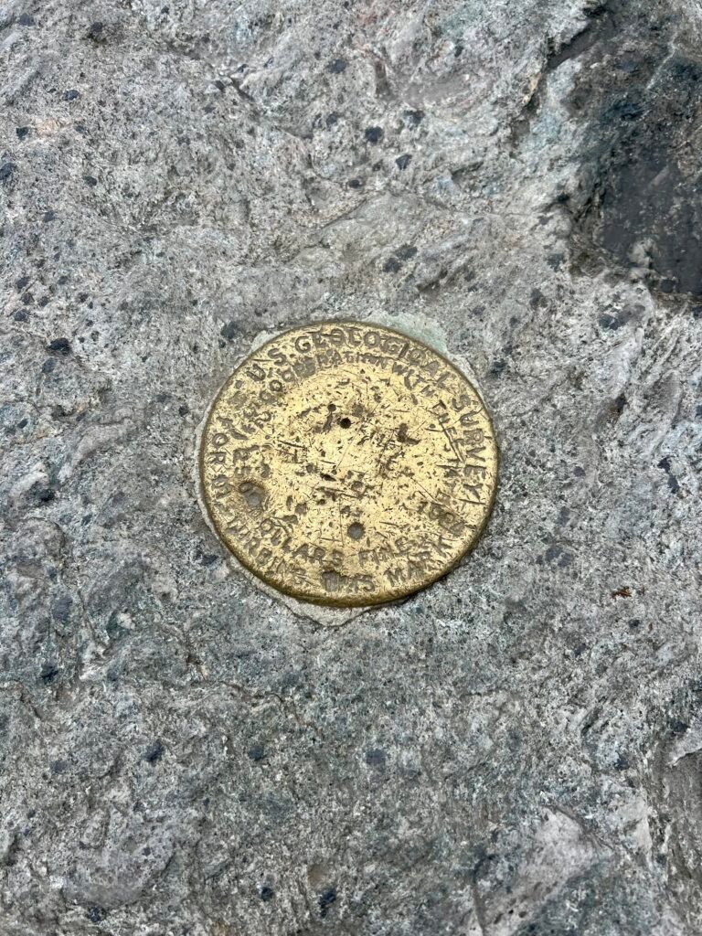
Photos: Survey Marker | Looks a bit like Iceland
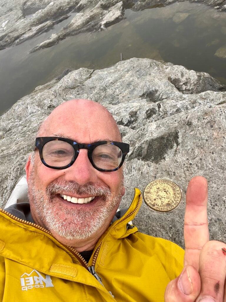
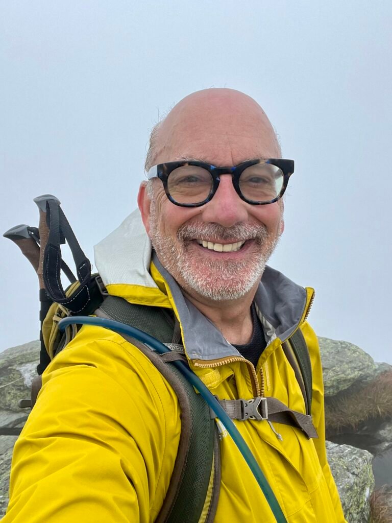
Photos: Summit Selfies
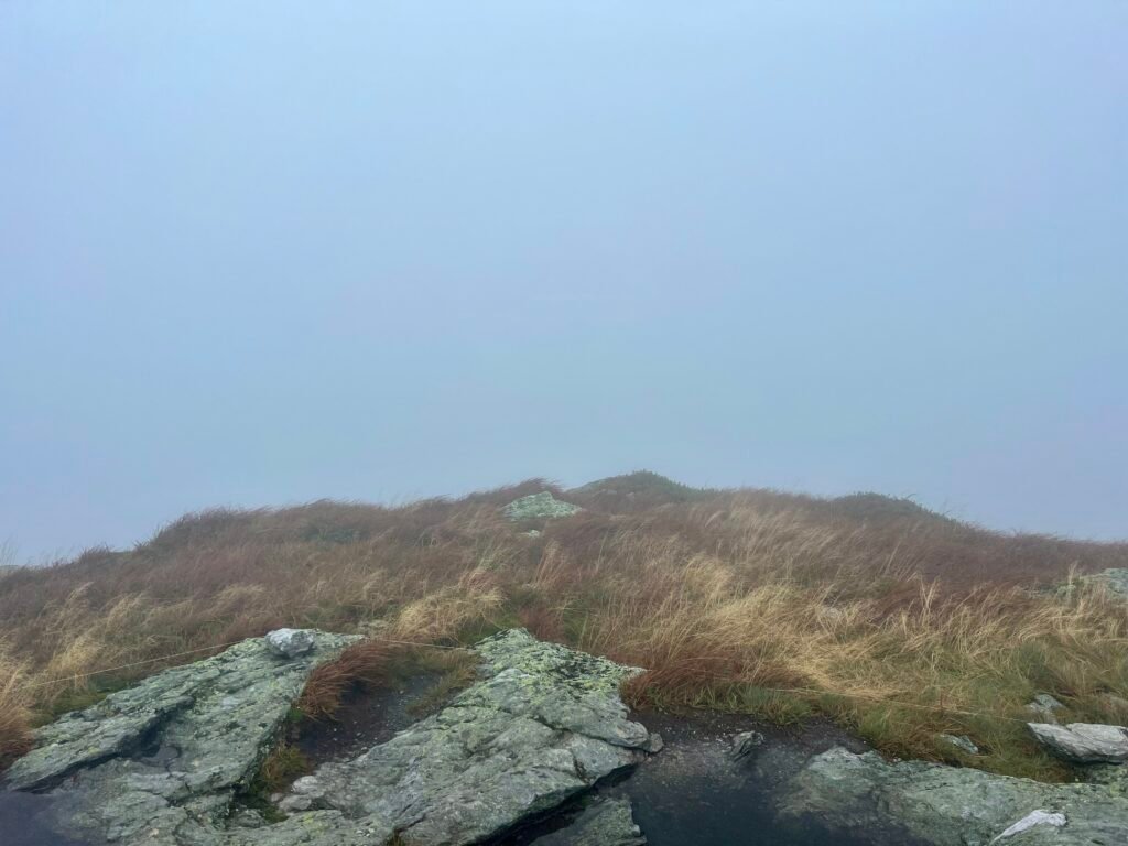
Photos: Views from the Summit – if you can call it a view
Next Stop…
With Mount Mansfield checked off the list, I headed toward Stowe for hostel #2 and a visit to Smuggler’s Notch State Park — on my Best State Parks list.
And no, I didn’t see Bernie Sanders.
However, I did see my first black bear in the wild. It sprinted across the road as I was driving to Stowe. That alone made the foggy summit worth it.
Catch you on the summit!
Date of Climb: 10 September 2023
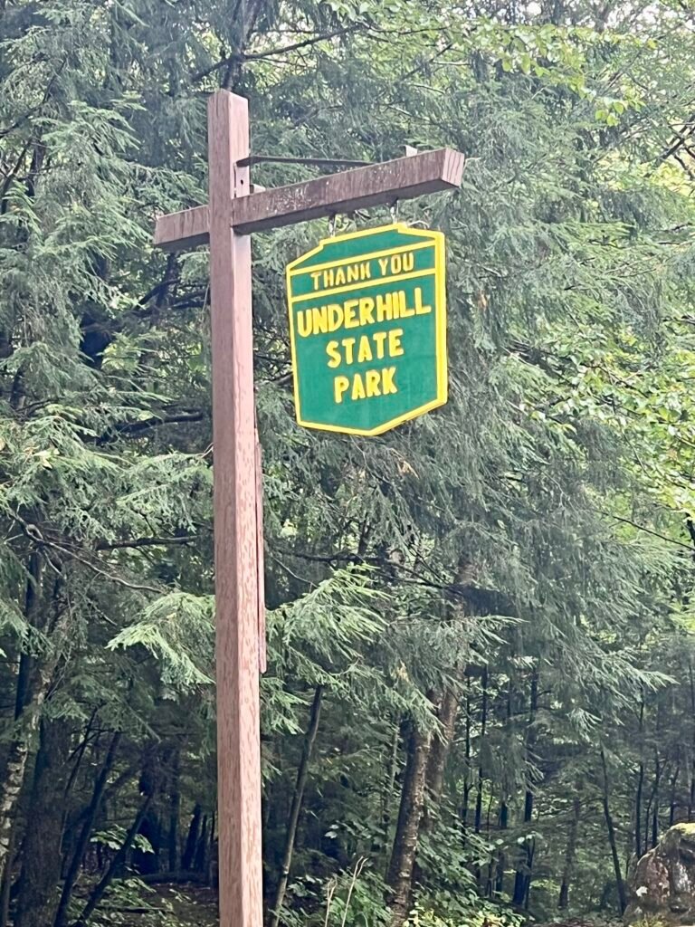
A quiet thank you from Underhill State Park — and one right back. 🌲
Discover more from love cook adventure
Subscribe to get the latest posts sent to your email.
2 Pingbacks