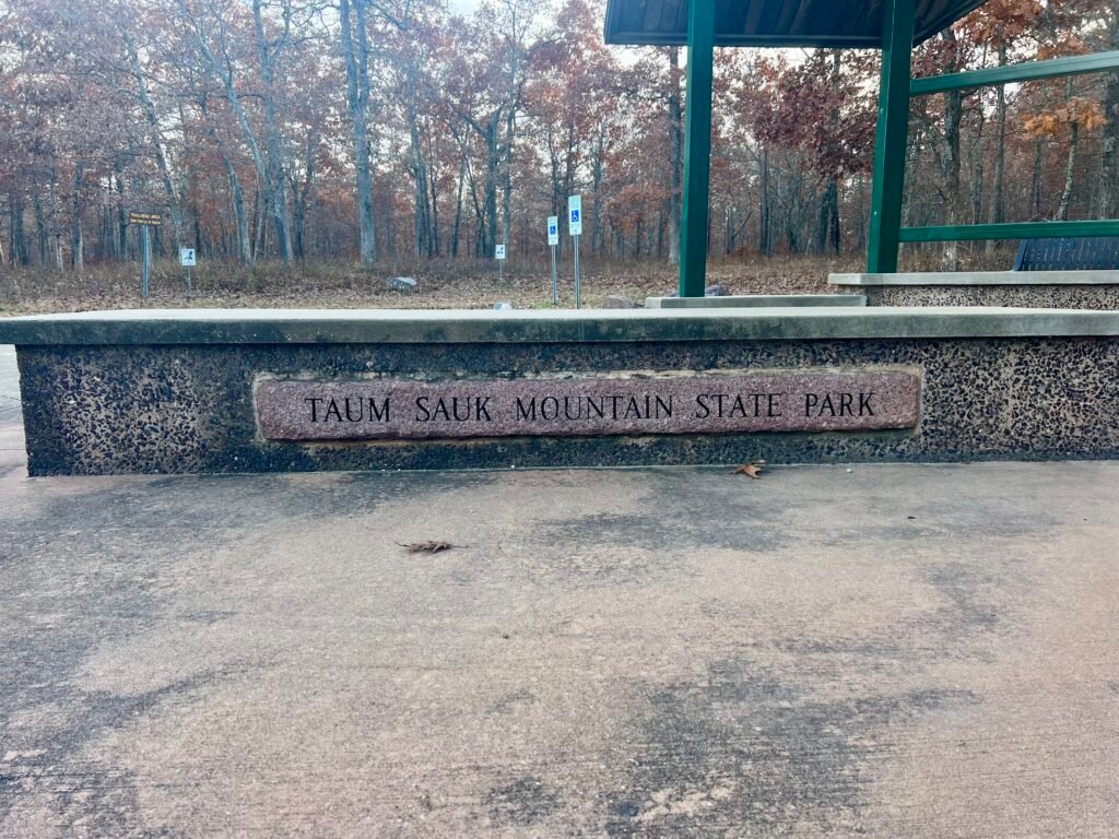
About Taum Sauk Mountain
Taum Sauk Mountain, located in the St. Francois Mountains of the Missouri Ozarks, is the highest natural point in the state. It stands at 1,772 feet, ranks #41 in State High Points, and was my 24th State High Point.
I sent a photo of me at the “summit” to my friend Pam, who’s originally from Joplin, Missouri. Her reply?
“Fantastic!”
Followed quickly by: “Had no idea MO had a high point! 🤣”
Honestly… fair.
It’s not exactly a dramatic summit. However, it is a beautiful state park, it’s outdoors, and it carries a surprisingly rich history.
Taum Sauk Mountain State Park encompasses roughly 7,500 acres of rugged terrain and dense forest. It’s also home to Mina Sauk Falls, the tallest waterfall in Missouri. The park sits about 100 miles — or roughly 1 hour and 45 minutes — south of St. Louis.
In addition, hiking trails — including the Taum Sauk section of the Ozark Trail — wind through the landscape. The mountain is also part of the Mark Twain National Forest, helping preserve it for future generations.
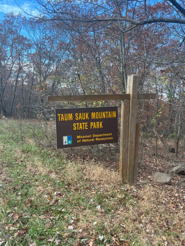
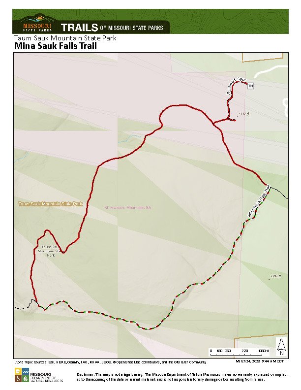
Photos: Park Entrance | Trail Map – Note: The High Point is in the upper right corner
Missouri’s Romeo & Juliet
While researching Taum Sauk Mountain, I came across one of the most fascinating origin stories of any high point so far.
Taum Sauk is believed to be named after a Pianskeshaw chief, Sauk-Ton-Qua. The legend surrounding his daughter, Mina Sauk, is often described as Missouri’s version of Romeo and Juliet.
However, instead of rival families, this tale features rival tribes.
Mina Sauk fell in love with a warrior from a hostile tribe. When Sauk-Ton-Qua killed the warrior by throwing him from a nearby cliff, Mina followed him over the edge. According to the legend, this act angered the mythical Storm King. A hurricane destroyed the tribe, and a lightning strike created a waterfall — washing away the blood of the lovers.
Today, that waterfall is known as Mina Sauk Falls.
Over time, settlers struggled to pronounce Sauk-Ton-Qua. As a result, the name gradually shifted to Taum Sauk.
My Visit to Taum Sauk Mountain:
After leaving St. Louis, I followed Missouri 21 south until I reached Highway CC. The road remains paved until the Lookout Tower. After that, the final 0.8 miles to the trailhead is dirt.
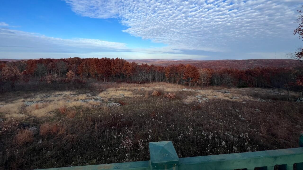
Along the way, you’ll pass The Overlook — which, ironically, is the only true viewpoint from the mountain.
Shortly after that, you reach a relatively small parking lot.
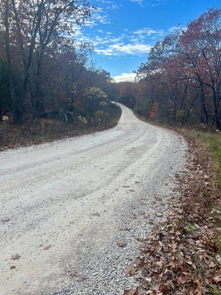
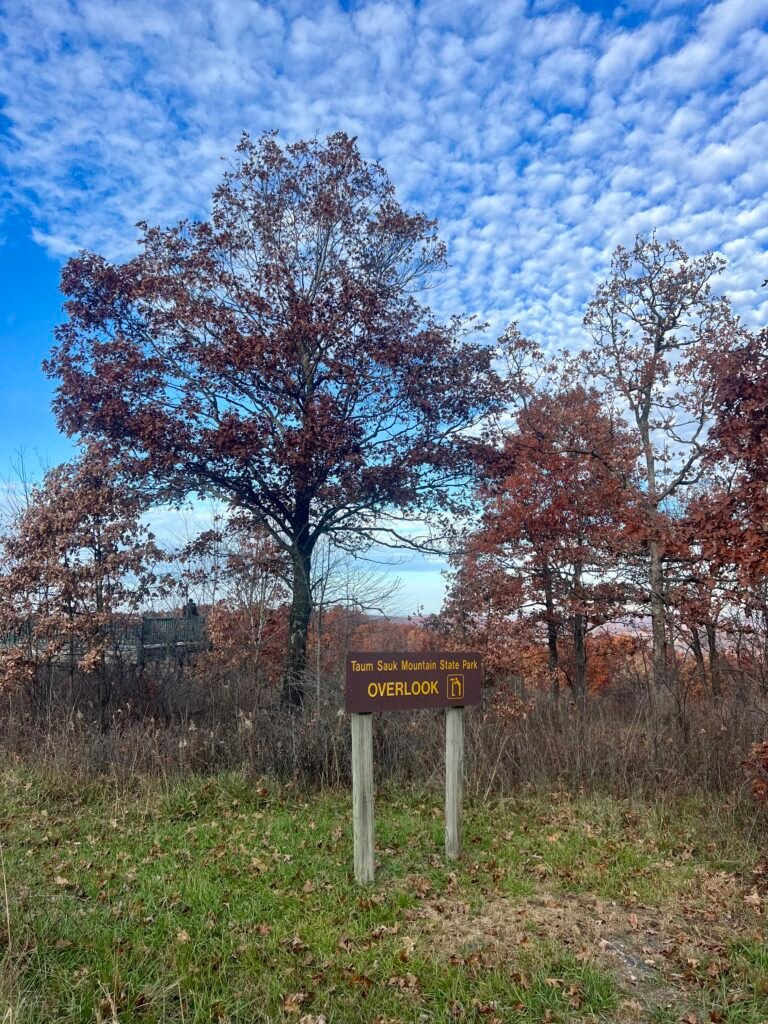
Photos: The last 8/10 of a mile – Dirt Road | The Overlook
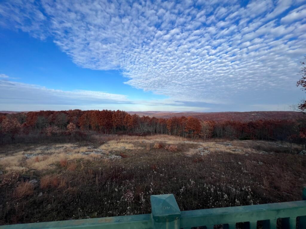
Photo: View from The Overlook
I arrived late in the afternoon. Since the hike to the summit is short, I didn’t prepare much.
The climb? A grueling 0.4 miles out and back.
Yes… exhausting. 😄
All kidding aside, what I genuinely appreciated was how accessible this high point is. A paved path leads directly to the summit marker. As I was leaving, I met a small group that included a man in a wheelchair. Not all high points can be accessible — so it was pretty cool that this one is.
At the summit, you’ll find a marker, a bench, and a sign-in log.
Simple. Clean. Done.
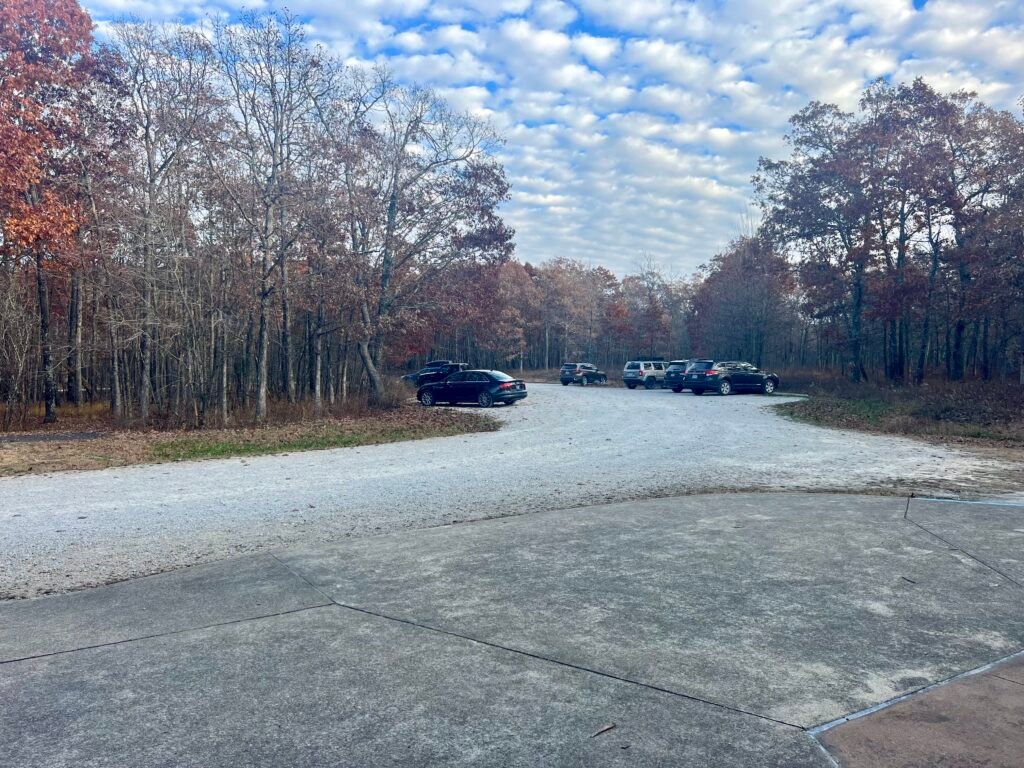
Photos: Parking Lot Area | Parking Lot
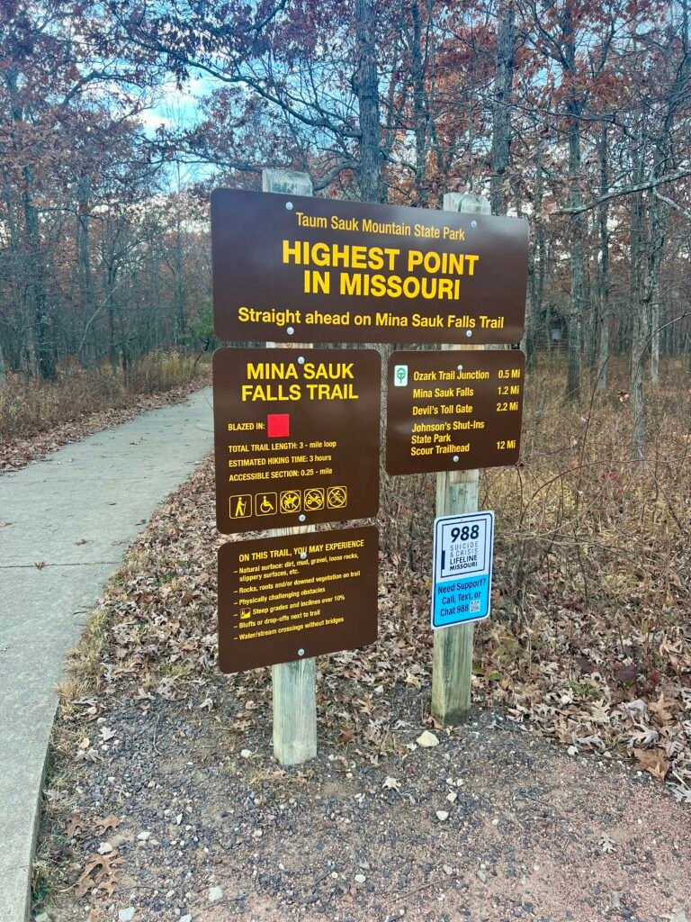
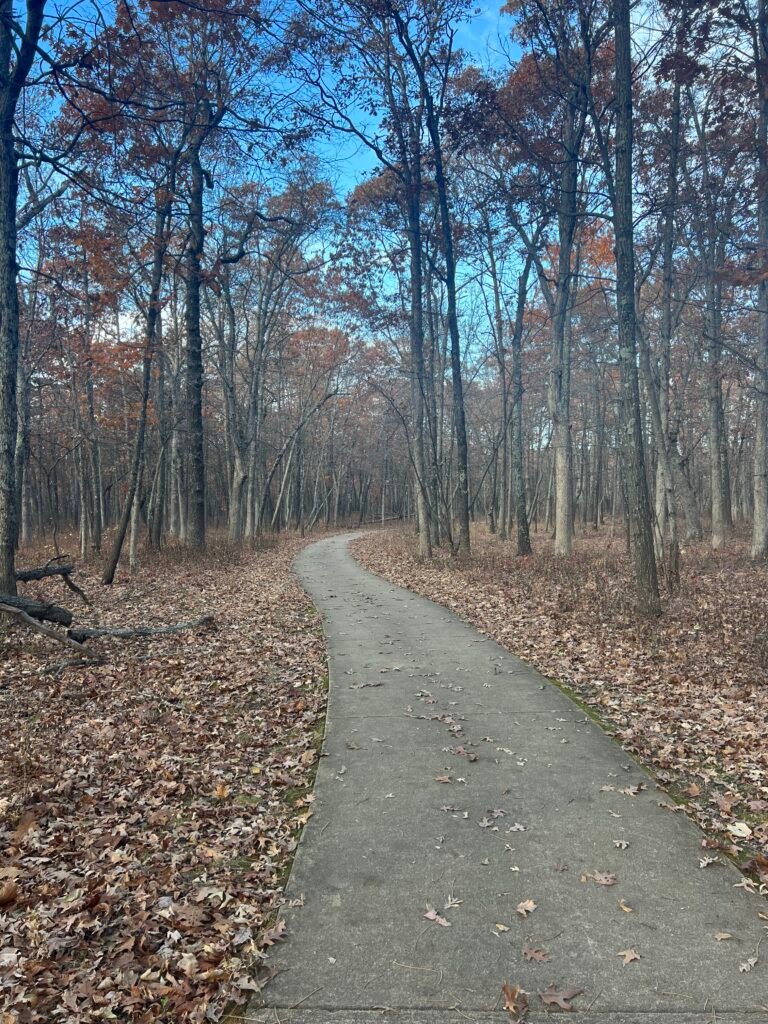
Photos: Trailhead | Paved Path to the High Point

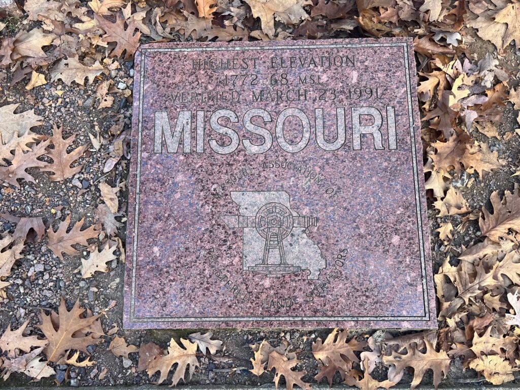
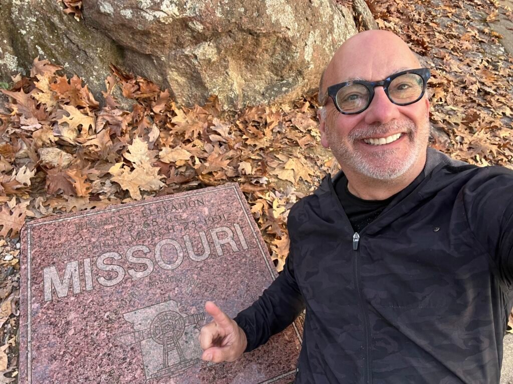
Photos: Sign-In Log Book | High Point Marker | Summit Selfie
My Disappointment
After tagging the summit, I decided to hike toward Mina Sauk Falls. The trail branches off near the high point.
However, the terrain quickly became rocky. I wasn’t wearing the right footwear. More importantly, I had no water, snacks, or headlamp — and it was getting late.
I pushed about a quarter of the way down the trail. Then I made the call to turn back.
Several groups were continuing on. Still, it felt smarter not to force it.
I’ll be back.
Maybe when I visit Lake of the Ozarks State Park (on my Best State Park in Each State list), I’ll carve out time to return. It’s about a 3.5-hour drive from here — so it may take some planning.
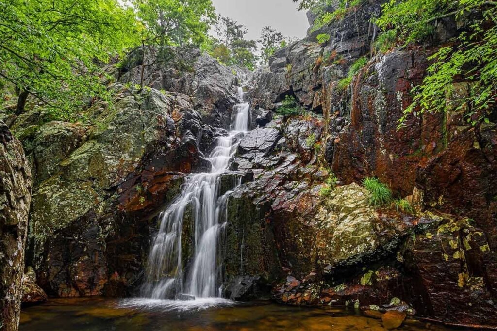
Photo: Mina Sauk Falls – Next Visit Goal
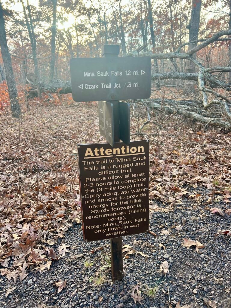
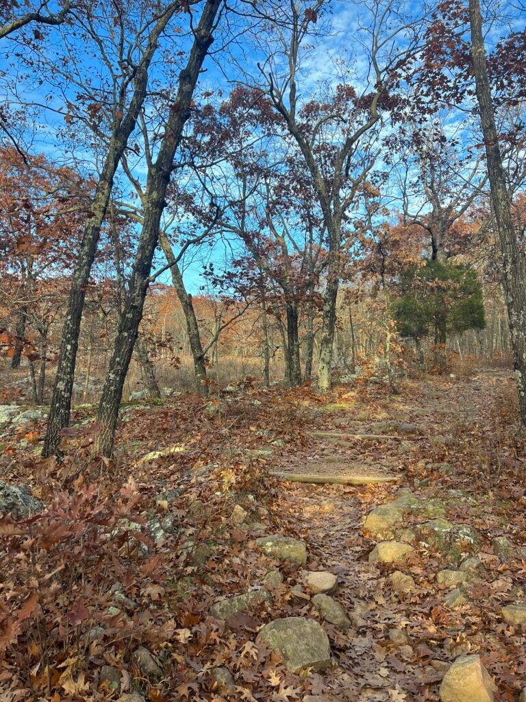
Photos: Trailhead to Mina Sauk Falls | Trail to Mina Sauk Falls
On the way out, I stopped at the Lookout Tower.
If you’ve read my previous posts, you know I have a healthy respect for heights. I’ve passed on several towers before.
So this time? I decided to conquer it.
Or… not.
I made it about a quarter of the way up and turned back.
Second disappointment of the day.
Oh well. One of these days, I’ll conquer that fear.
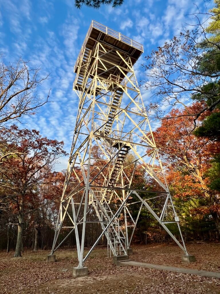
Photo: My Nemesis – Lookout Tower
After Missouri, I continued west and eventually made my way to Mount Magazine, the high point of Arkansas — another surprisingly scenic summit.
Catch you on the summit!
Date of Visit: 11 November 2023
Discover more from love cook adventure
Subscribe to get the latest posts sent to your email.
Leave a Reply