At 1,951 feet above sea level, Timms Hill is the highest natural point in the state of Wisconsin, ranking #39 among U.S. state high points. This marked summit #30 on my high-point journey. While it doesn’t compete with the dramatic peaks of the Rockies or Appalachians, it absolutely holds its own in charm and quiet beauty.
Named after Timothy Gahan, a logger who camped nearby in the late 1800s, Timms Hill wasn’t officially recognized as Wisconsin’s highest point until a resurvey in the 1960s. Before that, many believed Rib Mountain, just west of Wausau, held the title. History has a funny way of correcting itself.
Takin’ the High Road
After wrapping up a few days in Chicago (yes, that adventure has its own post), I was back in the Upper Midwest and ready for the next summit.
Landing in Minneapolis bright and early, I knew it would be a big travel day. First, I grabbed my camping gear from storage and officially retired it for this stretch of the trip. Then, naturally, I made a quick detour to REI’s flagship store in Bloomington — complete with two indoor rock-climbing towers. Because why not?
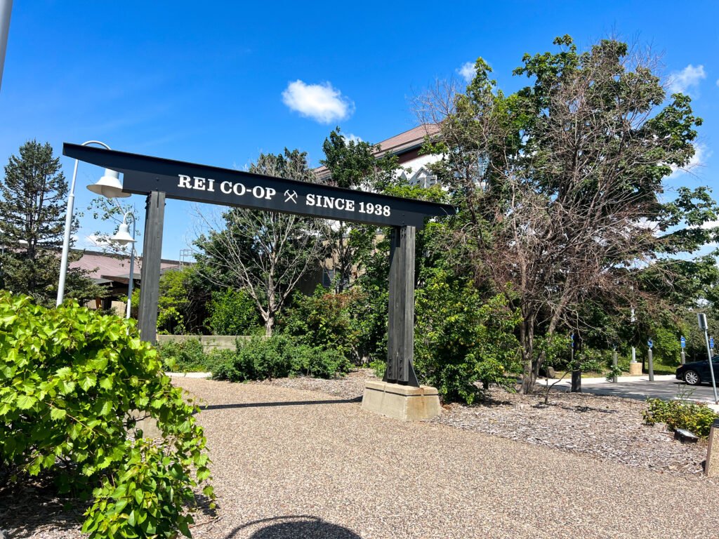
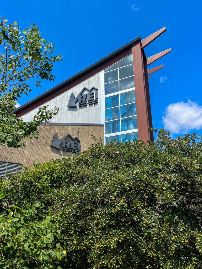
Photos: REI Flagship Store in Bloomington (Minneapolis), MN
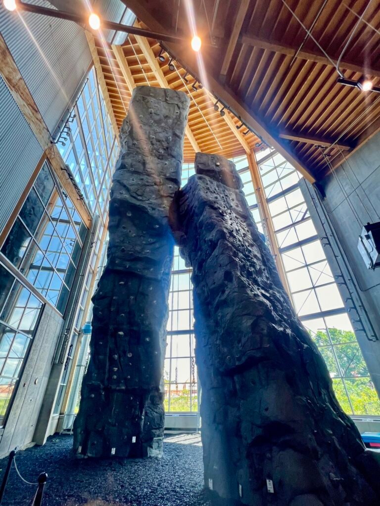
Photo: The REI Rock Climbing Towers – Wild!
I had heard the bugs in Michigan and Minnesota were relentless, so I was on a mission to snag a head net. However, when I saw the checkout line stretching toward what felt like Canada, I pivoted. Walmart it was.
Stocking Up for Adventure
Conveniently, Aldi sat right across the highway. So I grabbed a few road trip essentials — snacks, hydration, and anything else that felt responsible. Next came Trader Joe’s just outside St. Paul for a little variety. Finally, I made one more stop at Walmart in Hudson, Wisconsin to secure the head net.
Fully stocked and ready to roll, I pointed my rental SUV toward Timms Hill. The drive clocked in at about 2 hours and 40 minutes. Plenty of time to settle into Midwest scenery mode.
Lost in the Woods (Sort of)
Arriving at Timms Hill County Park, I briefly questioned my internal compass — which says a lot considering I go by the nickname Rand McNally.
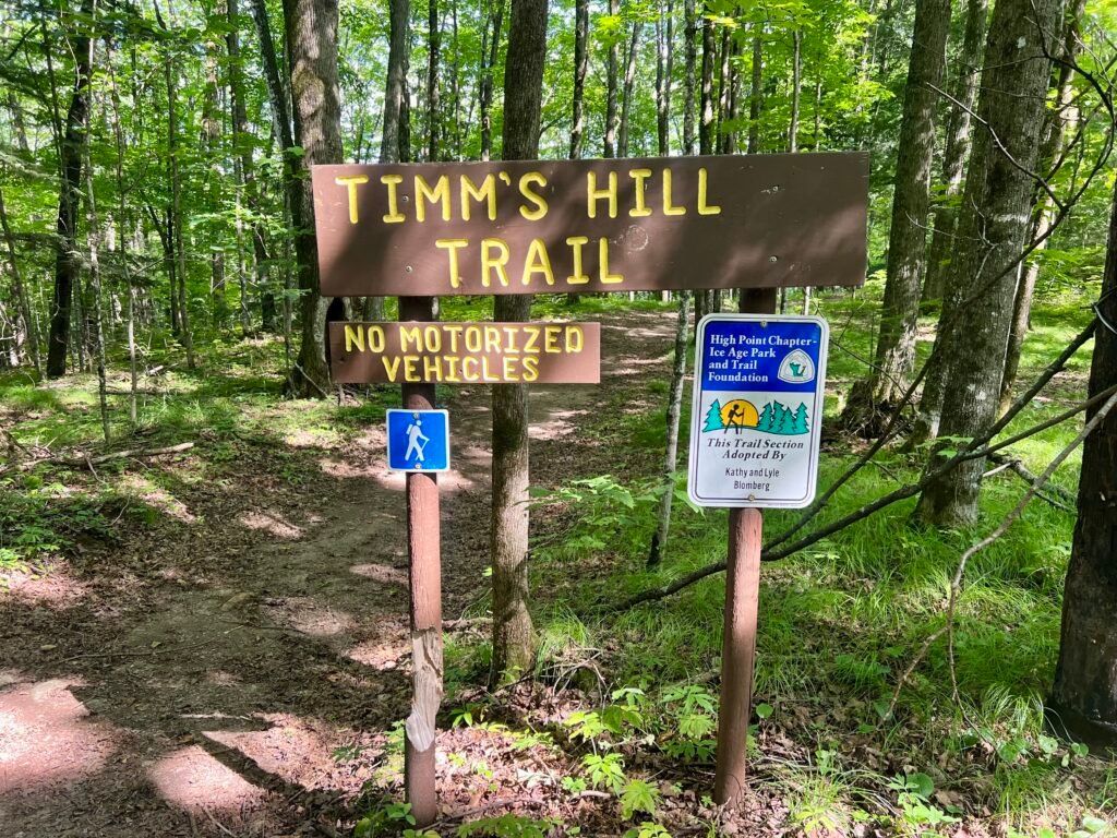
I found a trailhead for both the Timm’s Hill National Trail and the Timms Hill Trail. Naturally, I assumed I was in the right place. I parked, doused myself in bug spray, and headed toward the map. Still, something felt off — like showing up to a costume party only to realize it’s black tie.
So I drove a little farther into the park.
And there it was.
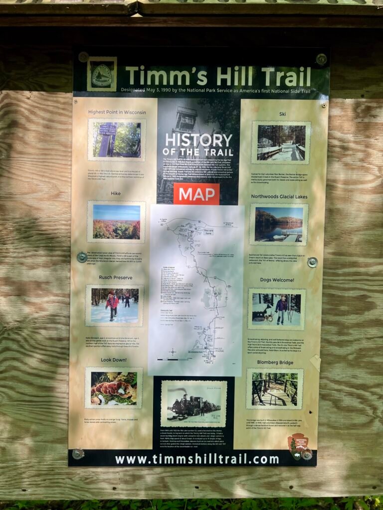
The actual parking lot. Restrooms. A large informational sign. A map that made sense. With that, the summit was just a short 300-yard walk away. Easy peasy.
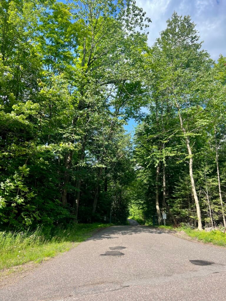
Photos: The Entrance off County Road RR |
The Road into Timms Hill County Park
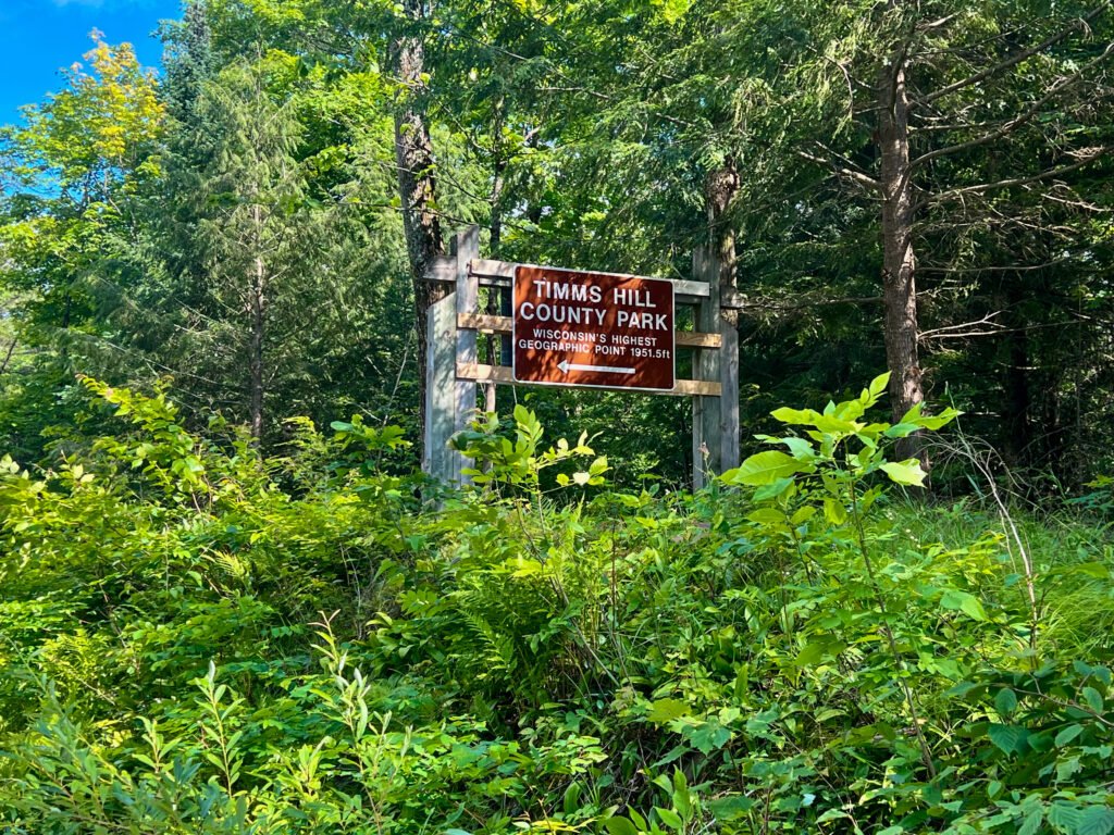
Photos: My First Stop – easy to see why I assumed this was the trailhead
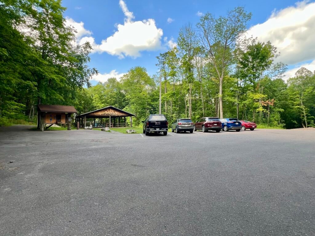
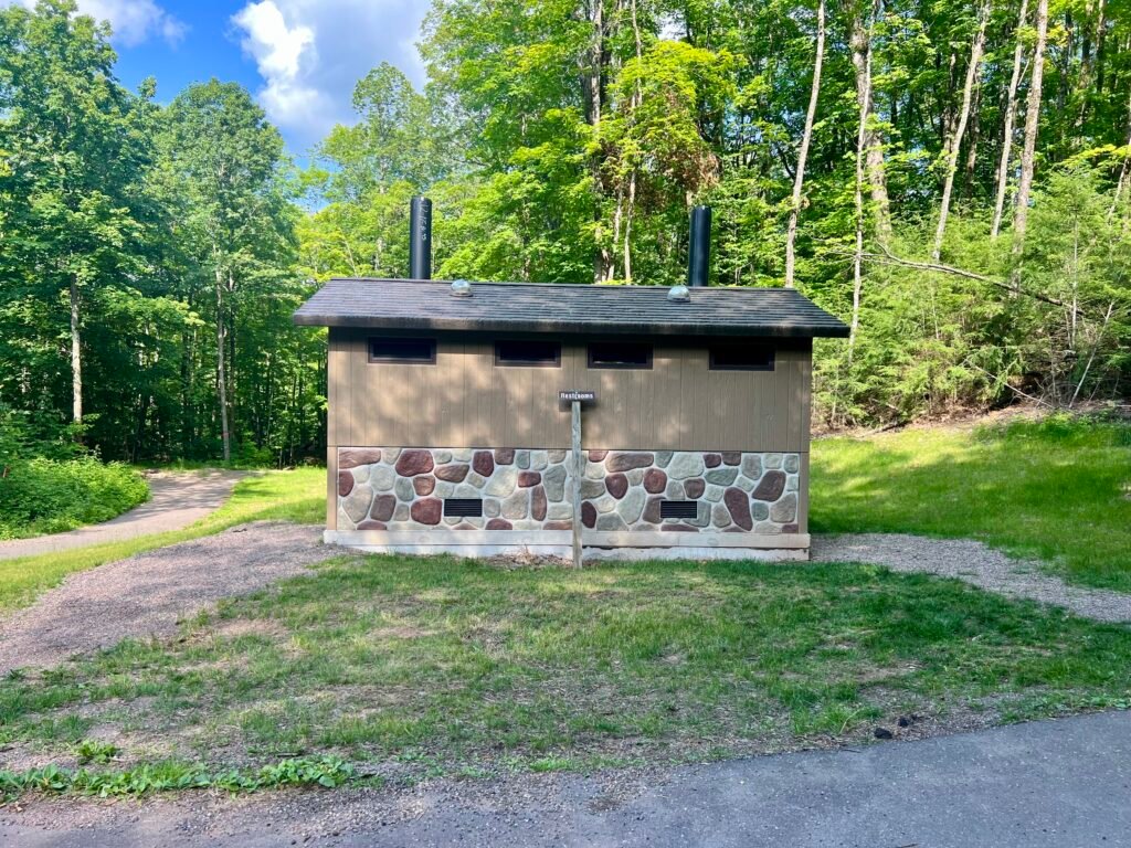
Photos: The real parking lot | Complete with modern facilities
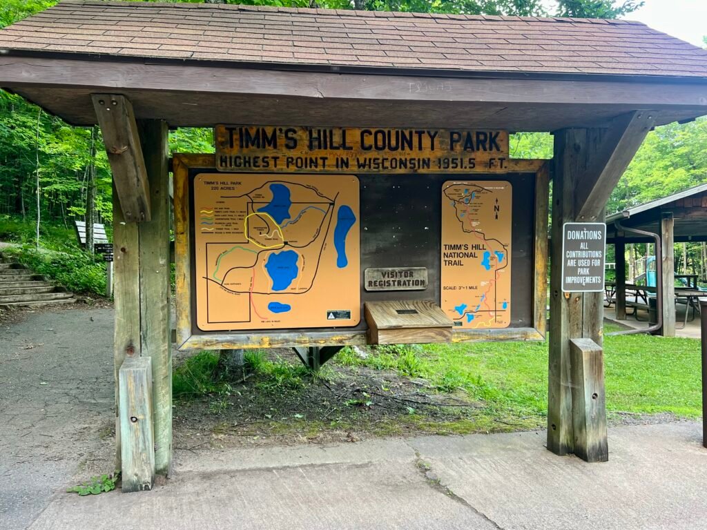
Photo: Trail Maps and Information
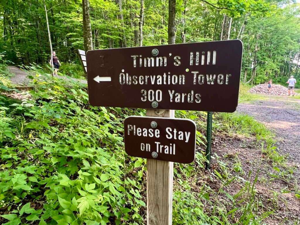

Photos: Trail Marker | The Tower Trail to the Summit
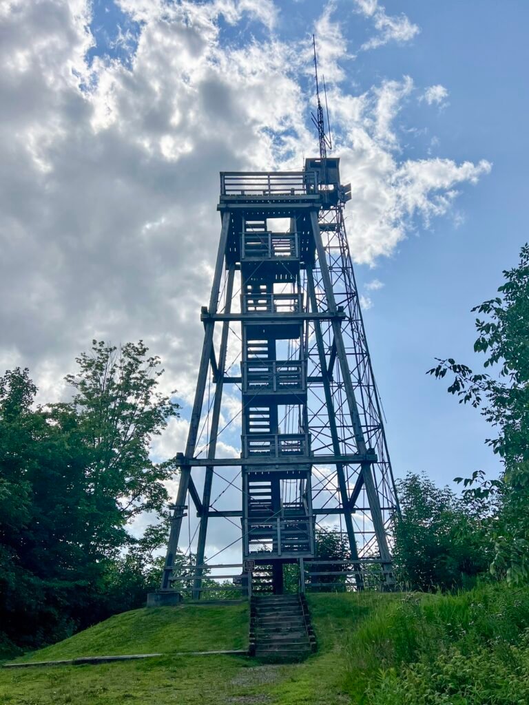
Photo: As You Reach the Hilltop, You’ll Spot the Two Towers and Timms Hill Summit
Summit Success: Selfies and Scenic Views
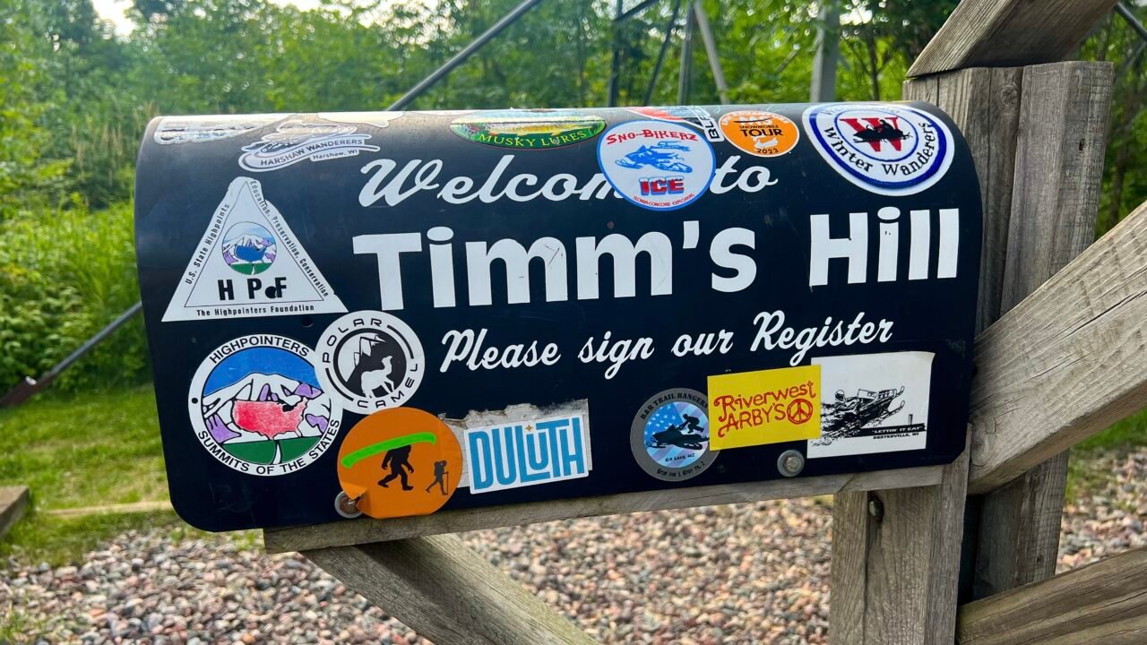
At the summit, I was greeted by the familiar sight of a Highpointers Foundation Bench and a mailbox containing the summit register — always a welcome tradition. There were two towers to choose from. One was a fire tower with the official geomarker. The other was a wooden observation tower offering panoramic views.
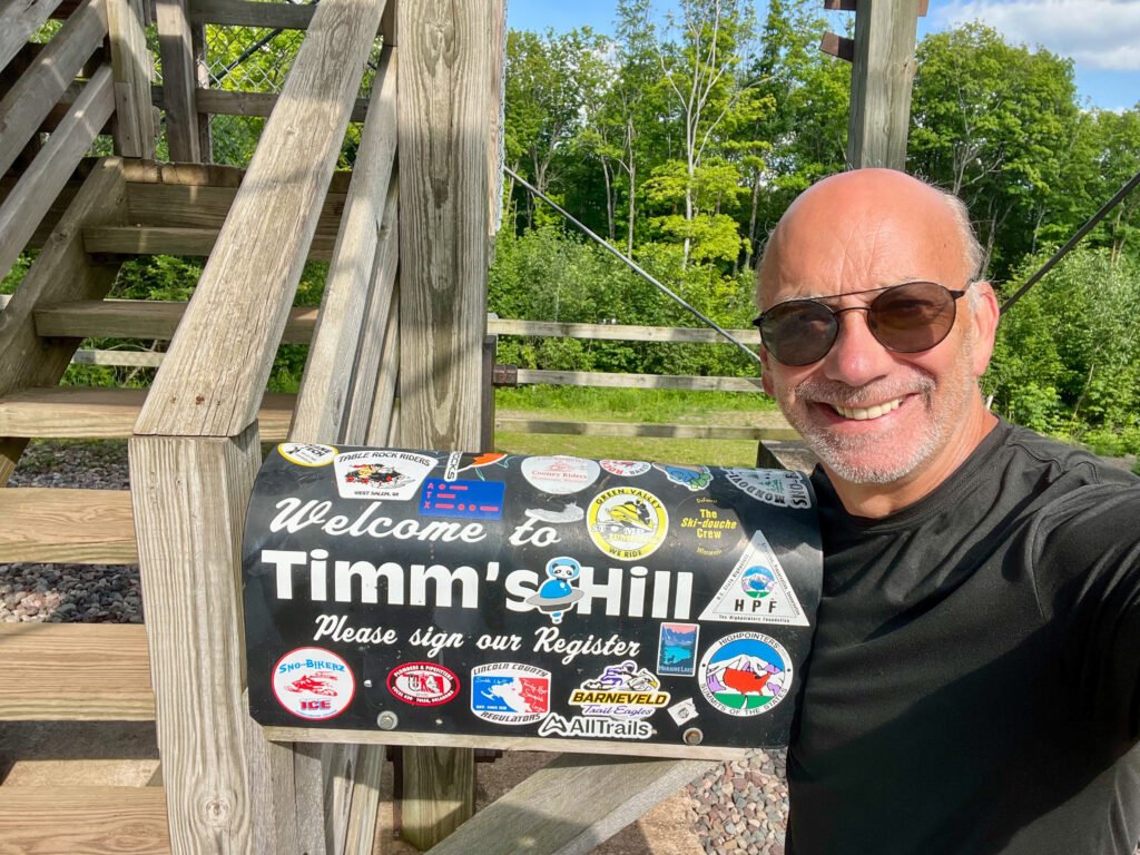
The geomarker sits on a two-foot concrete monolith tucked under the fire tower. It’s easy to miss if you’re not looking carefully. Of course, I signed the register before climbing anything. Priorities.
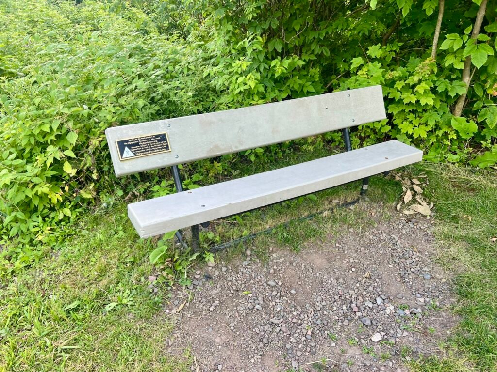
Photos: The Highpointers Foundation Bench and Mailbox

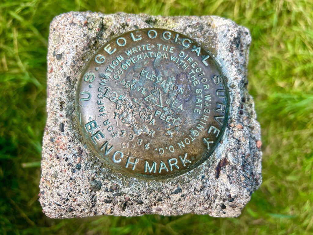
Photos: The Concrete Monolith with the Geomarker under the Fire Tower | The High Point Geomarker
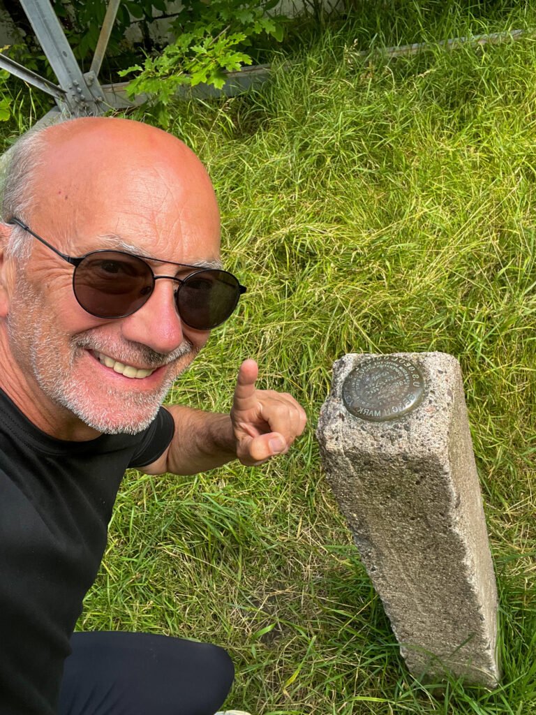
Photos: Summit Selfie!
Then came the observation tower.
Despite my love-hate relationship with heights, I climbed. Slowly. Deliberately. Holding on — but confident. The reward was worth it. Rolling hills stretched endlessly. Lush forests filled the horizon. Lakes shimmered in the distance. It was one of those quiet Midwest moments that sneaks up on you.
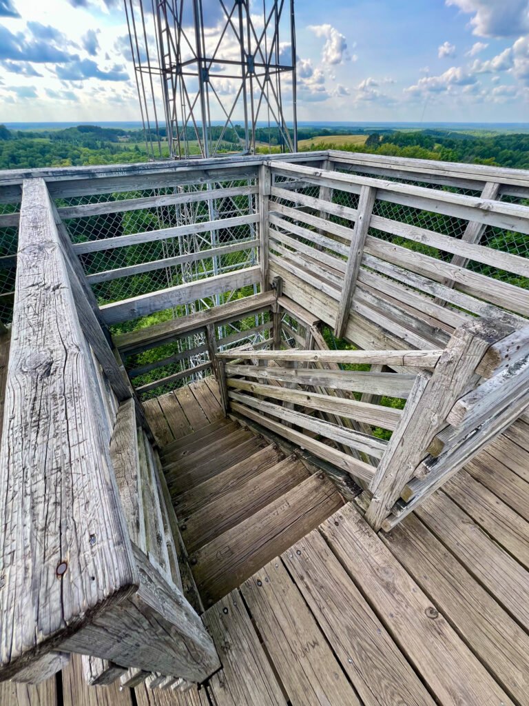
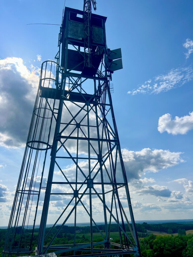
Photos: The Stairs – Solid for Climbing | The Fire Tower Still Looms Above the Observation Tower
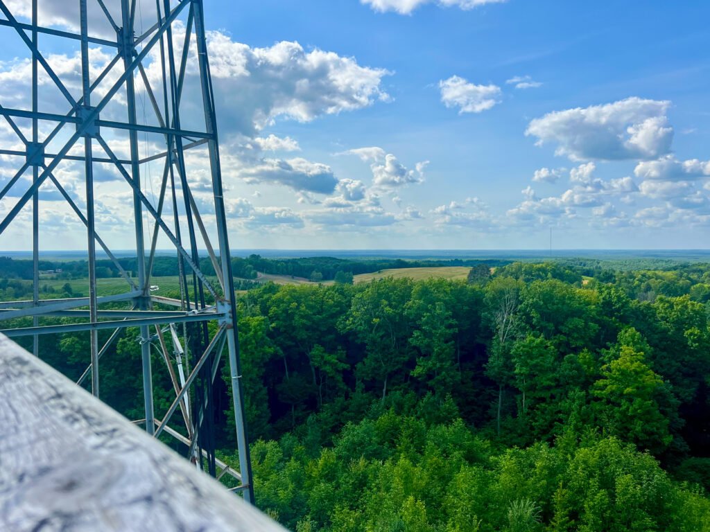
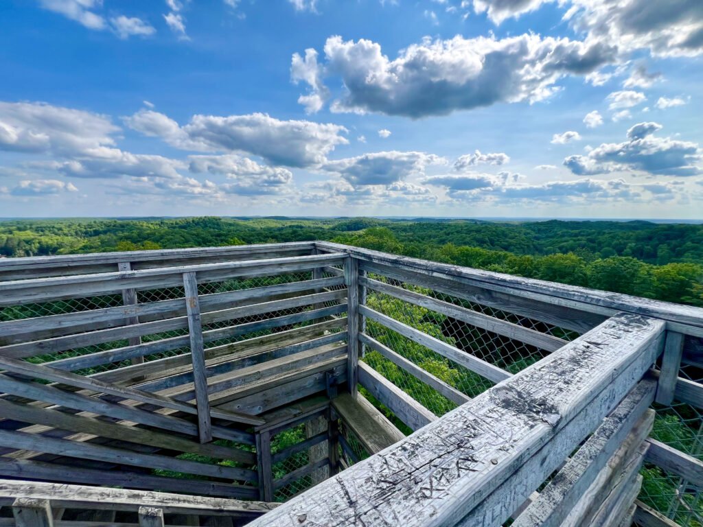
Photos: A Few of the Stunning Views from the Top!
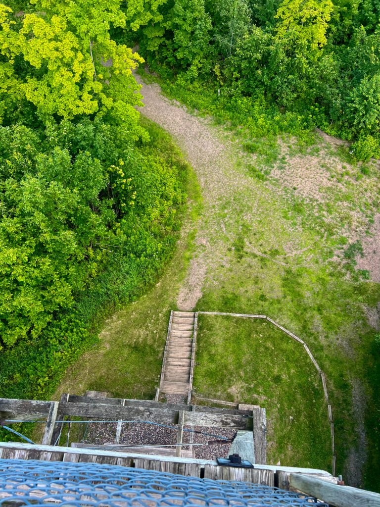

Photos: The View Looking Down | Holding on for Dear Life, lol (I was actually pretty good on this tower)
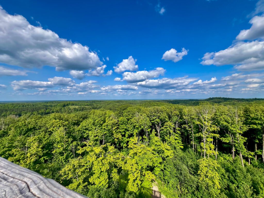
Photo: The Reward for Reaching the Top! Totally Worth It!
Meanwhile, I even helped a friendly couple locate the geomarker. High-point guide services, apparently, come free with admission.
After about thirty minutes of selfies, register signing, and soaking in the views, I made my way back to the car. A quick restroom stop, and I was back on the road.
Onward to New Heights
With summit #30 complete, I steered north toward L’Anse, Michigan — home base for my next goal: Mount Arvon, the highest point in the state. (You can read about that adventure here: Mount Arvon | Michigan (#31).)
Three more hours of driving lay ahead. Add in a time zone change, and it truly was a full-circle kind of day. After all, it started with a 7:45 AM flight out of Chicago.
Timms Hill may not boast massive elevation. However, it delivers exactly what a state high point should: accessibility, tradition, and peaceful views. Whether you’re a seasoned highpointer or simply looking for a quiet escape in northern Wisconsin, this one is worth the stop.
Thirty down. The journey continues.
Catch you on the summit!
Date of Visit: 19 July 2024
Discover more from love cook adventure
Subscribe to get the latest posts sent to your email.
2 Pingbacks