Minnesota’s Majestic Summit
Nestled in the northeastern corner of Minnesota, Eagle Mountain may not look as dramatic as some of the country’s towering giants. Still, it is absolutely Minnesota’s crown jewel. At 2,301 feet, Eagle Mountain ranks 37th among U.S. state high points, and this hike marked my 32nd state high point. While it doesn’t scream “epic” at first glance, it quietly calls to outdoor lovers, promising a day filled with solitude, scenery, and a little bit of adventure.
Bear Spray or Bare Confidence?
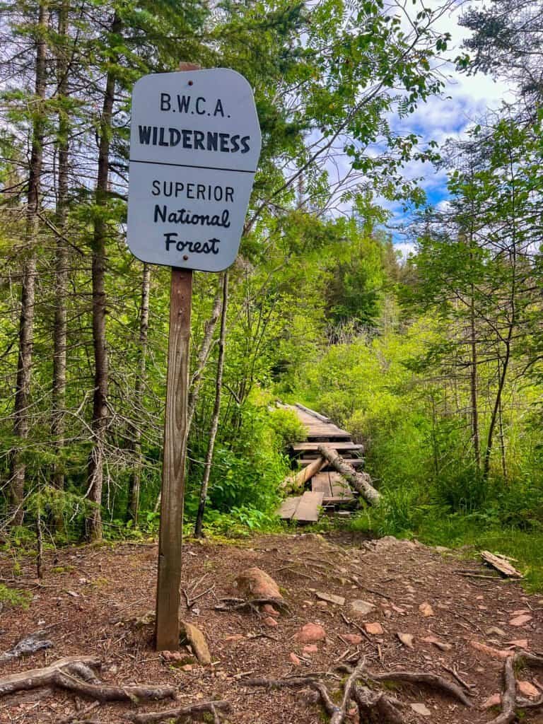
Before we get to the summit, let me set the stage for this Eagle Mountain adventure. Picture a remote hike deep in the Boundary Waters Canoe Area Wilderness (BWCA)—a million acres of rugged boreal forest where nature very much runs the show. Naturally, the first thing on my mind was protection.
So, I stopped at the Bay Trip Licensing & Outfitters Store in Silver Bay to ask about bear spray. After a quick conversation, I decided to skip it, trusting both my experience and the relatively low likelihood of a bear encounter. With my NOLS Wilderness First Aid certification, backcountry navigation skills, and a healthy respect for the wild, I felt ready to take on Minnesota’s highest natural point.
That said, the real twist of irony wouldn’t show up until the end of the hike—courtesy of Carlton. Stay tuned.
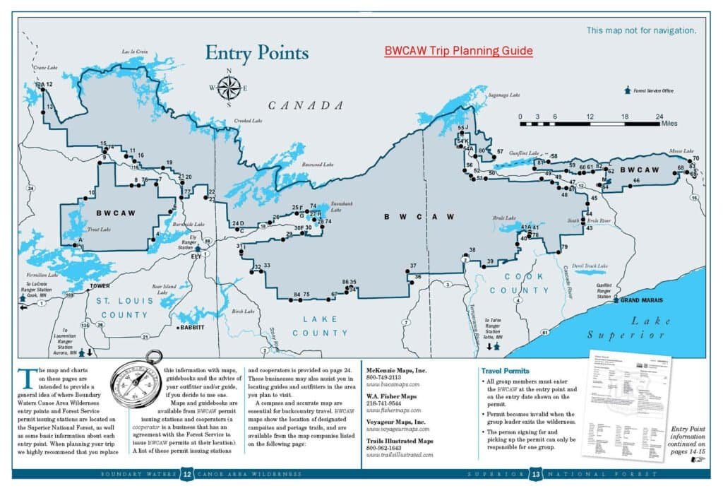
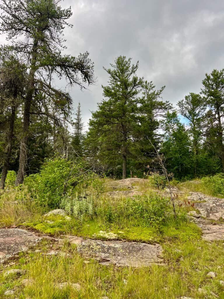
Photo: The Expansive Boundary Waters Canoe Area (BWCA)
Permit, Please!
Before hitting the trail, I made a quick stop at the Tofte Ranger District Station to grab a day-use permit. The process was simple: no fee, no quota, and no hassle. The ranger also handed me a map, which I highly recommend. Even though this isn’t Everest, it’s still helpful to know where you’re going.
Note: You can also fill out a permit at the trailhead, but be sure to list Entry Point #79.
From there, I drove along MN-61 before turning onto Caribou Trail. Soon enough, I found myself on a dirt road leading straight to the Eagle Mountain trailhead. Only one other car was parked there—a young family with a toddler preparing for the hike.
Watching them, I couldn’t help but wonder how they planned to deal with the bugs. The mosquitoes were already out in full force. I kept a can of bug spray in my side pocket and reapplied it frequently on the climb—a move I strongly recommend unless you enjoy being a mosquito buffet.
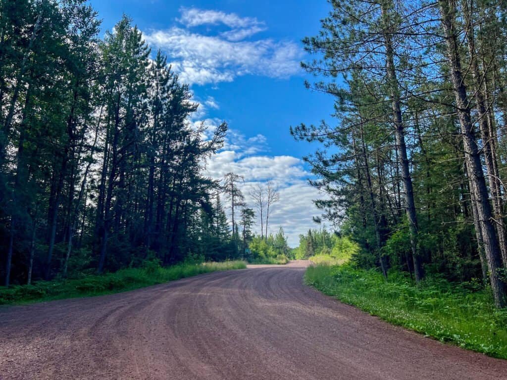
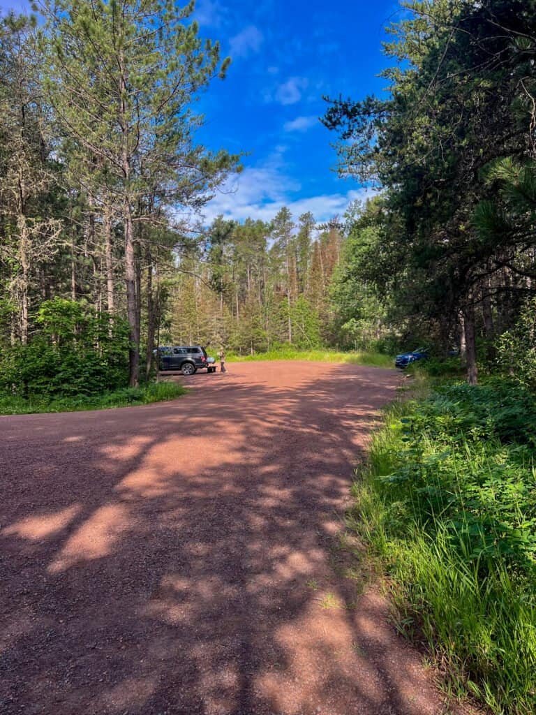
Photos: The Road to Adventure | Trailhead Parking Lot
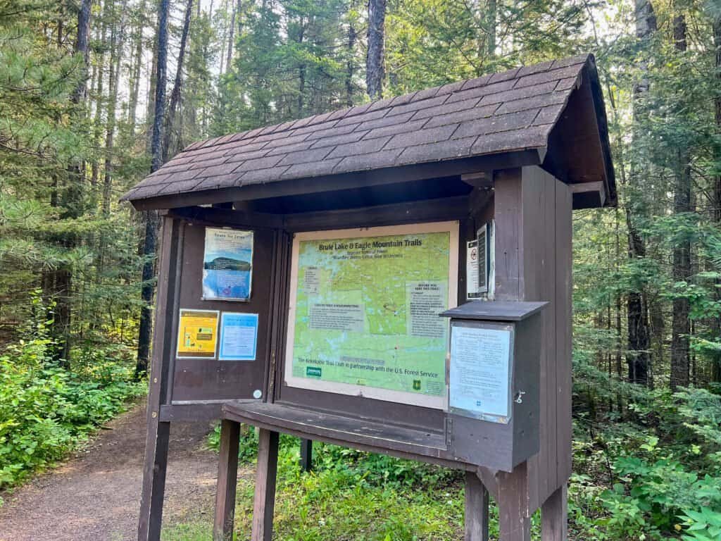
Photos: Trail Info and Permit Box | Trailhead Start
Hitting the Trail: Balancing Acts and Bear Scat
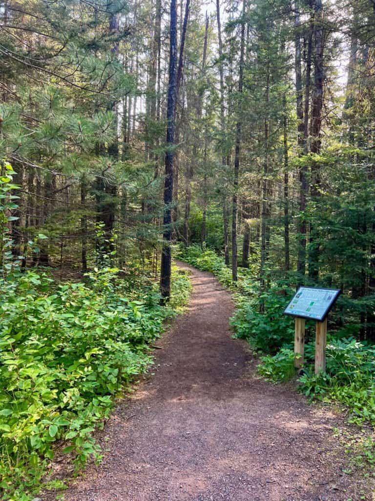
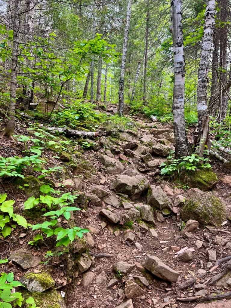
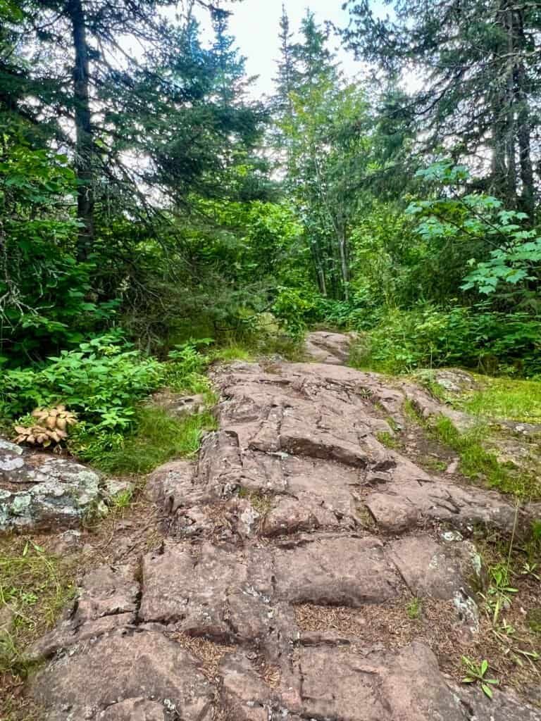
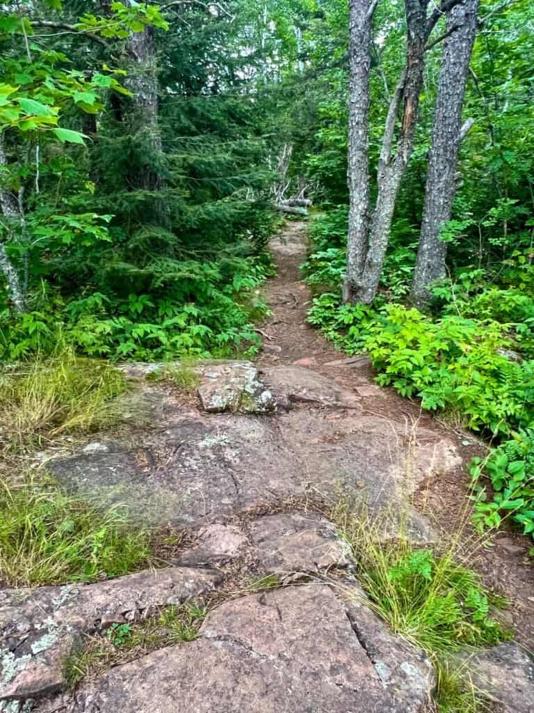
The hike begins with a mostly flat 2.5-mile stretch through a dense, beautiful forest. There are a few gentle ups and downs, but nothing major early on. While the trail isn’t perfectly marked, it’s easy enough to follow. Along the way, a series of boardwalks had me feeling like Simone Biles on a balance beam.
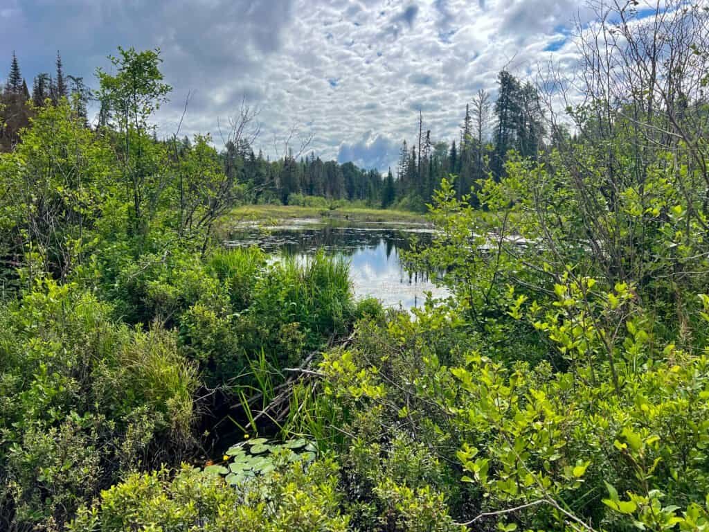
Eventually, the first major landmark appears: Whale Lake. It’s a peaceful, scenic spot where I paused, hoping for a moose sighting. No luck—but the view was still a solid consolation prize.
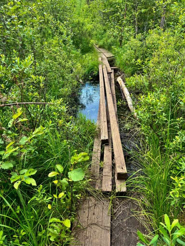
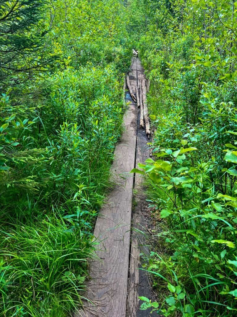
Photos: Channeling My Inner Simone Biles – Tackling the Trail’s
Balance Beams
Photos: Entering the Boundary Waters Canoe Area |
A Perfect Spot to see a Moose, or Not
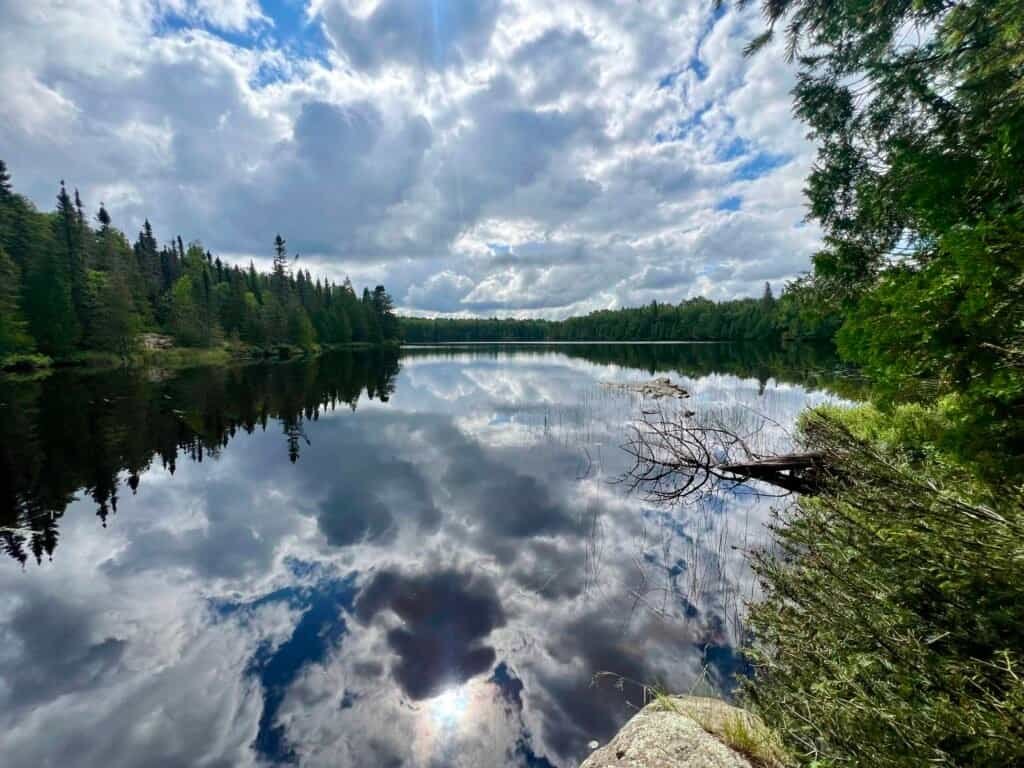
Photo: Whale Lake
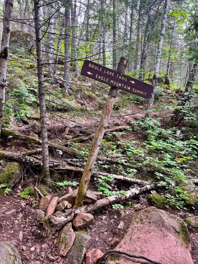
Just past Whale Lake, the trail splits—left toward Eagle Mountain and straight ahead to Brule Lake. This is where things get more interesting. The climb begins, and so do the reminders that you’re very much in bear country.
Fresh bear scat on the trail made me briefly reconsider my earlier bear-spray decision. Still, I pressed on, staying alert as I moved uphill. Around mile 3.1, the forest finally opens up to your first real view—and it’s absolutely worth the effort.
Photos: The Trail Junction | Kicking Off the Climb

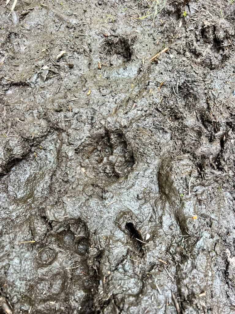
Photos: Scat and Tracks
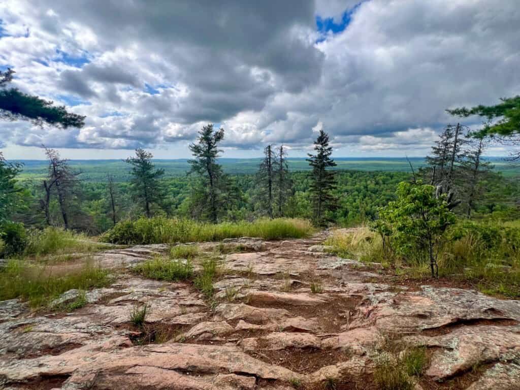
Photo: The First View at Mile 3.1
The Summit and Views Worth the Sweat
(and Maybe a Few Mosquito Bites)
From that first overlook, it’s only a short jaunt to the Eagle Mountain Overlook. While the views here are stunning, this spot isn’t actually the summit. The true high point sits just a bit higher—and without views.
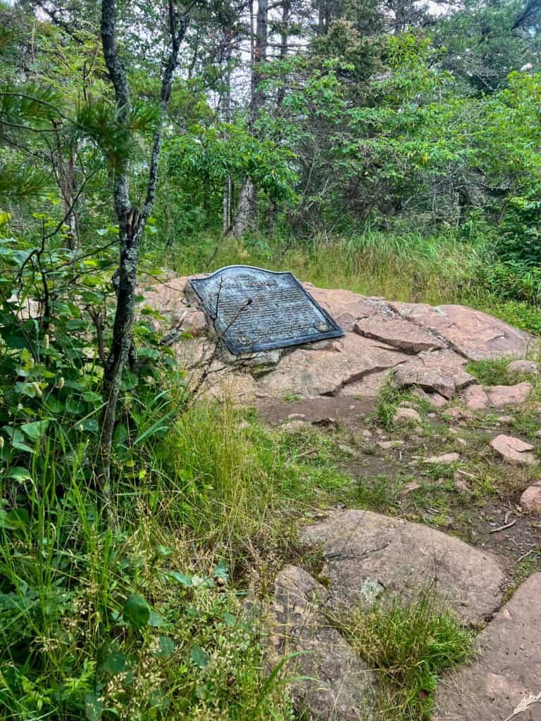
At this point, I was so focused on soaking in the scenery that I wasn’t paying close attention to the trail, which becomes less obvious near the top. Once you reach a clearing, make a right toward a large boulder topped with a cairn. That’s your cue.
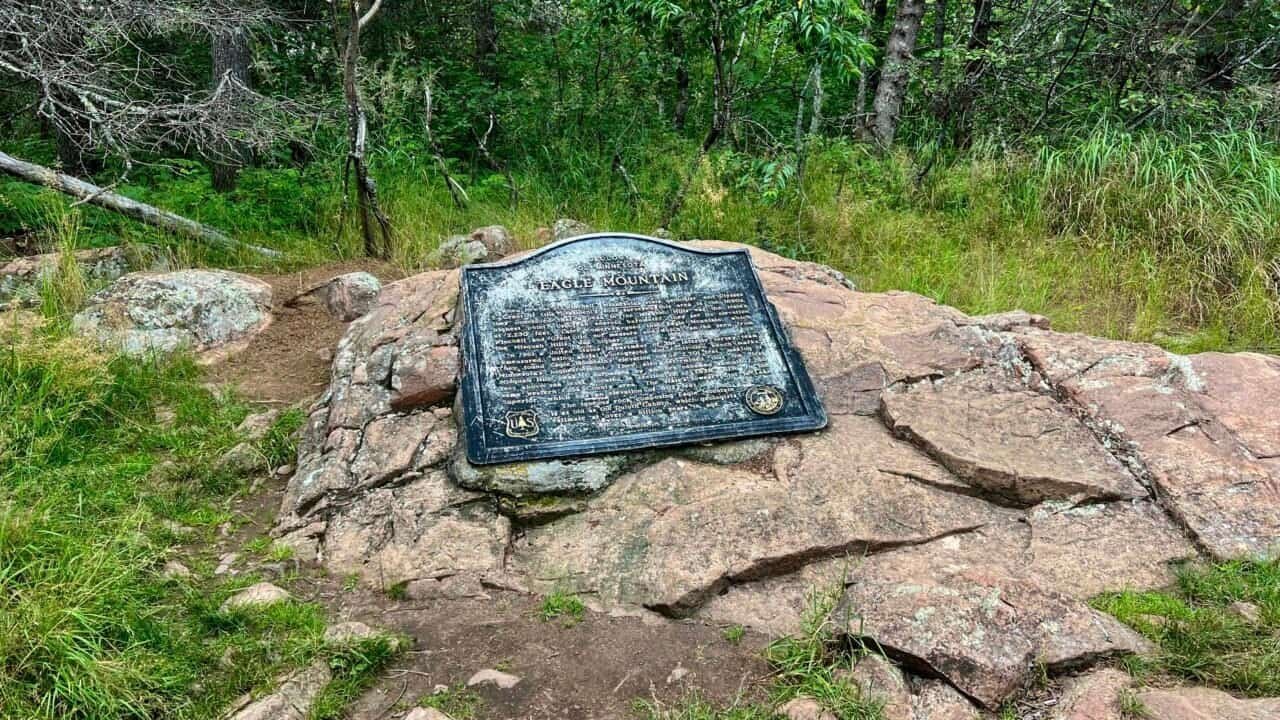
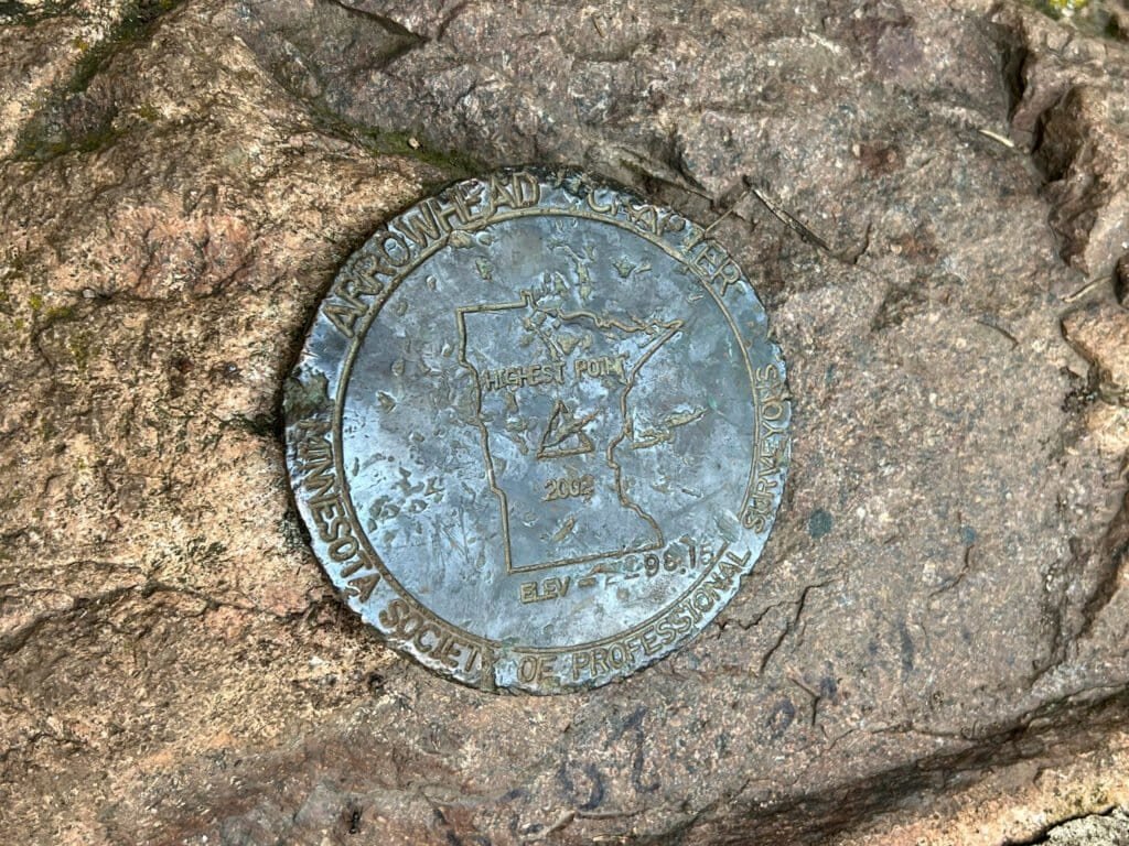
Follow the faint path into the woods and you’ll find the real summit, marked by a plaque explaining Minnesota’s geology. Just behind it sits the official geomarker, confirming you’ve reached Minnesota’s highest natural point. Summit selfie secured, I didn’t linger long—the mosquitoes had other plans.
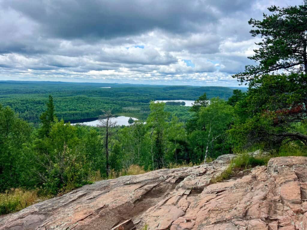
Photo: Eagle Mountain Overlook
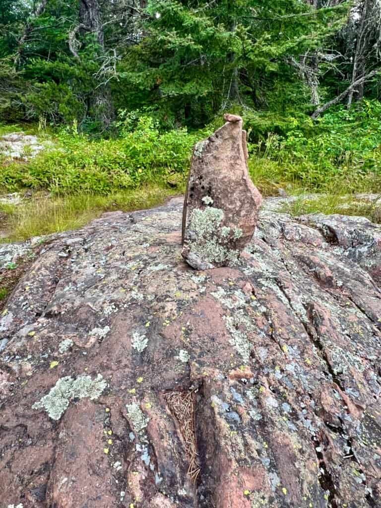
Photos: Summit Ahead – Cairn Under the Big Pine Tree | Boulder & Cairn Marker
Photos: Heading Up to the Summit | Trail into the Woods |
Alas the Summit through the Trees
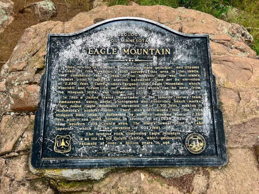
Photos: Summit Plaque – A Geology History Lesson |
Geomarker – Minnesota’s High Point!
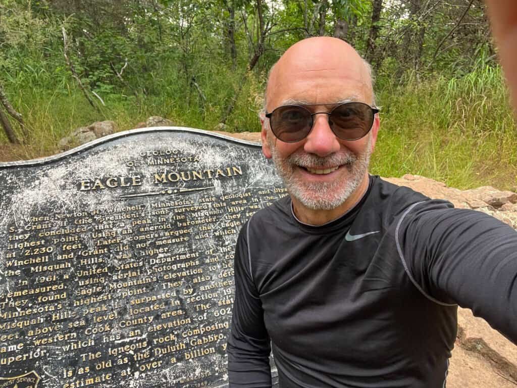
Photo: Summit Selfie!
Craig the Duluth Dude: Local Expert
I headed back to the overlook, hoping the breeze would help keep the mosquitoes away while I grabbed a quick snack. That’s when I met Craig, a fellow hiker who had started shortly after I did. A Duluth local, Craig turned out to be a fountain of regional knowledge.
As we chatted, he pointed out Shrike Lake in the foreground and Zoo Lake just behind it. Soon after, the family with the toddler arrived, followed by a steady stream of other hikers. With crowds growing and conversation wrapped up, I geared up for the descent—local tips and good vibes in hand.
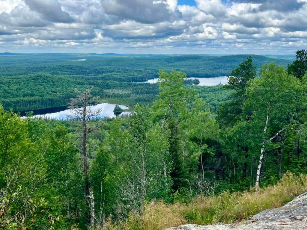
Photo: Parting Shot: Shrike Lake in the foreground and
Zoo Lake just behind it
Carlton Banks and the Country Club Crew
The descent went quickly. Part of that was my inability to resist trail running (as much as one can in hiking boots), and part of it was the motivation to stay ahead of the mosquitoes. Along the way, I passed a few more hikers heading up.
Back at the trailhead, I spotted a family that looked more prepared for a country club than a wilderness hike. Imagine a dad who could’ve passed for Carlton Banks from The Fresh Prince of Bel-Air—no backpacks, no trekking poles, just a couple of water bottles.
Thankfully, a pair of seasoned hikers in a camper van stepped in with some bug spray. After giving the family a quick rundown on the permit system and wishing them luck, I headed off toward Grand Marais—half amused and half genuinely curious about how their adventure would unfold.
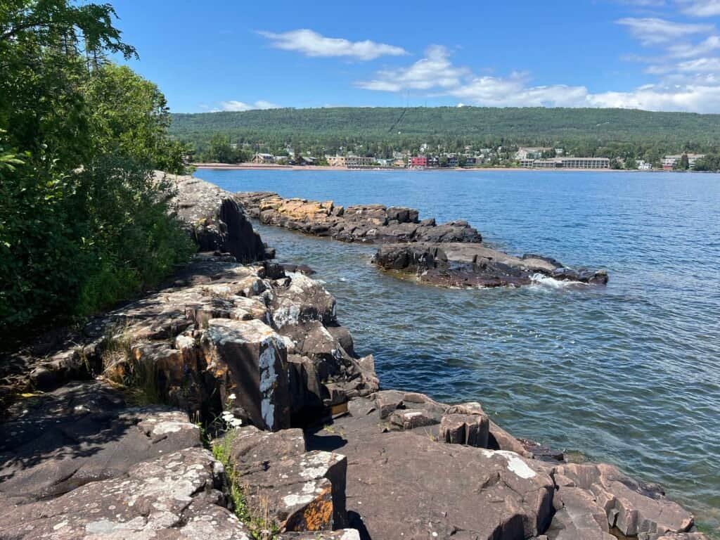
Grand Marais: The Perfect Post-Hike Chill Spot
Craig’s recommendation turned out to be spot-on. Grand Marais is the kind of lakeside town that invites you to slow down and stay awhile. I parked near World’s Best Donuts (still untested—jury’s out) and started exploring.
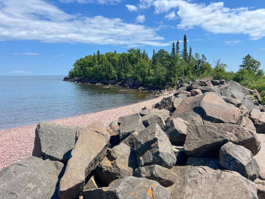
First stop was Artist Point, where Lake Superior stretches endlessly in every direction. From there, a short walk brought me to the Grand Marais Lighthouse, a charming reminder of the area’s maritime past. I wrapped up the day at Voyageur Brewing Company, enjoying a locally brewed beer on their rooftop while chatting with a bartender who came for a summer job—and never left.
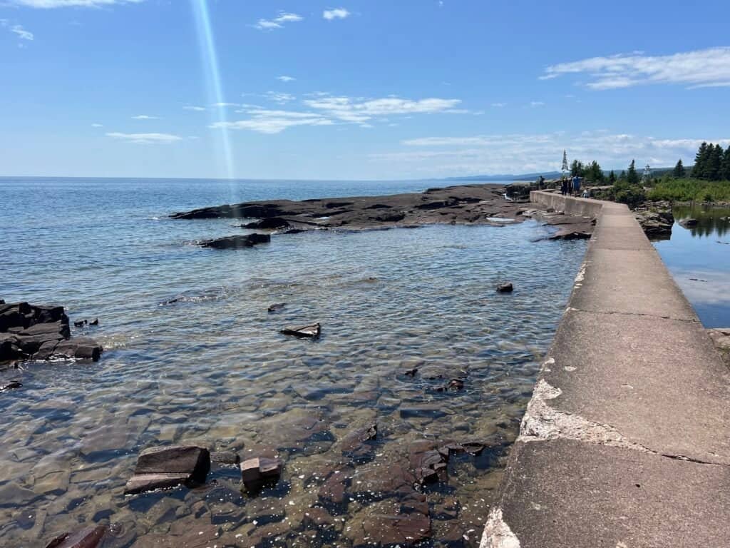
Photos: Heading out to Artist Point | Looking out on Lake Superior
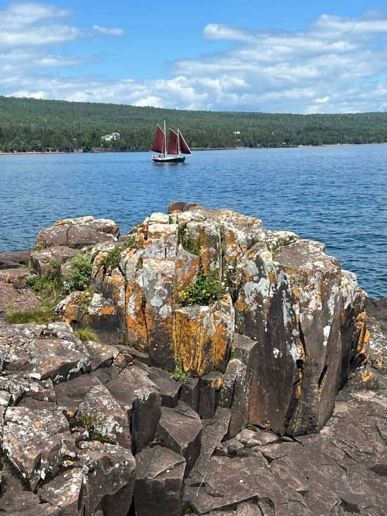
Photos: Views from Artist Point, including a glance back at Grand Marais
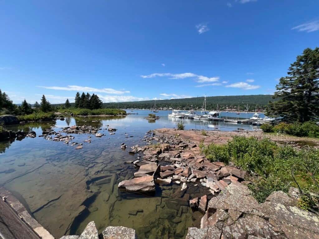
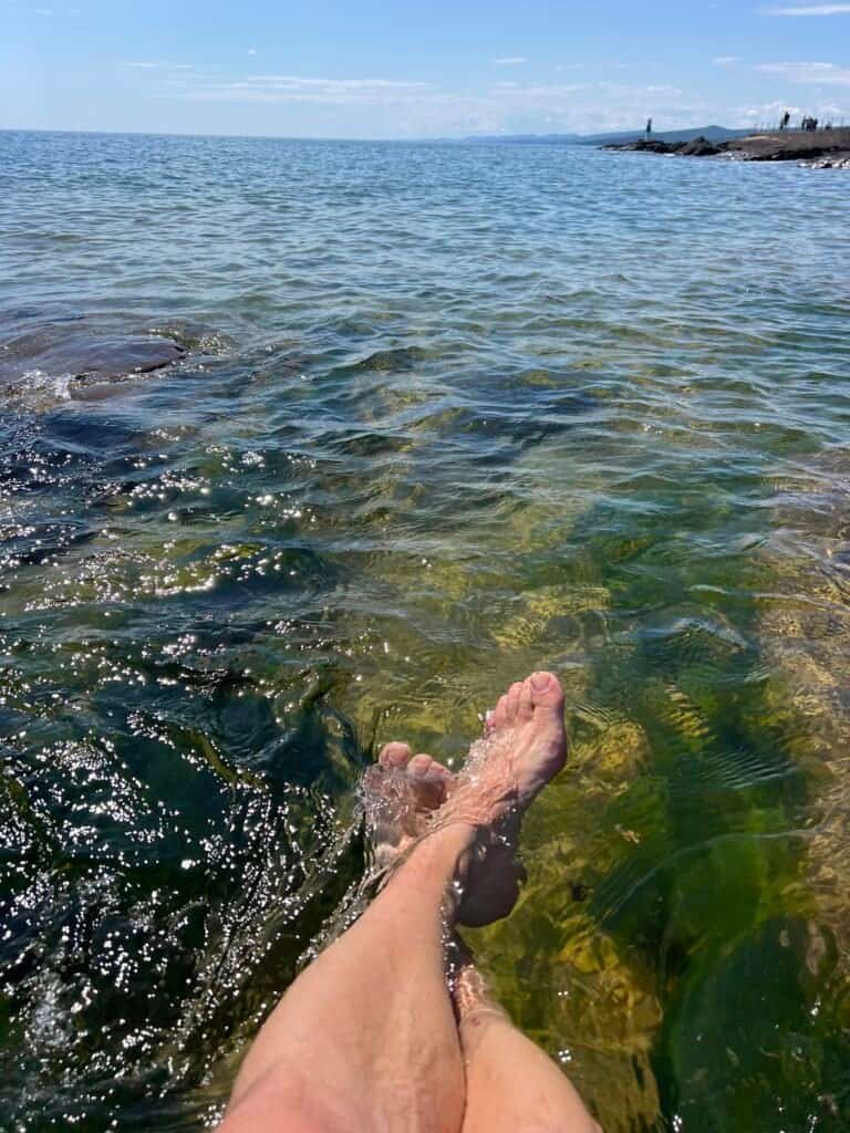
Photos: The Harbor | Giving my ‘dogs’ a well-deserved cool-down
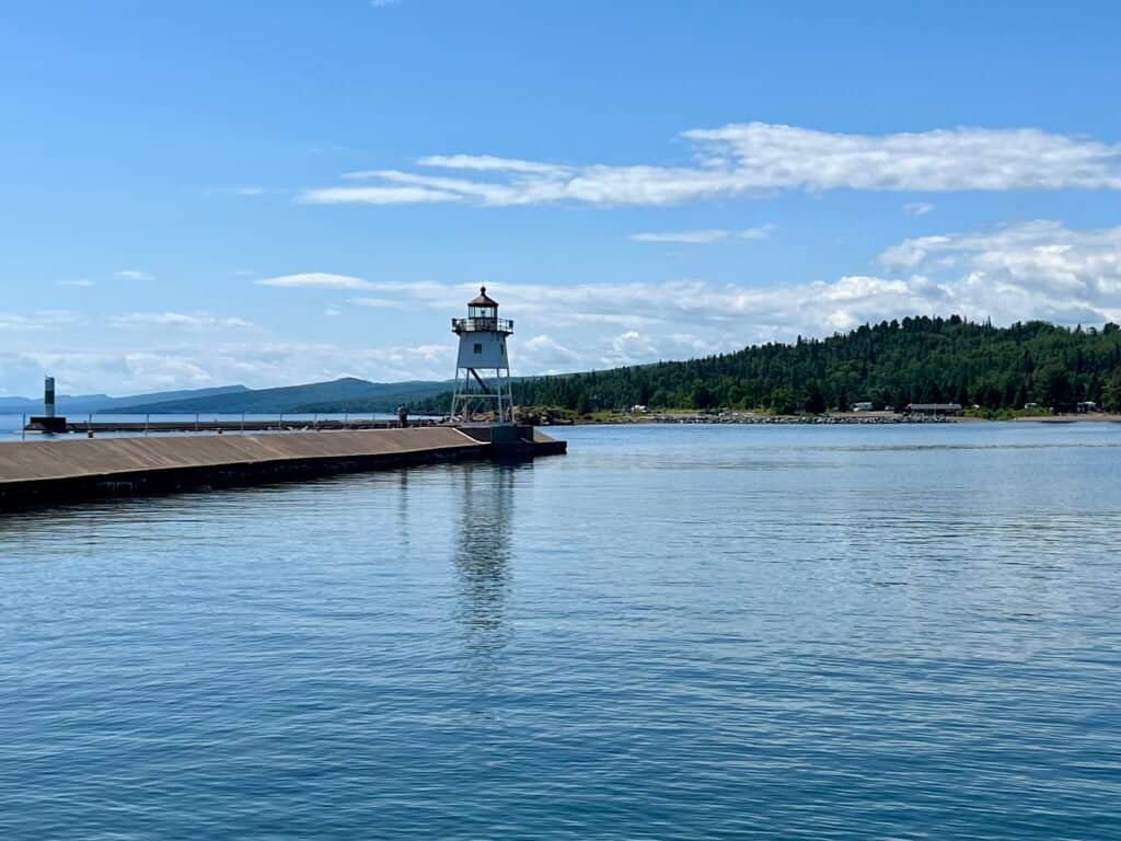
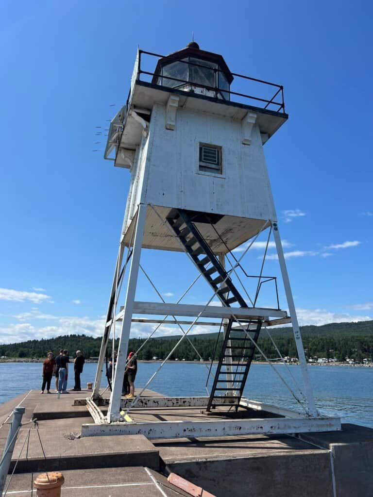
Photos: Grand Marais Lighthouse
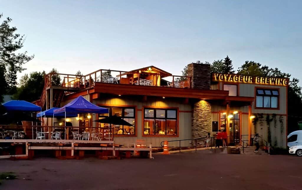
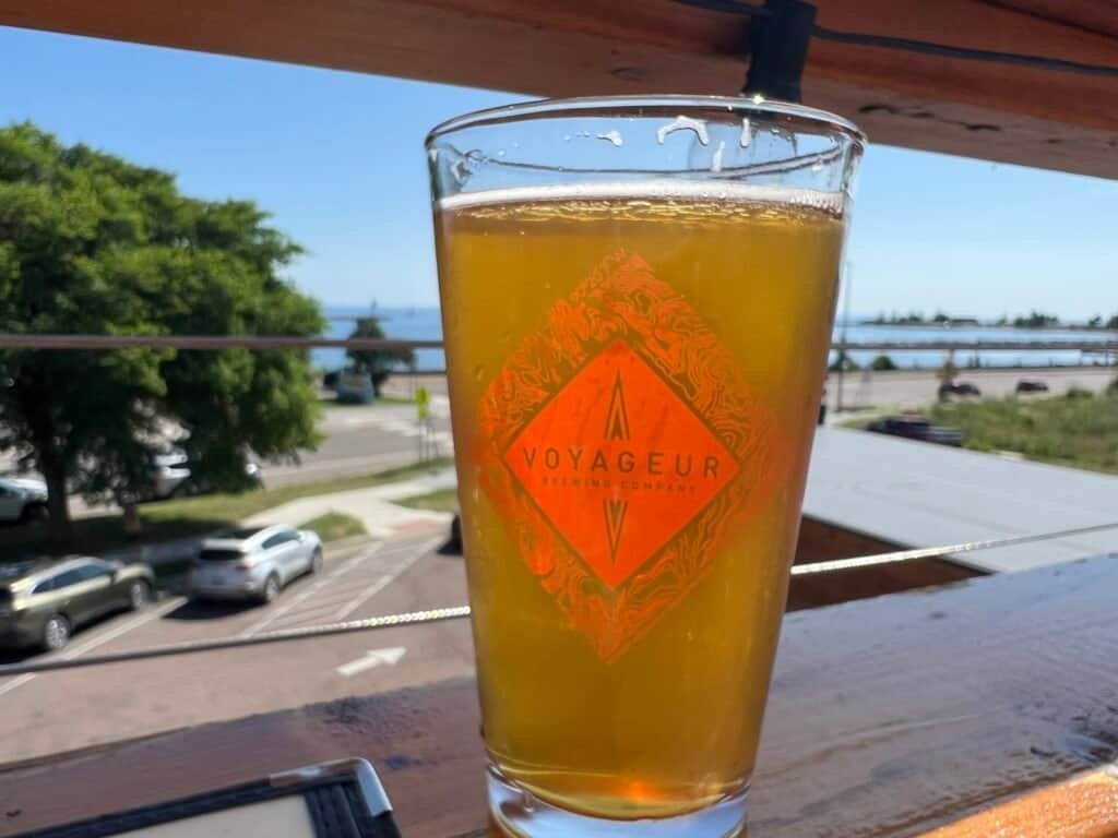
Photos: Voyageur Brewing – the Perfect End to a Great Day!
Run, Don’t Walk (But Maybe Walk First)
Eagle Mountain may not rival the Rockies in elevation, but it more than makes up for it in character. Between the quiet forest trails, rewarding views, and memorable encounters (looking at you, Craig—and Carlton), this hike earns its place in the books.
So lace up your boots, pack the bug spray, and maybe even bring the bear spray after all. Next up: Tettegouche State Park – Part 2.
Catch you on the summit!
Date of Summit: 24 July 2024
Pro Tips for Hiking Eagle Mountain
- Grab a Permit and Map: Before hitting the trail, swing by the Tofte Ranger District Station for your free day-use permit and a map. It’s quick, and while the trail isn’t Everest, it helps to know where you’re going. You can also self-issue at the trailhead—just be sure to note Entry Point #79.
- Bear Spray or Not?: Bear encounters are unlikely, but preparation is personal. If carrying bear spray gives you peace of mind, it’s a reasonable precaution. Otherwise, trust your wilderness skills and stay aware of your surroundings.
- Be Prepared for Mosquitoes: Mosquitoes can be fierce in summer. Pack bug spray and keep it handy. I found it helpful to reapply as I hiked—unless you enjoy becoming a mosquito buffet.
- The True Summit: Trail markings near the summit can be tricky. From the first overlook, head into the woods. When you reach a clearing, turn right toward the large boulder with a cairn on top. Follow the faint path to the true summit, marked by a plaque and official geomarker. It’s worth the extra effort.
- Post-Hike Chill in Grand Marais: After your hike, head to Grand Marais to wind down. This lakeside town has great spots like Artist Point and Voyageur Brewing Company—perfect for relaxing and savoring the day.
Discover more from love cook adventure
Subscribe to get the latest posts sent to your email.
2 Pingbacks