Finally Made It to Big Bear Lake
Sometimes, you don’t need to go far to feel like you’ve gone somewhere special. After living in Southern California off and on for years, I finally made it to Big Bear Lake — one of those places that had somehow stayed just out of reach.
On my way back to San Diego from Las Vegas, I took a spontaneous detour to this iconic mountain village tucked high in the San Bernardino Mountains. From June through September, Big Bear settles into its summer rhythm. Cool forest trails wind through the pines, a shimmering seven-mile lake anchors the town, and the village hums with a relaxed alpine energy.
I couldn’t help but wonder why it took me this long to finally say yes. It was a reminder that some of the best adventures really are right in your backyard — you just have to start exploring.

Photo: Vintage Big Bear Postcard
Hostel Life
No, life isn’t hostel — but I did stay at the Big Bear Hostel on Knickerbocker Road, just a block from the village and a short walk from the lake. Honestly, the location couldn’t have been better.
Right away, John — one of the hosts — set the tone. He gave me a full tour when I arrived, and before long we were talking trails, elevation, and local favorites. His hiking recommendations? Spot on.
Now, I know hostels aren’t everyone’s cup of tea. Still, for what I needed, this one was perfect. I was just looking for a place to crash, and the price for a private room — $38.28 all in — was hard to beat. The room was cozy, the mountain air was cool at night, and I didn’t miss air conditioning at all. The bathroom was simple — toilet and shower — but it did exactly what it needed to do.
What really stood out, though, were the outdoor spaces. I especially loved the table where I could sit, write postcards, and take in that crisp mountain air. If you’re staying here, a quick tip: bring your own pillow if you’re driving, and don’t forget shampoo and conditioner. John provided soap and a towel, but if you’re particular, you’ll want your own.
All told, the Big Bear Hostel struck a great balance between comfort, convenience, and community.
Off for a Trail Run — Well, Sort Of…
Naturally, I mentioned to John that I was itching for a run. Without hesitation, he asked, “How far? And are trails okay?”
That was all the encouragement I needed.
His suggestion: head up Knickerbocker Road to Forest Ranger Road and 2N08. What I didn’t fully appreciate at the time was that running at 6,750 feet is a very different experience. I powered up to Forest Ranger Road, but the altitude quickly made itself known. Breathing got harder, legs got heavier, and reality set in.
So instead, I adapted. I shifted gears, ran along the main road, and still managed to knock out my 5K goal. And of course, that wasn’t the end of it.

Photo: South Shore Area Map at Forest Ranger Road
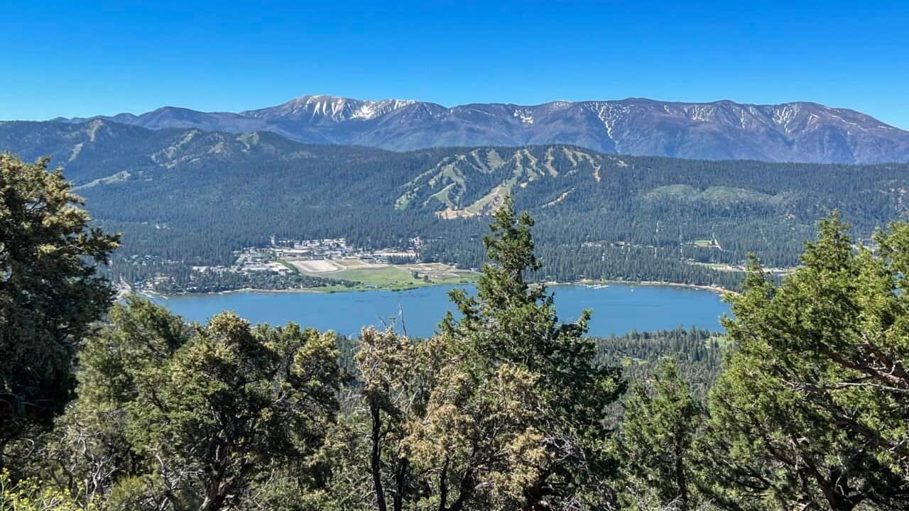
Determined to squeeze more out of the day, I hiked back up to 2N08 for a 2.5-mile trek. That decision paid off immediately. As I climbed above the trees, the views opened up in every direction. With a sense of accomplishment — and a camera roll filling up fast — I headed back to the hostel to regroup before heading into the village.

Photo: Big Bear Lake from 2N08
Big Bear Lake Village: Summer Nights
Once the sun dips, Big Bear Lake Village really comes alive. The streets fill with locals and visitors alike, live music drifts through the air, and the whole place hums with summer energy.
That evening, I wandered through the shops with one mission in mind: postcards. Yes, I’m still old school, and yes, I still love mailing them.
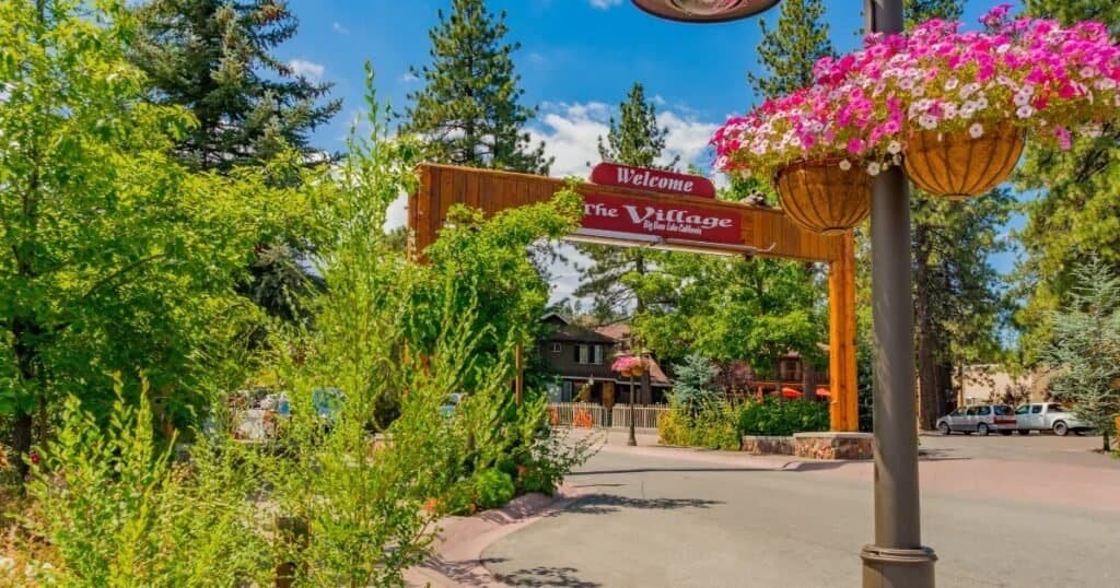
Photo: Big Bear Lake Village
After checking that box, I made my way to Barrel 33, a cozy wine bar I’d flagged ahead of time. It turned out to be a great call. The wine list is eclectic and global, and the menu leans toward small plates, charcuterie, salads, flatbreads, and sandwiches.
I went with the Pear & Brie Sandwich, an employee favorite. Think grilled cheese meets French brie, fig jam, and sliced pears, paired with a simple side salad. Flavor-wise, it delivered — though the bread struggled a bit under the weight of the fillings. The only real miss was the massive Styrofoam container for leftovers. I ditched it and wrapped the sandwich in a napkin instead — much better.
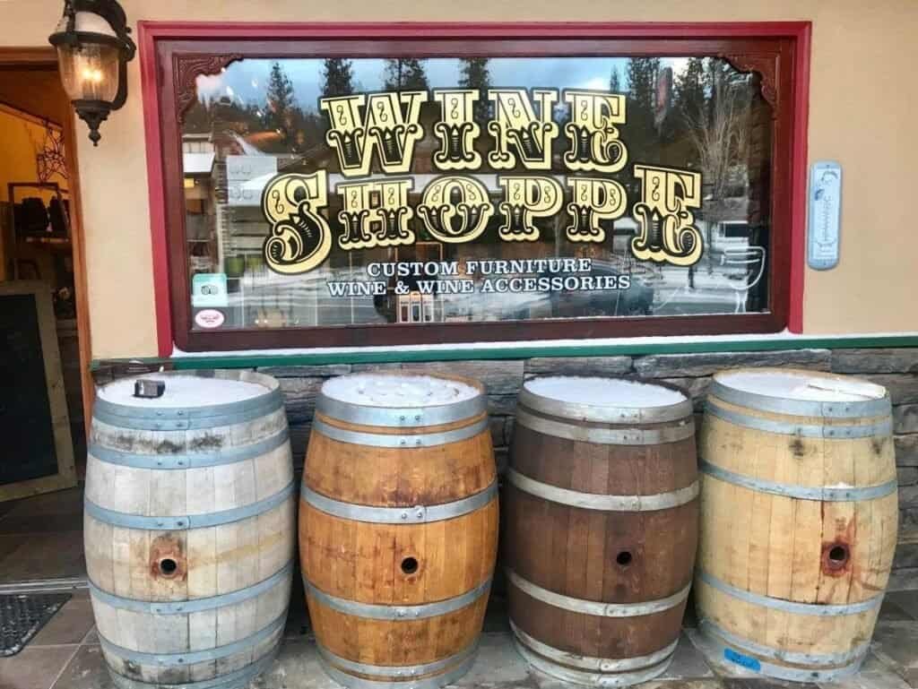
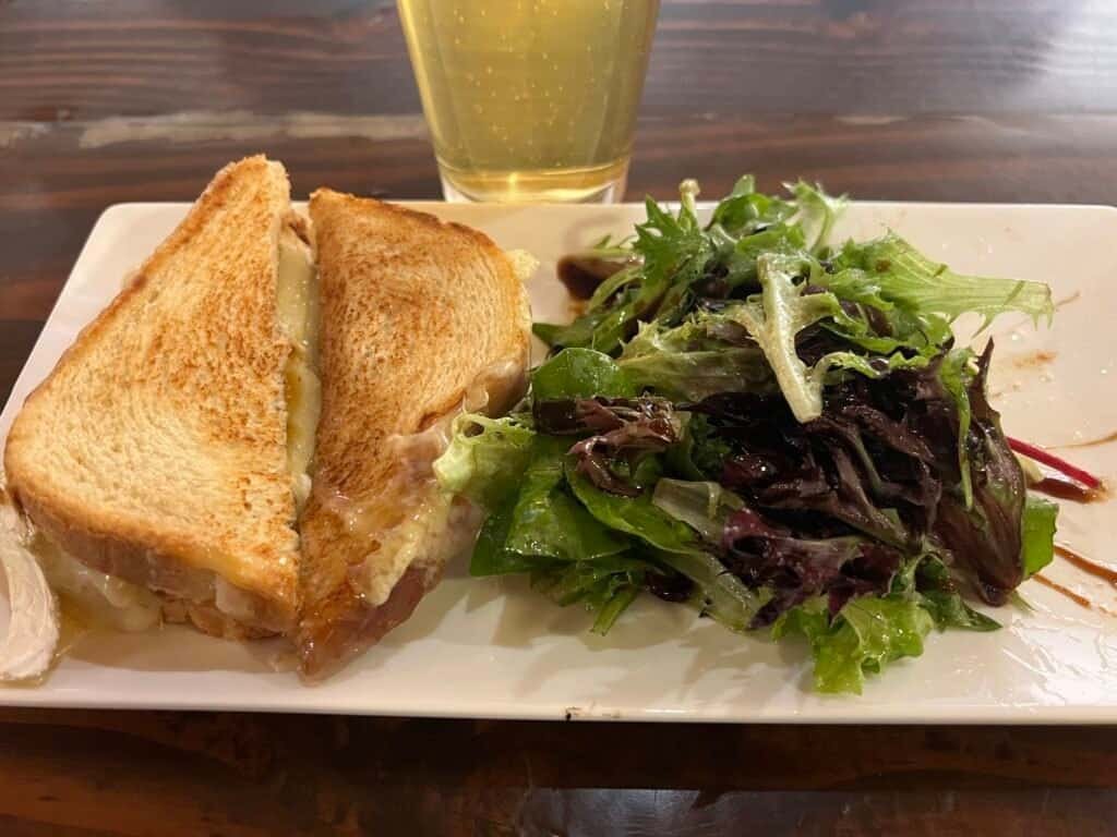
Photos: Barrel 33 (not my photo) | Pear & Brie Sandwich
Service was classic California casual. Friendly, laid-back, and unpretentious. No Michelin stars here — and honestly, that was part of the charm.
And of course, no summer night is complete without ice cream. Whether it’s a simple cone or something over-the-top, it’s the perfect way to end the evening.
About the San Bernardino National Forest
Set within the San Bernardino National Forest, Big Bear Lake is an outdoor playground in every season. This nearly 800,000-acre landscape stretches from pine-covered peaks to wide-open valleys, offering endless opportunities to hike, bike, camp, and explore.
Wildlife is abundant, the scenery constantly changes, and in winter the forest transforms into a snow-covered escape. Whether you’re chasing adventure or just looking to slow things down, this place delivers.
My Big Hike to Bertha Peak
From the hostel parking lot, John pointed across the lake and casually said, “That’s Bertha Peak.”
That was all it took.
Bertha Peak tops out at 8,201 feet and promises sweeping views over Big Bear Lake, the Mojave Desert, and distant mountain ranges. Sunday morning — Father’s Day, June 16th — I set out early.
Getting to the Trailhead
Before hitting the trail, I made a few quick stops: the post office to mail postcards, 7-Eleven for water for my favorite — IQMix Hydration Sticks in Blood Orange, and Starbucks for a much-needed coffee. From there, I crossed the Stanfield Cutoff, which offers some great lake views right from the roadside.
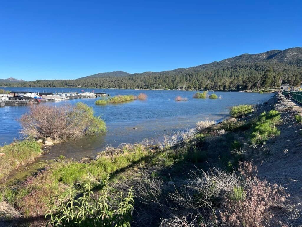
Photo: View from the Stanfield Cutoff
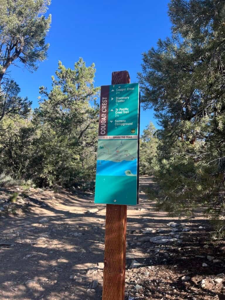
I arrived at the Cougar Crest Trailhead at 7:45 AM and was surprised to see just one other car. The area requires a fee, but my America the Beautiful pass had me covered. The quiet start promised a peaceful hike.
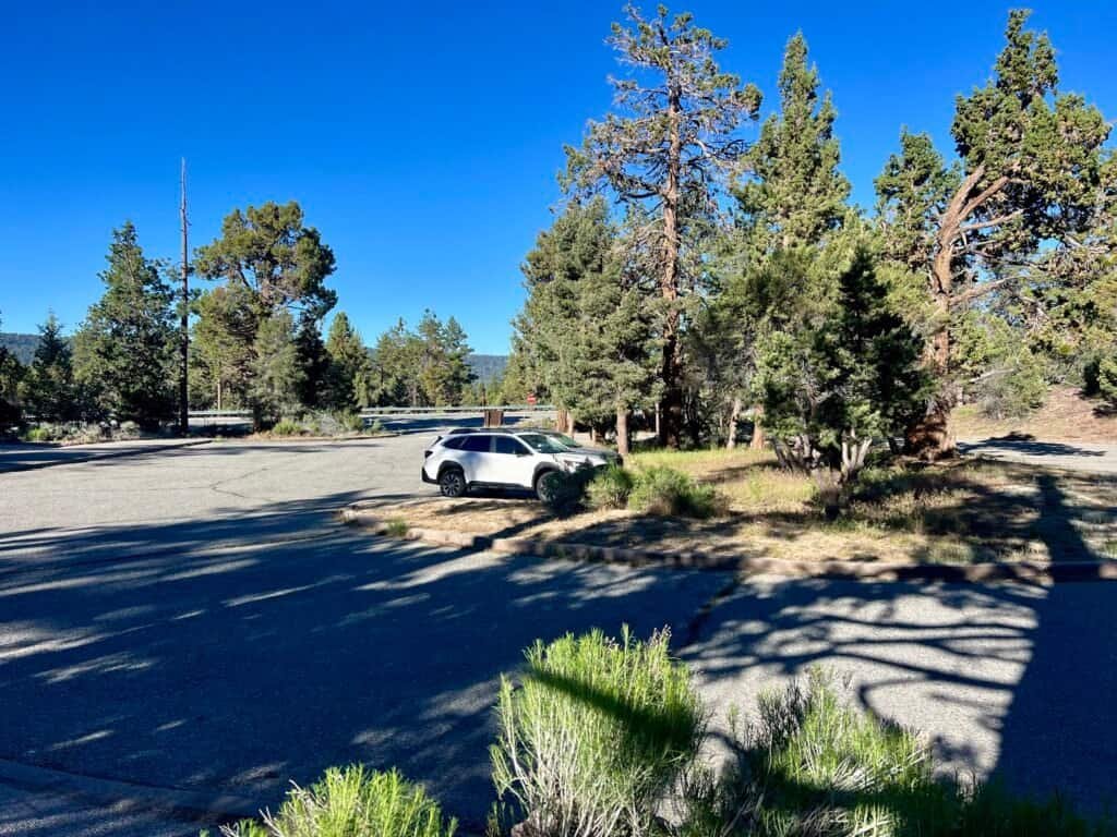
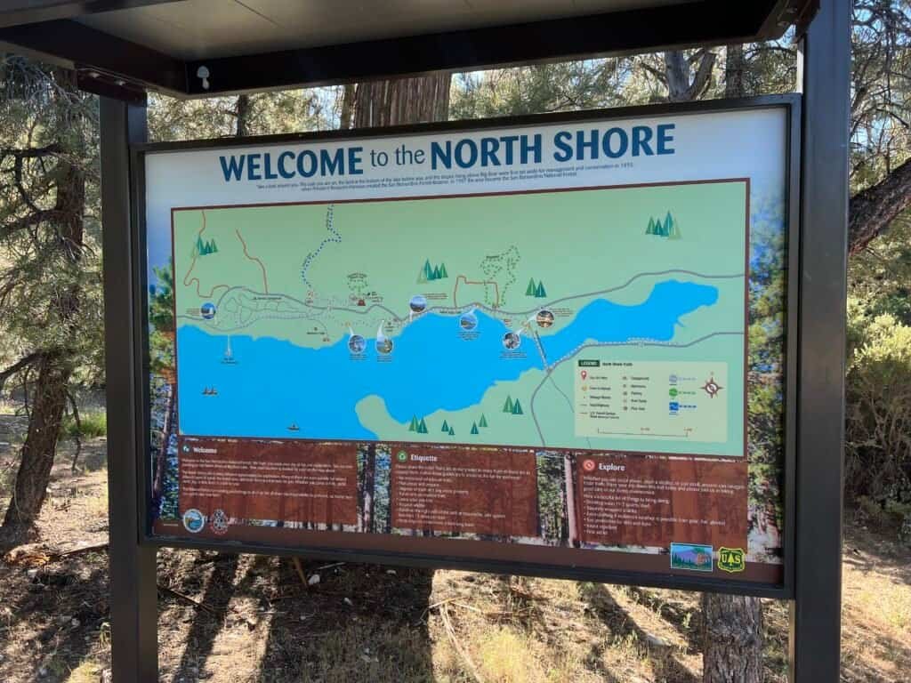
Photos: Cougar Crest Trailhead — Parking Lot and North Shore Map
The Climb Begins
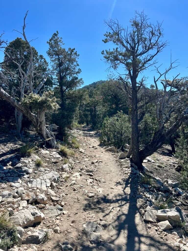
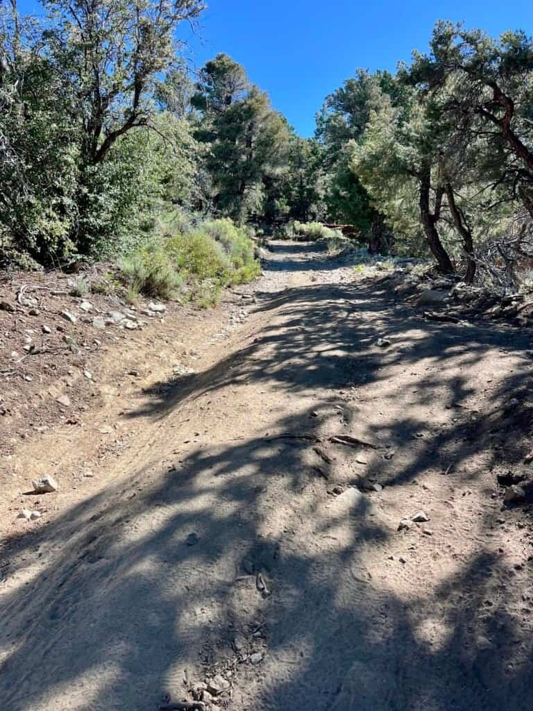
The trail begins with a gradual climb broken up by flatter sections. Still, I knew what lay ahead: 1,300+ feet of elevation gain over a 7.5-mile round trip. Early on, I passed one hiker heading down — likely the owner of that lone car.
Wildflowers lined the trail, flies buzzed lazily, and the morning light was perfect. I couldn’t believe more people weren’t out there.
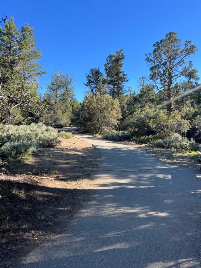
Photos: Initial Trail (paved toward the Discovery Center) | Trail Marker

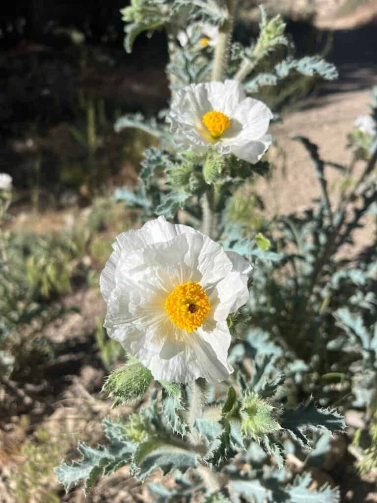

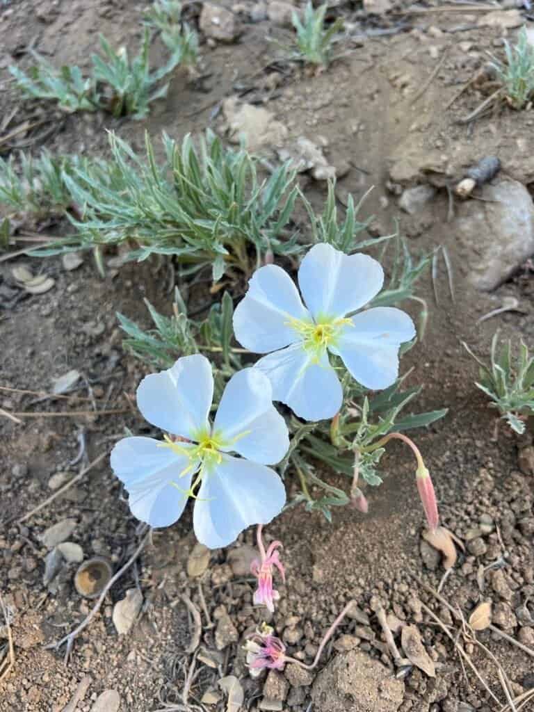
Photos: Wildflowers — Argemone munita (Prickly Poppy) | Flannelbush | California Evening Primrose | Penstemon centranthifolius (Scarlet Bulger)
About a mile in, I reached a bench — an ideal spot to catch my breath. From there, the views kept getting better. I stopped often, snapping photos at overlooks near the 2.01-mile mark and several benches beyond. Around 2.5 miles, the trail intersects with the Pacific Crest Trail, adding an extra sense of place to the hike.
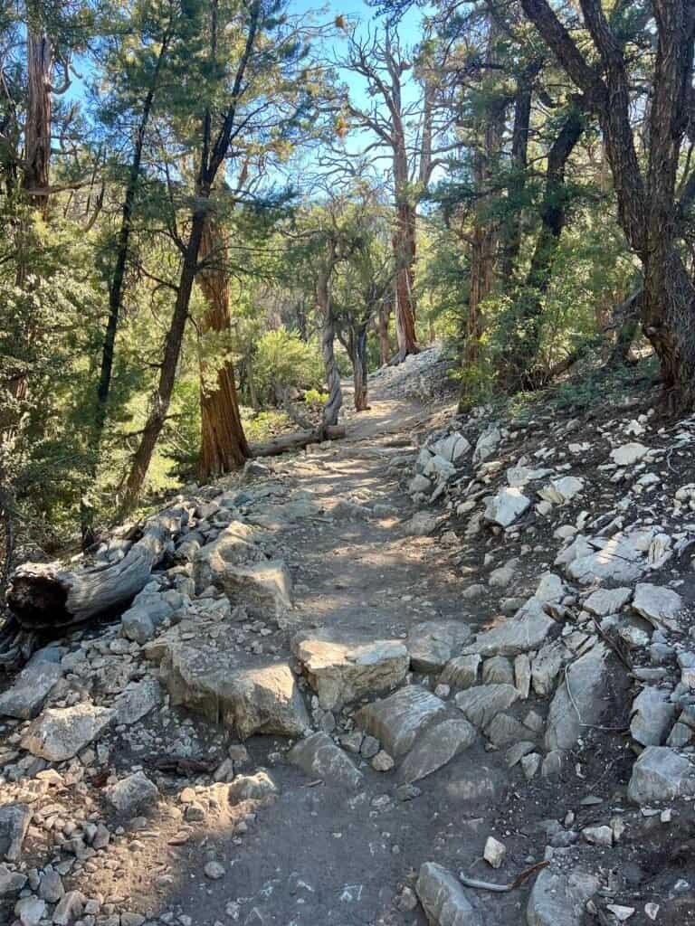
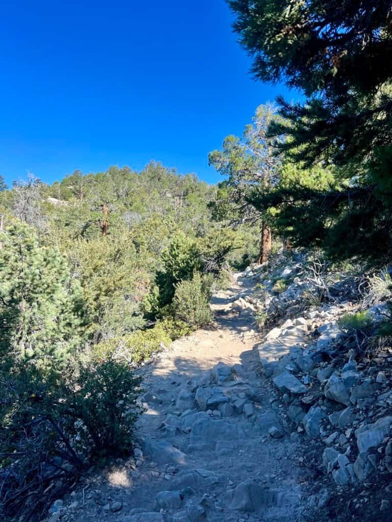
Photos: Long, gradual stretches of trail

Photo: Views improving with elevation
Photos: Bench with views | Sugarloaf Mountain in the distance

Photos: Pacific Crest Trail (PCT)
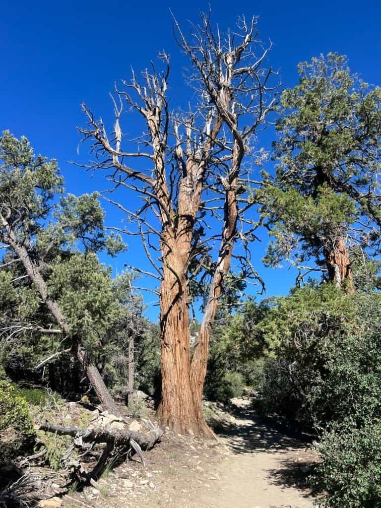

Photos: Western Bristlecone Pine
The Final Push to the Summit
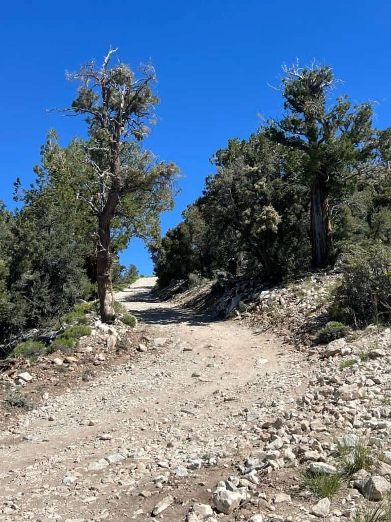
The final mile brought the hardest work. With about 500 feet of gain left, the trail steepened. At an intersection marked “Wrong Way,” I ignored the signs and headed right — straight up toward Bertha Peak.


Photos: Intersection with “Wrong Way” signs — PCT straight ahead, Bertha Peak to the right
Photos: Steep road leading up to Bertha Peak
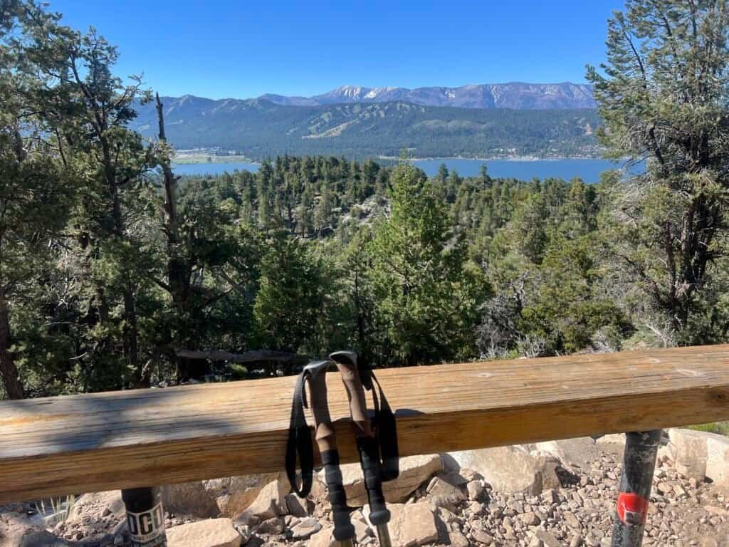
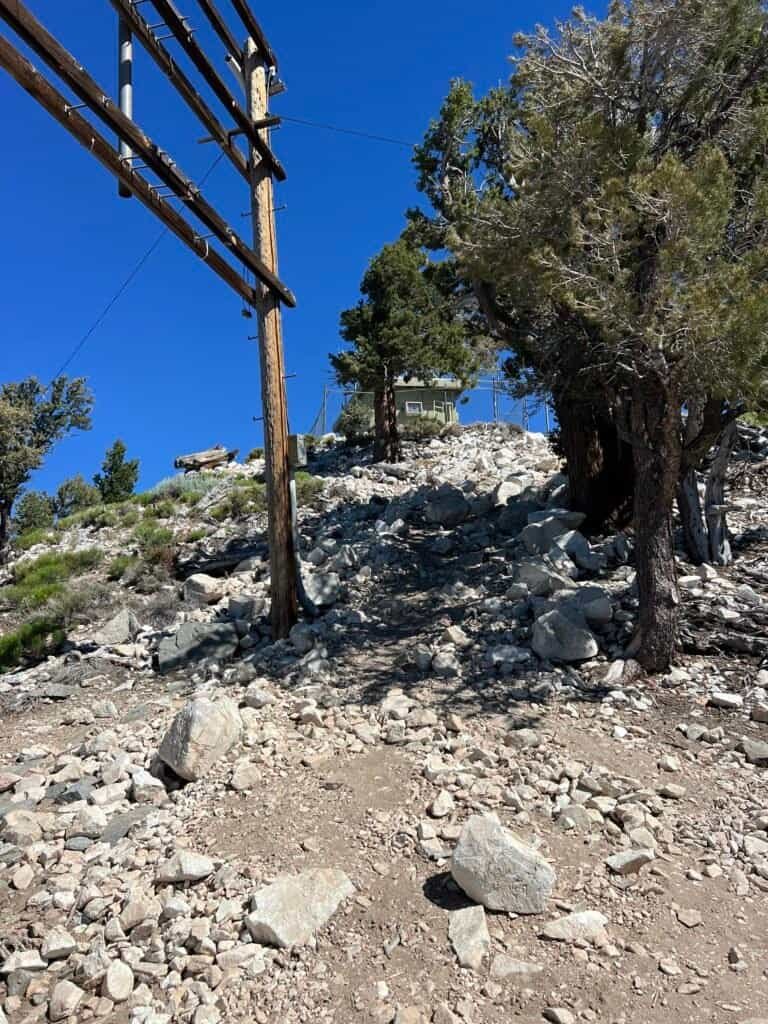
Near the summit, an open clearing revealed the mountains behind me. After passing a communications building and following a narrow trail upward, I finally reached the top at 9:40 AM. The views were incredible in every direction.
After a well-earned break, I started down around 10:00 AM, passing hikers who were just beginning their climb.
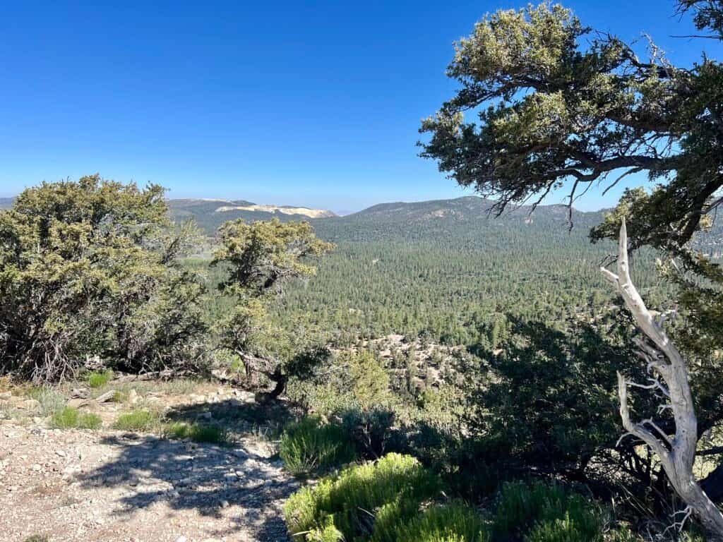
Photo: Views near the 3.5-mile mark

Photo: View of Big Bear Lake as you approach Bertha Peak Summit
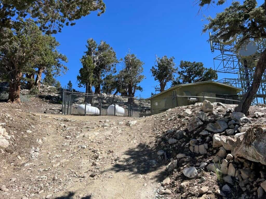
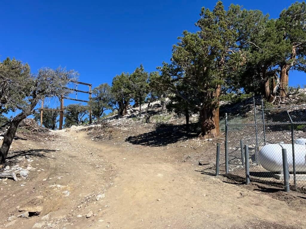
Photo: Communications buildings and final approach

Photos: View looking up to the summit | Looking down from the summit
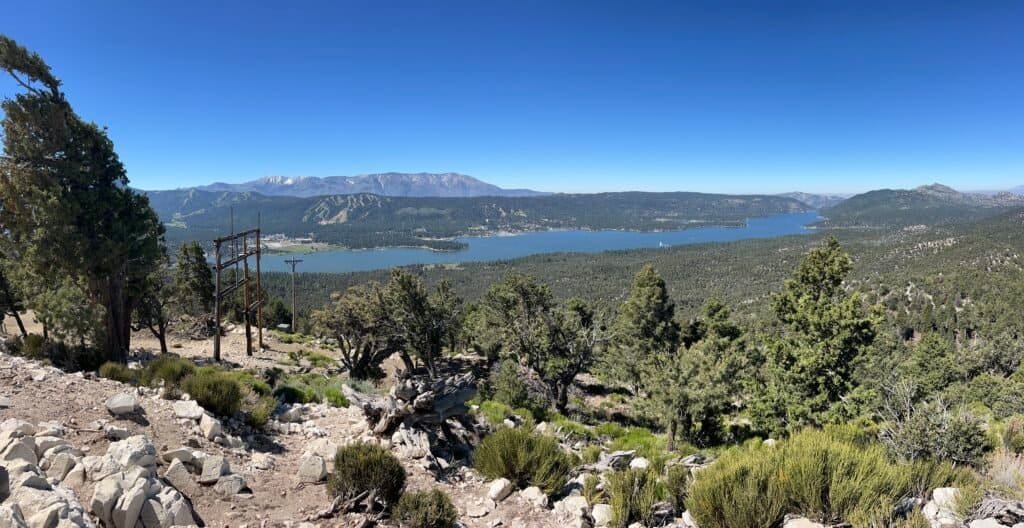
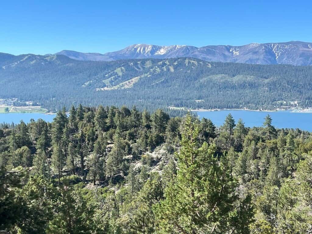
Photo: Summit views over Big Bear Lake, with snow-streaked peaks and the San Bernardino Mountains stretching out in every direction.
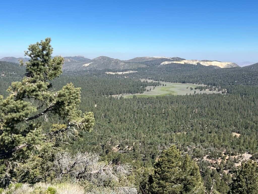
Photo: Looking out over the high country from the summit of Bertha Peak.

Photo: Panoramic view from Bertha Peak
Wrapping Up the Hike
A minor mishap with my Garmin split the hike into two segments, but the numbers still told the story: 7.5 miles, about 2.5 hours of moving time. Absolutely worth it.


Photos: Utah Juniper Tree
Before heading out of town, I stopped at the Big Bear Discovery Center — a must, especially if you’re planning hikes. Maps, ranger advice, and interactive exhibits make it a perfect place to start (or end) your adventure.

Photo: Big Bear Discovery Center
Wrapping Up My Big Bear Adventure
Looking back, this trip felt long overdue. After years of living in Southern California, finally making it to Big Bear Lake felt less like checking a box and more like answering a quiet curiosity that had been sitting there for a while. From the moment I arrived in this mountain town tucked into the San Bernardino Mountains, the pace shifted in a way that felt right.
There were small moments that stayed with me — wandering the village on a warm summer night, early mornings breathing thinner mountain air, quiet trail miles that led to wide-open views. The stay at the hostel, the trail run that turned into a hike, and the long climb up to Bertha Peak all stitched together into something simple and satisfying. Nothing rushed. Nothing forced.
If you’re thinking about a getaway that blends movement, scenery, and just enough stillness, Big Bear delivers. Whether you come for the hikes, the lake, or the town itself, it’s one of those places that reminds you how much is waiting when you slow down and finally say yes to exploring closer to home.
Catch you on the trail!
Dates of Hike: 15 & 16 June 2024

Discover more from love cook adventure
Subscribe to get the latest posts sent to your email.
1 Pingback