
May 2025 Update: Expanding My Usual Route
I’ve logged a lot of miles on Double Peak over the years. It’s one of those hikes I keep coming back to—reliable, familiar, and somehow still surprising.
Recently, though, I started pushing beyond my usual routine. I added side trails, longer spurs, and eventually… yes, the San Elijo Hills 10K Loop, which I once swore I’d never hike.
Never say never, I guess.
You’ll find those updates toward the end of this post. But first, let’s rewind to why Double Peak keeps pulling me back.
Double Peak — San Diego’s Best-Kept Secret
I’ve honestly lost track of how many times I’ve hiked from Discovery Lake up to Double Peak in San Marcos. Still, every climb feels earned.
If you’re in San Diego and looking for a hike that checks all the boxes, this one delivers.
It’s a legit workout.
It has killer views.
And when you reach the top, it genuinely feels like you’ve accomplished something.
In a way, you have.
Why Double Peak Should Be on Your Radar
Here’s the quick snapshot:
- Distance: ~4 miles round-trip
- Elevation Gain: ~1,000 feet
- Views: 360°, stretching from the Pacific to inland peaks like Palomar Mountain — and on clear days, even Catalina Island and Mexico
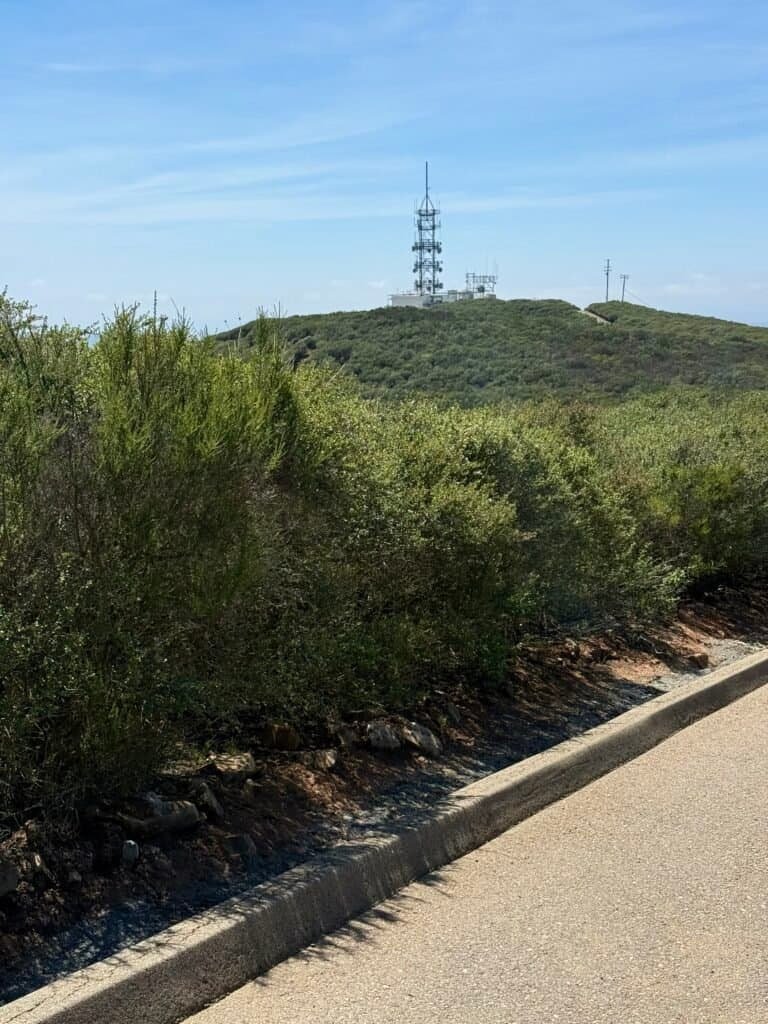
That said, this hike is easy to customize. If you’re feeling ambitious, you can extend it by heading toward the Ridgeline Trailhead or detouring toward the Microwave Towers for extra mileage.
What really sets Double Peak apart, though, is how accessible it is. The trails are well-maintained, clearly defined (mostly), and consistently rewarding.
The hike begins at Discovery Lake, a calm, family-friendly loop where kids circle the water while you mentally prepare for what’s coming next. It’s a perfect warm-up—and a nice contrast to the climb ahead.
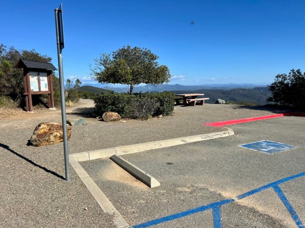
Parking is straightforward, either in the lot or along nearby streets. Bonus: there are restrooms at the lake, and more waiting for you at the top if you plan to hang out.
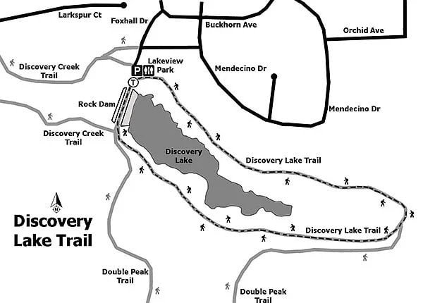
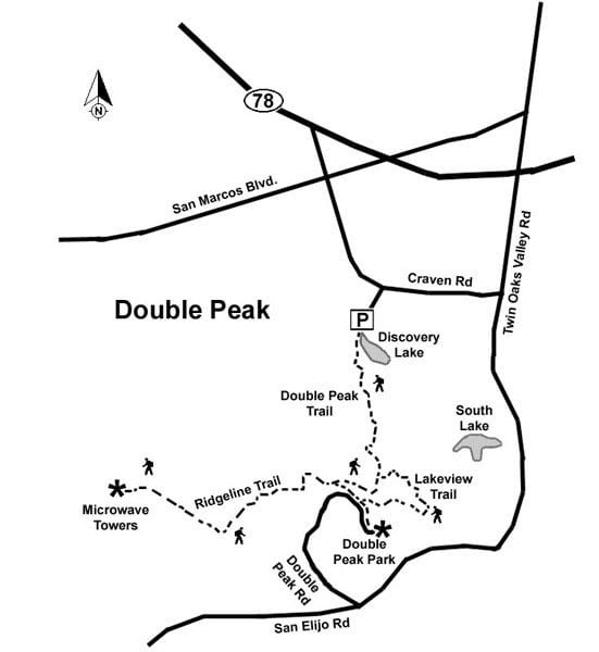
Photos: Discovery Lake Map | Double Peak Map
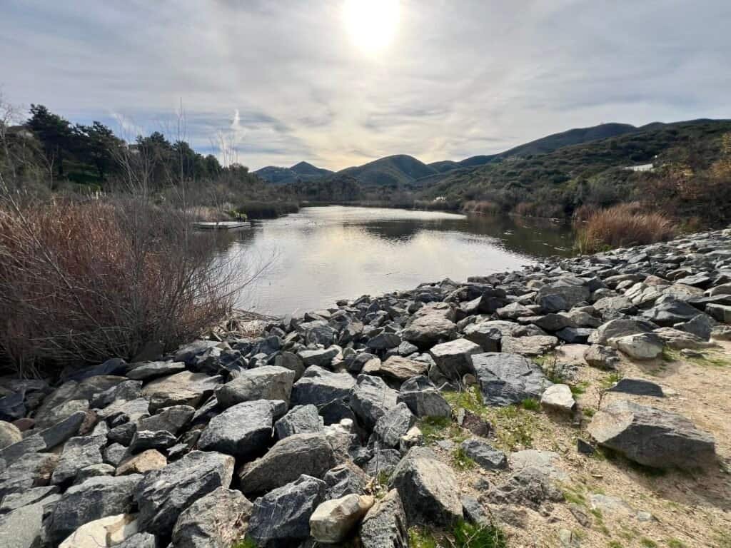
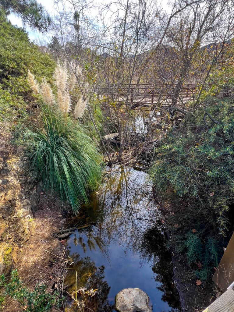
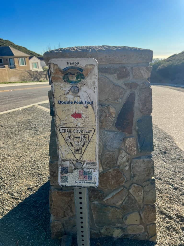
Photos: Discovery Lake

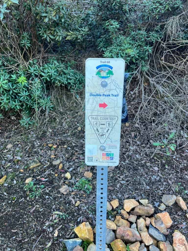

Photos: The Gratitude Trail at Discovery Lake | A couple of the trail markers you’ll see — some faded, and a few routes from the summit are unmarked
The Climb: No Pain, No Gain
Once you leave Discovery Lake, the work starts immediately.
The incline hits fast. Switchbacks help, but don’t underestimate this section—it’ll wake up your legs quickly. Still, the effort feels honest rather than brutal, which makes it easier to settle into a steady rhythm.
Along the way, you’ll cross paths with hikers, trail runners, and mountain bikers. The vibe stays friendly and relaxed. However, there’s almost no shade, so water and sunscreen aren’t optional. The sun doesn’t mess around here.
Every so often, it’s worth stopping to look back. The views start opening up earlier than you expect—and they only get better.

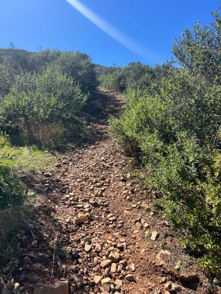
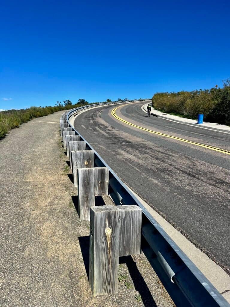
Photos: The Ridgeline Trail (wide and forgiving)
A trail descending from the summit

Photo: A look back at the Ridgeline Trail
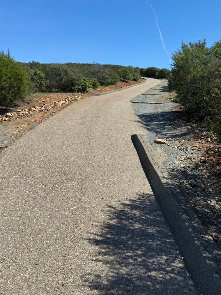
Summit Decisions: Dirt or Pavement?
Near the top, you’ll face a choice.
You can merge onto Double Peak Drive for a paved finish—or take the steeper dirt trail on the left. I’ll always choose dirt. It’s rougher, more fun, and feels earned.
One important note: there’s a tempting “secret trail” along the ridge. It does not lead to the summit. Ask me how I know.
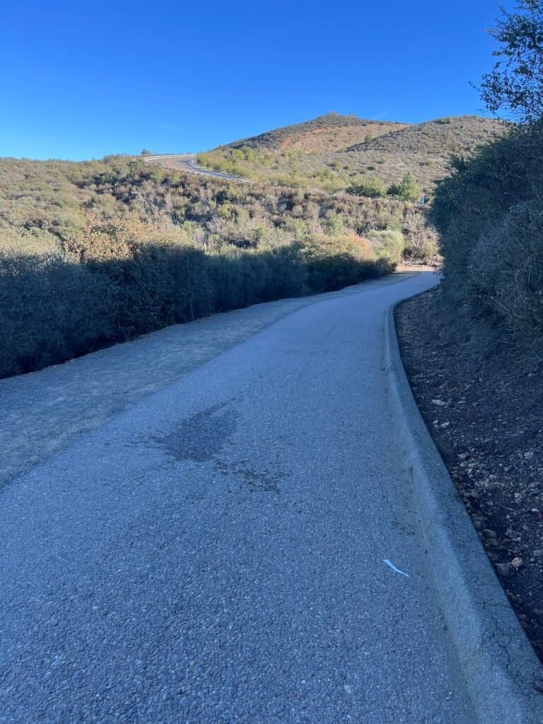
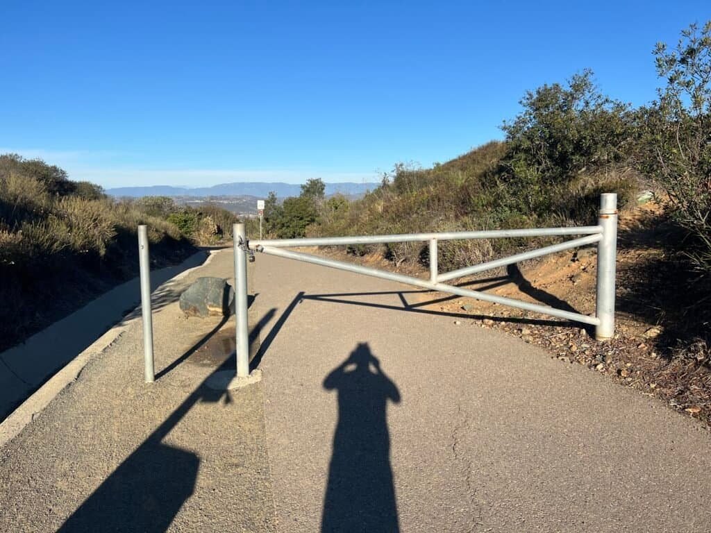
Photos: The portion of Ridgeline Trail paved near Double Peak Drive | Passing through the gate | Then turn left and hike up Double Peak Drive

Photos: The hike along Double Peak Drive | Just after this bench, on the right in the picture is the Secret Trail – this WILL NOT TAKE YOU TO THE SUMMIT, but along the ridge of the mountain.
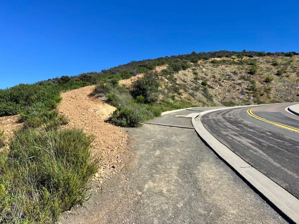

Photos: Road vs dirt — your call | Looking back toward the Ridgeline Trail
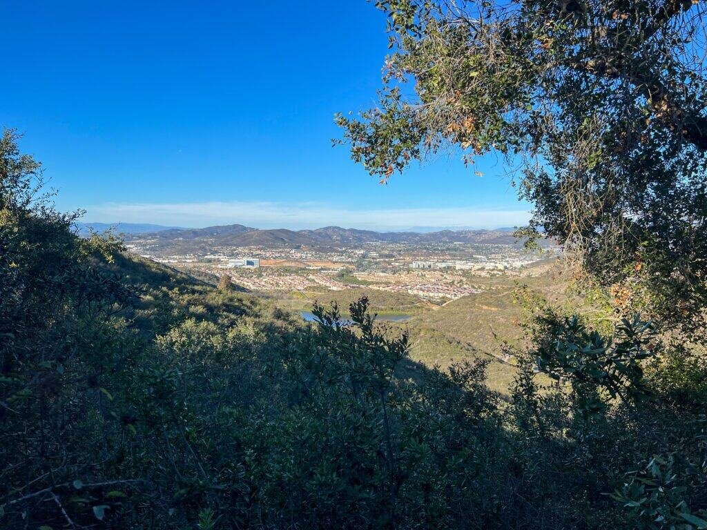
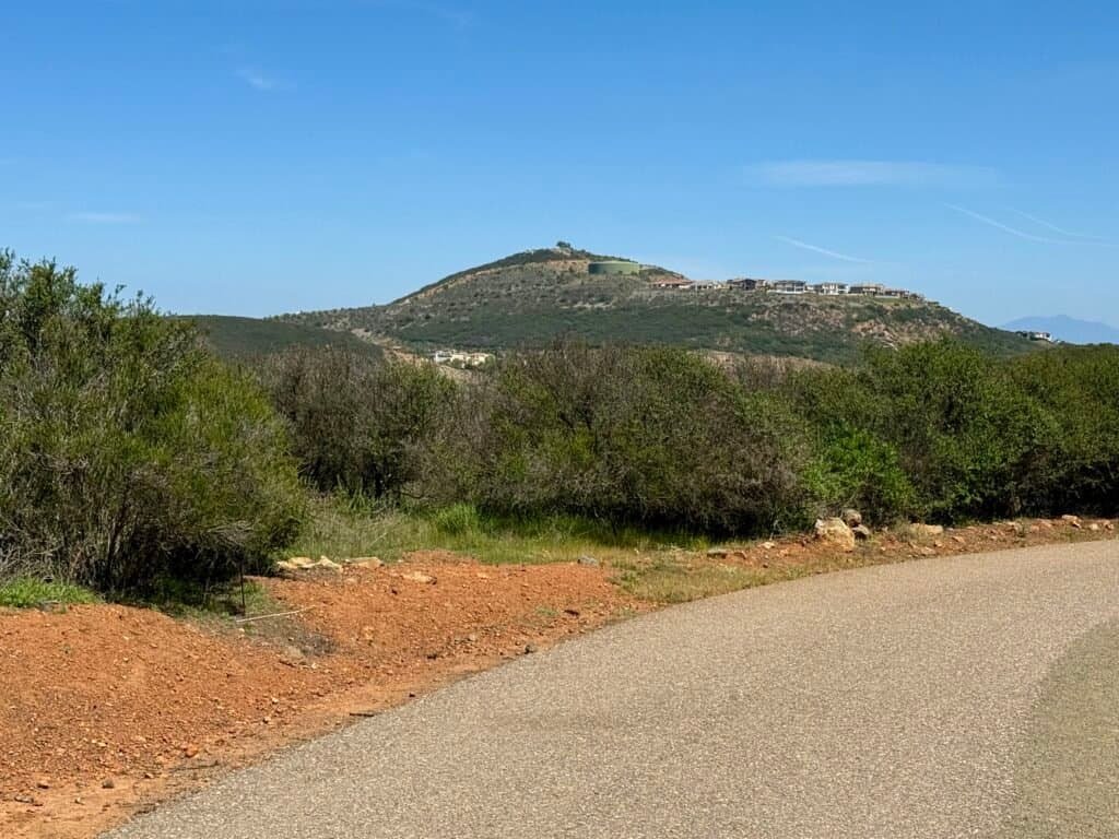
The Summit: Views for Days
Once you reach the top, it’s all payoff.
On clear days, you can spot Carlsbad, the Pacific Ocean, inland mountain ranges, and sometimes even Catalina Island or Tijuana in the distance. It’s one of those places where your eyes don’t quite know where to land first.
There are benches, picnic tables, and plenty of room to linger. This is a great place to slow down—eat a snack, hydrate, or just sit quietly and take it all in.
If you can time it right, sunset and stargazing are where Double Peak really shines. They even host organized stargazing events up here, which is pretty special.

Photos: Summit view with upper parking lot below

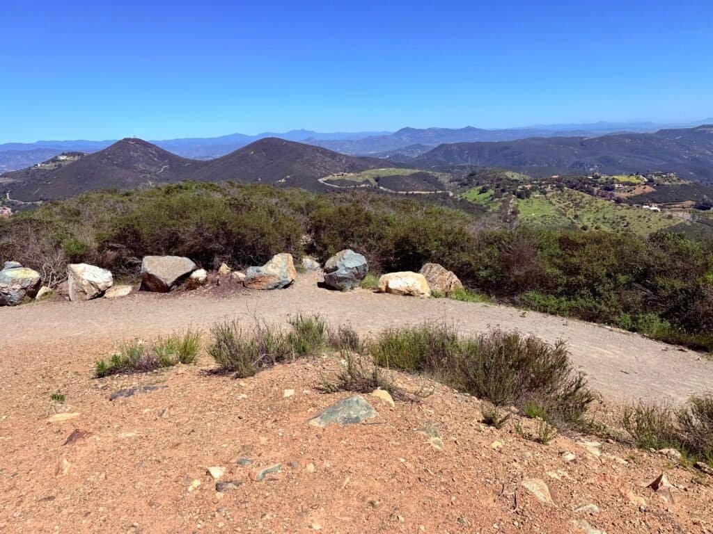
Photos: Approaching the summit | Mountain views from the top

Photo: View from near the amphitheater
Double Peak Summit Must-Dos
If you’re going to make the climb, make the most of it:
- Soak in the 360° views — No rush. You earned this.
- Catch sunrise or sunset — Both are magic in different ways.
- Picnic with a view — Simple snacks hit harder at elevation.
- Stick around after dark — Stargazing up here is surprisingly good for North County.
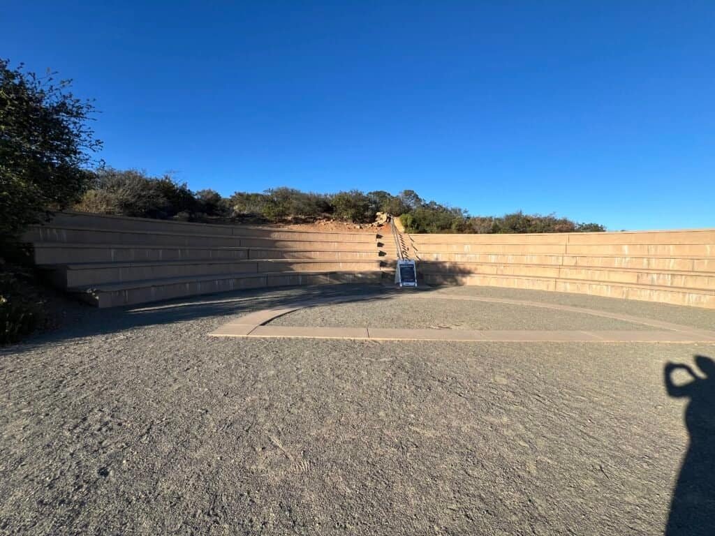
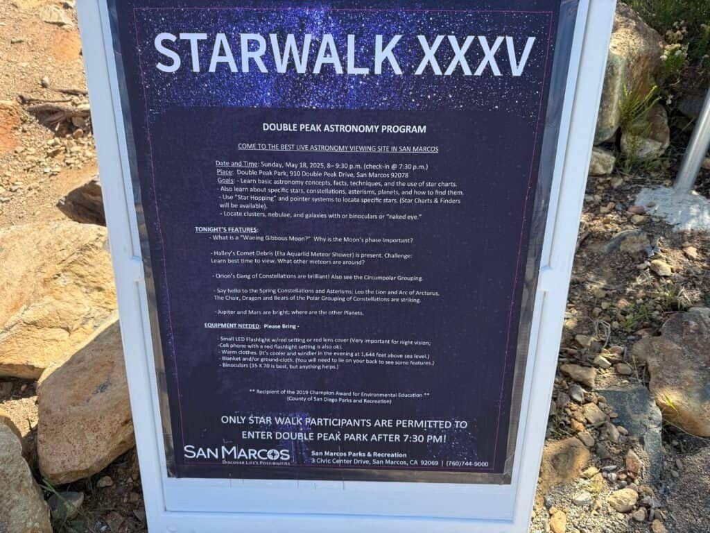
Photos: Mahnita Boyden-Wofford Amphitheater | Stargazing event

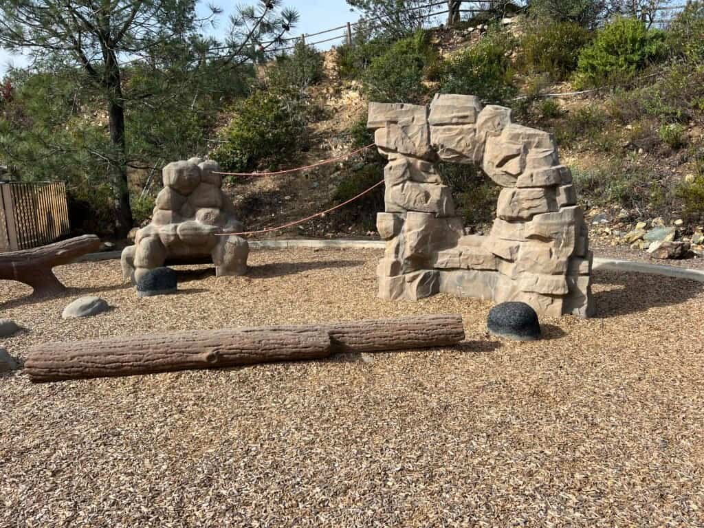
Photos: Lower parking area near restrooms | Playground nearby
The Descent: Keep Your Eyes Peeled
For the way down, I usually take the trail past the amphitheater.
Along the route, you’ll pass a mountain lion warning sign. Sightings are rare, but it’s a good reminder that this is still wild space. Stay alert and keep your head up.
This stretch is also a great place to spot wildlife—hawks overhead, rabbits in the brush, the occasional coyote. And yes, keep an eye out for rattlesnakes, especially in warmer months. Hiking poles help, but staying on trail helps even more.

Photos: The trail down from the top towards the Restrooms and Amphitheater | Continue on the trail past the informational board and past the Amphitheater
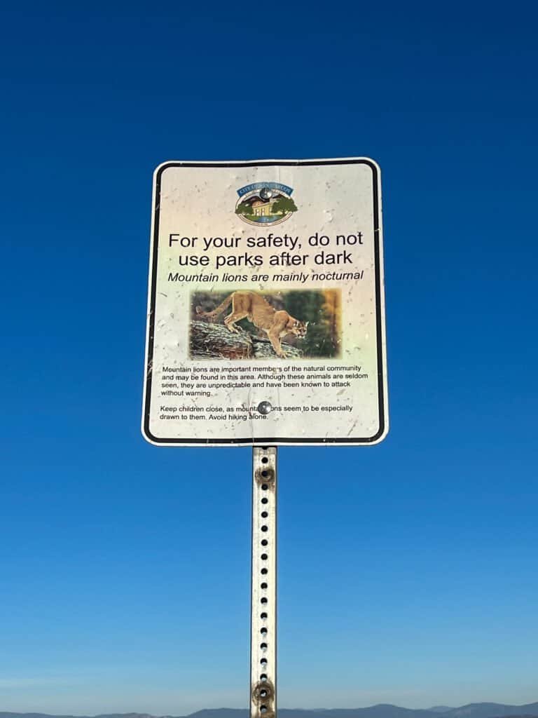

Photos: Mountain lion warning | Trail beyond the amphitheater
Alternative Routes: Same Views, Different Effort
If a steep climb isn’t your thing, you’ve got options.
You can drive directly to the summit parking area and still catch sunrise or sunset without the hike. Another popular alternative is starting at the Ridgeline Trailhead off San Elijo Road.
One heads-up: when school lets out, that parking lot turns into a full-on parent pickup circus.
Also, despite the name, the hike actually begins on Lakeview Trail, transitions to Viewpoint Trail, and only later becomes Ridgeline Trail. Confusing, but confirmed using the San Marcos Interactive Trail Map.


Photos: Ridgeline Trailhead | Parents waiting for their kids – this is nothing compared to what I have seen!

Photos: Lakeview Trail near the trailhead | South Lake
May 2025 Update: Going Further
If you’re hiking up from Discovery Lake and hit the San Elijo Hills 10K Loop, most people turn left toward Double Peak.
But if you turn right instead, a paved path leads about 1.5 miles to the Lake San Marcos Peak Tower.
That detour adds roughly 3 miles round-trip, comes with far fewer hikers, and offers a quieter, more meditative stretch. The route dips before climbing again, so you’ll feel it—but in a good way.
I’ve also done this route from the village side, but approaching it from Discovery Lake adds a satisfying challenge and a welcome change of scenery.

Photos: Trail to Lake San Marcos Peak Tower

Photos: Looking back at Double Peak | Lake San Marcos Peak Tower
And Yes… I Finally Did the 10K Loop
After years of avoiding it, I finally tackled the full San Elijo Hills 10K Loop on May 14, 2025, hiking with my sister, Victoria. We even added a quick Double Peak detour, bumping the total distance by about 0.8 miles.
Starting from the village turned out to be the right call. I’d worried that hiking along San Elijo Road would feel too urban, but the stone path along the west side helped it feel more like a trail than a sidewalk.

Photos: San Elijo 10K Loop Map
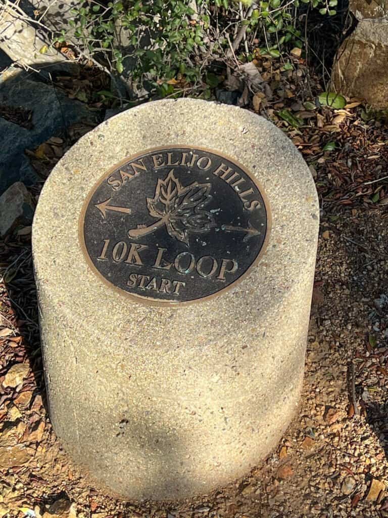
10K Loop Marker – this is the one at the Ridgeline Trailhead
It was a solid workout—and honestly, better than expected.
I’ll save deeper thoughts on how this area connects with nearby hikes (including Elfin Forest) for a future update, where that story fits more naturally.

Photo: Lake San Marcos Peak Tower from the village side
Final Thoughts
The hike from Discovery Lake to Double Peak remains one of the most reliable, rewarding hikes in North County.
It’s challenging without being punishing.
Scenic without being overwhelming.
And flexible enough to feel different every time you return.
Throw on your shoes. Bring water. Chase the views.
You won’t regret it.
Catch you on the trail!
Discover more from love cook adventure
Subscribe to get the latest posts sent to your email.
Vicki M
Loved that hike! And the views were amazing!!
Steve Anderson
I’m so glad you enjoyed it! The views really were breathtaking. Can’t wait to go on more hikes together!