After summiting Mount Magazine | Arkansas (#25) the day before, I continued my journey south into Louisiana and on to Driskill Mountain.
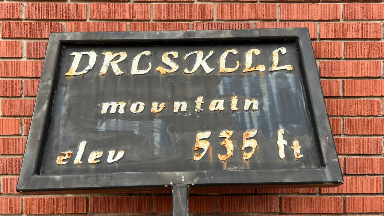
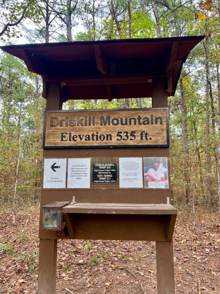
Driskill Mountain holds the distinction of being Louisiana’s highest natural summit, standing at 535 feet above sea level. It ranks #48 in State High Points — and it was my 26th High Point.
Located in northern Louisiana within the Kisatchie National Forest, it’s about 60 miles east of Shreveport and just 18 miles south of Interstate 20.
The mountain was named after James Christopher Driskill, originally from Georgia, who purchased the land on December 30, 1859 for about $5.15 per acre. In 1883, he sold two acres to the trustees of Mt. Zion Presbyterian Church, where today you’ll find the trailhead and Driskill Memorial Cemetery.
Driskill Mountain also sits in Bienville Parish (Louisiana’s version of counties). Interestingly, the parish is known for something far darker — it’s where Bonnie & Clyde were ambushed and killed near Sailes, Louisiana. The Bonnie & Clyde Ambush Museum sits about eight miles north in Gibsland.
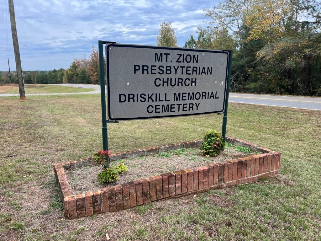
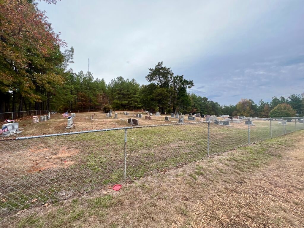
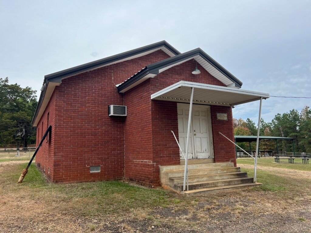
Photos: Church Sign on Rte. 507 | Driskill Memorial Cemetery |
Mt. Zion Presbyterian Church
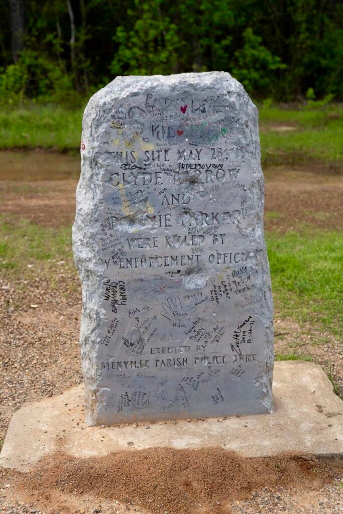
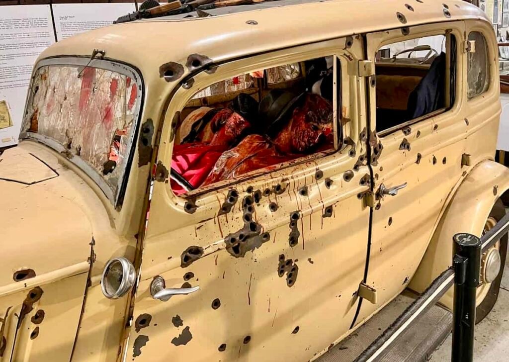
Photos: Bonnie & Clyde Memorial at Ambush Site | Replica of Car at the B&C Ambush Museum
The Things You Learn
After leaving Mount Magazine State Park, I took back roads and decided to spend the night in El Dorado, Arkansas.
As I approached town, I was surprised by the number of chemical manufacturing and oil processing plants. During World War II, El Dorado became a center of the chemical industry — and that legacy still remains. Oil and timber continue to drive the economy today.
Murphy USA (#322 on the Fortune 500 list) is headquartered here — you’ve likely seen their stations at Walmart. Other major employers include LANXESS, Nexans AmerCable, and Canfor Southern Pine.
The air even carried a faint chemical scent.
And I knew something was different when I searched hotels and found The Haywood El Dorado, part of the Tapestry Collection by Hilton. Not exactly what you expect in a small industrial town.

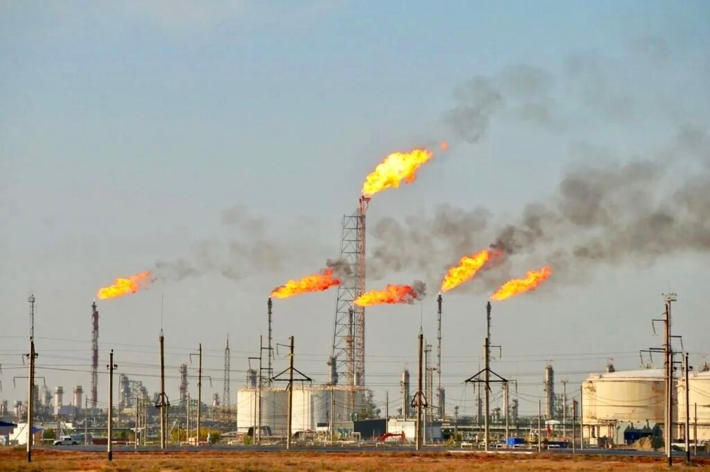
Photos: Oil Refinery and Chemical Plants | The Industrial Landscape Surrounding El Dorado
Logging, Timber & Perspective
Forests cover nearly 50% of Louisiana’s land area.
That explains the endless pine trees — and the logging trucks.
Driving the back roads, I noticed a pattern: southbound logging trucks passed me while northbound lumber trucks and empty haulers headed the other way. Later, I learned there was a sawmill just south of my location. In fact, a $240 million state-of-the-art mill opened in Bienville Parish in 2023.
However, despite all that investment, the roads were in rough shape.
What struck me even more was the level of poverty.
I’ve seen poverty around the world, but this felt different. Experiences like this remind me how important it is to explore beyond tourist corridors and see the real United States. It changes your perspective.
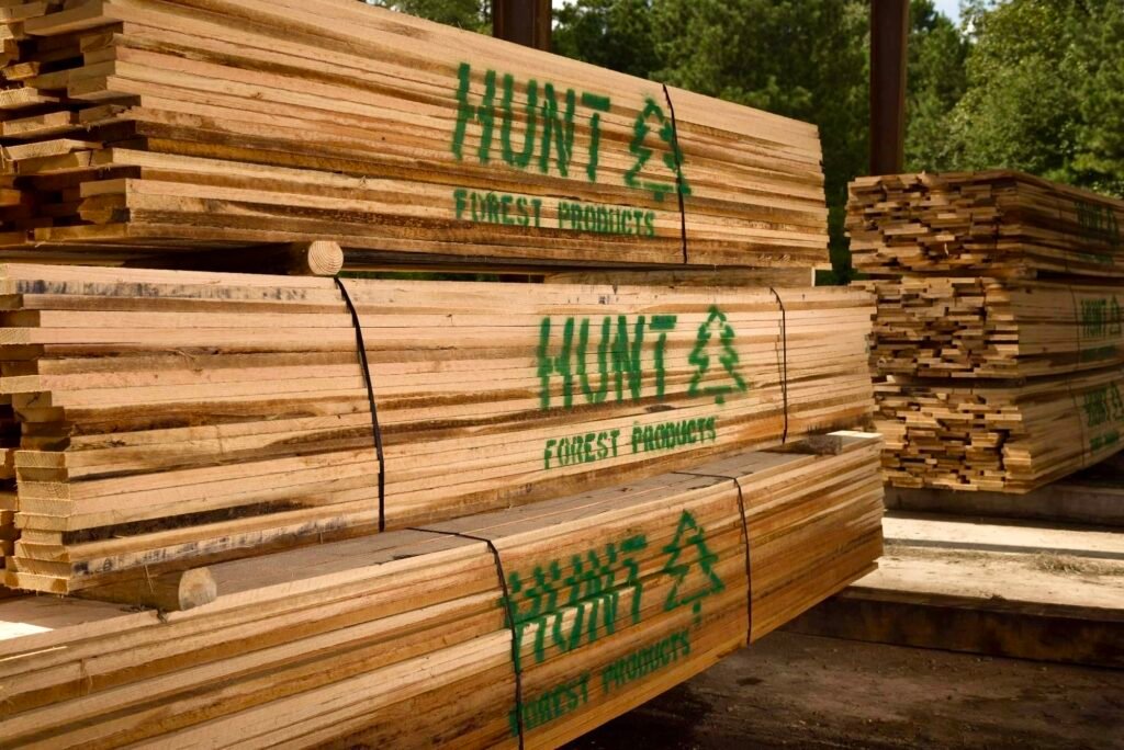
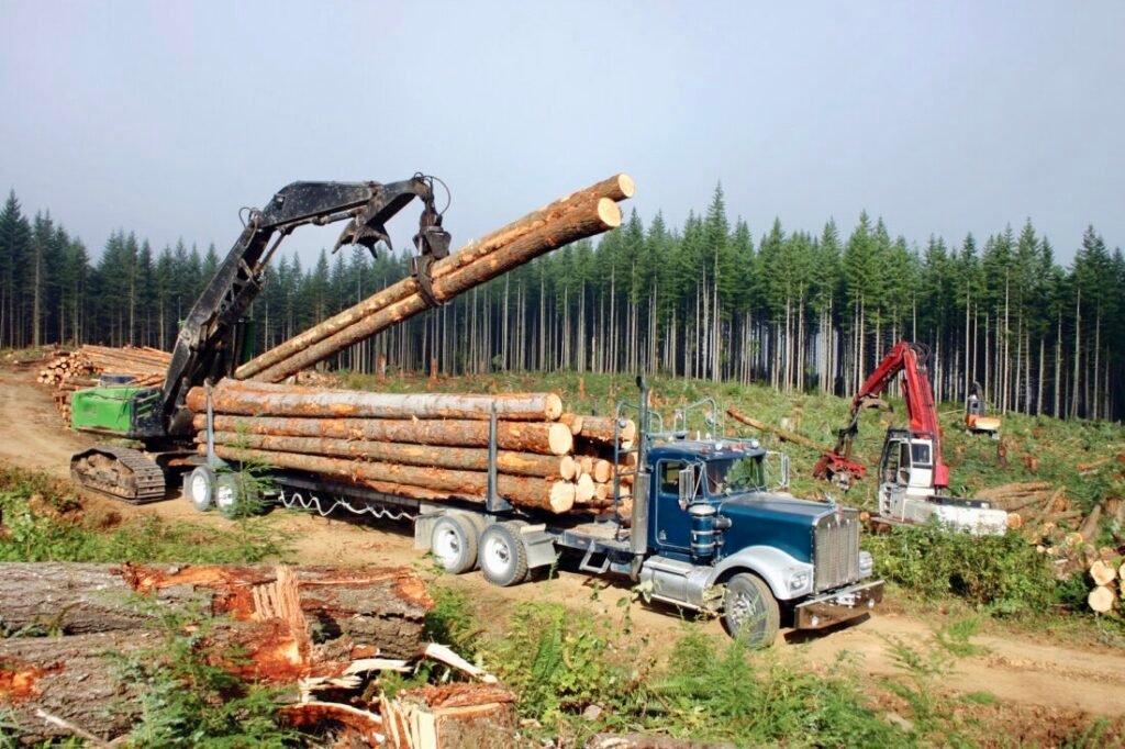
Photos: Timber and Lumber Industries in NW Louisiana
On to the High Point
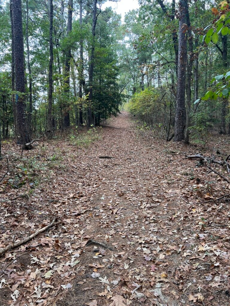
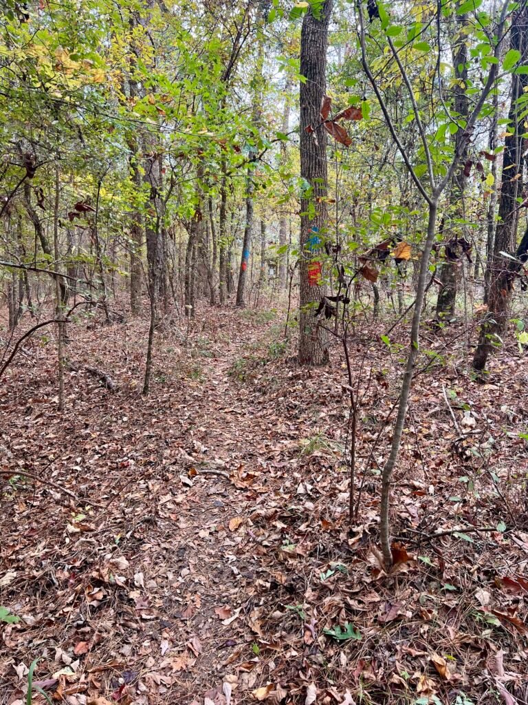
For private land, this trail is extremely well marked.
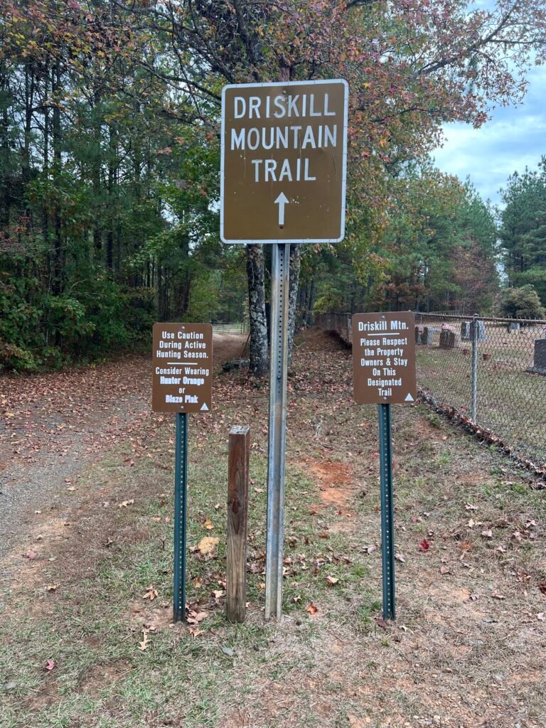
The trailhead begins at Mt. Zion Presbyterian Church. The hike is roughly two miles out and back with very little elevation change. I clocked it at 1.82 miles and completed it in 45 minutes.
Because it’s hunting season, the sign at the trailhead caught my attention:
“Use Caution During Active Hunting Season.”
“Consider Wearing Hunter Orange or Blaze Pink.”
On the drive in, I had passed several active deer and hog processing sites. I didn’t have orange or pink — but I did have my bright yellow REI rain jacket.
So I put it on.
Not a huge delay — but a smart decision.
Thankfully, it was cool and overcast. I had read an AllTrails review mentioning 80° heat and humidity just two weeks earlier. In that weather, this jacket would’ve been unbearable. Instead, I actually needed it.
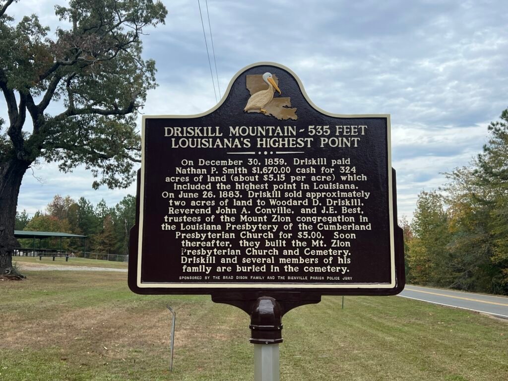
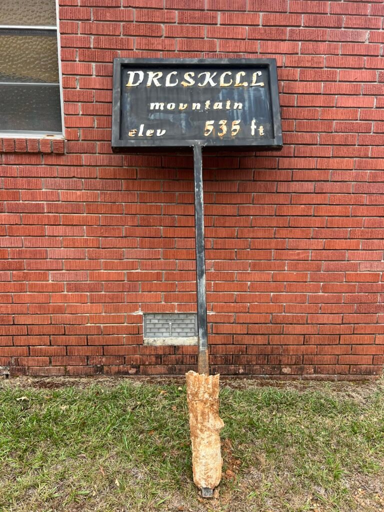
Photos: Driskill Mountain Historical Marker | Driskill Mountain Elevation Sign at Mt. Zion Presbyterian Church
Following the Designated Trail
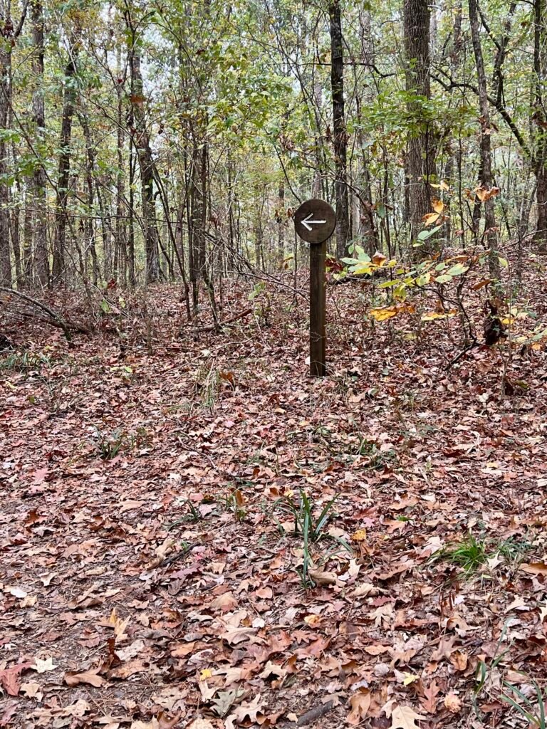
From the trailhead, you walk around a gate and continue up a dirt road. Eventually, the road curves right — but the Designated Trail continues straight.
From there, the signage is consistent: trail markers and arrows keep you on course.
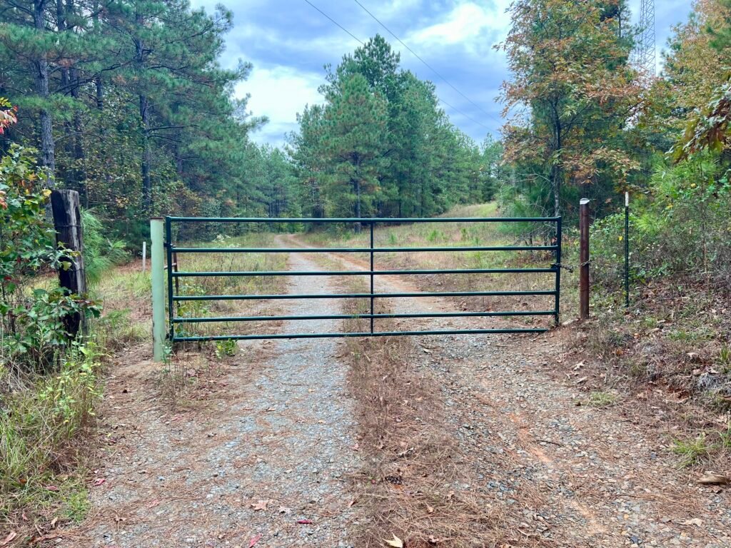
Photos: Trailhead at Mt. Zion Presbyterian Church | Gate at the beginning of the hike
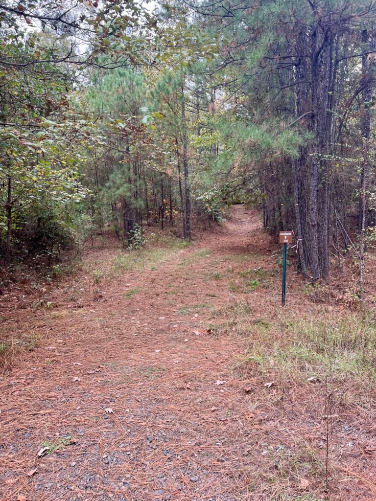
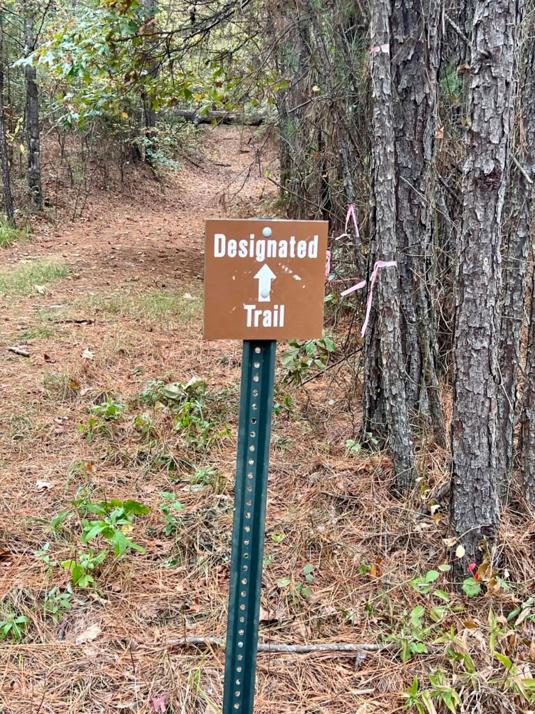
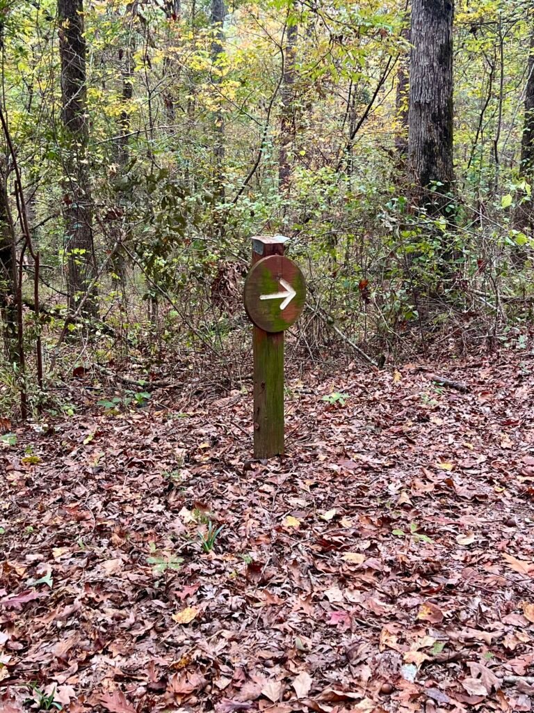
Photos: From the road, take this trail | One of the “Designated Trail” Markers | One of the Trail Arrows
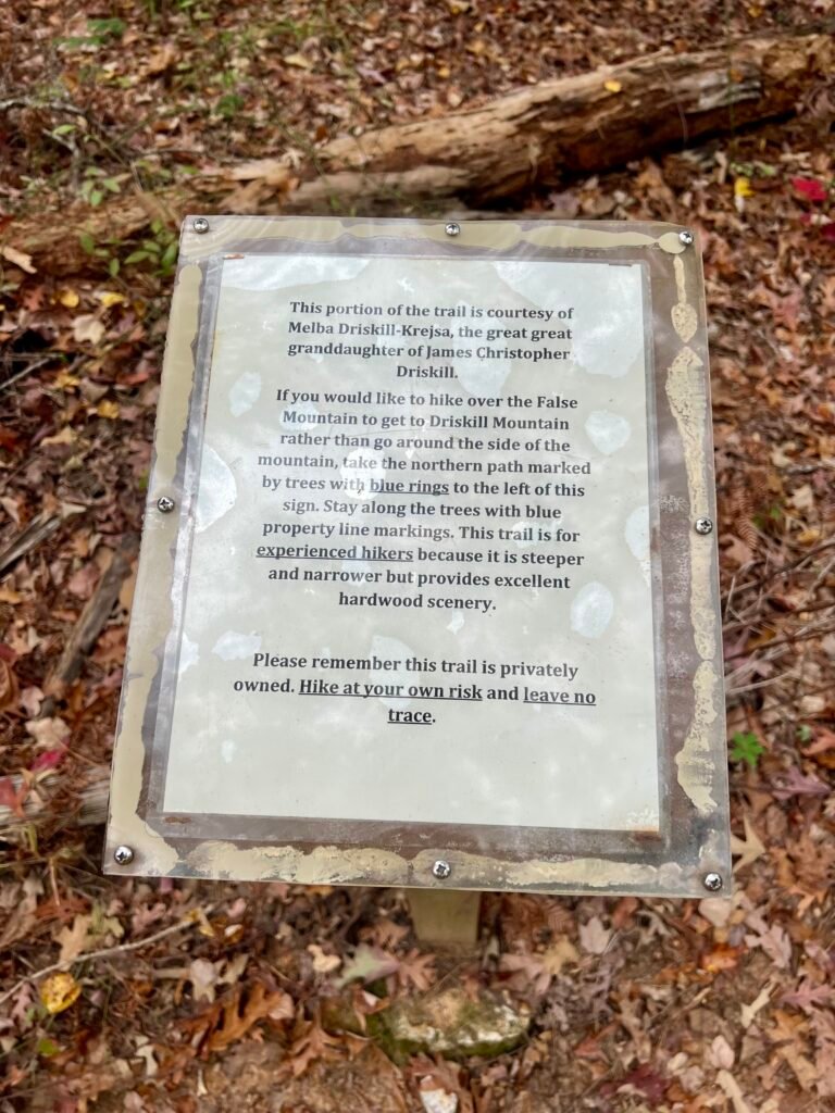
The trail exists thanks to Melba Driskell-Krejsa, a great-granddaughter of James Christopher Driskill.
Eventually, the path splits.
If you want a bit more challenge, you can head toward False Mountain, the south peak of Driskill. I chose the easier trail to the left. At 539 feet, I can’t imagine the False Mountain route is too punishing.
After the final bend and last arrow, there’s a small incline to the summit area.
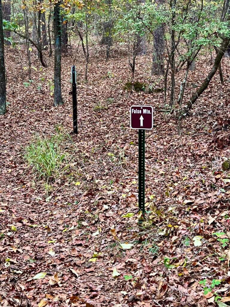
Photos: Melba Driskell-Krejsa Trail Sign | Trail junction to False Mountain
Photos: Last Arrow on the Trail | Small incline to the Summit area
A Summit With a View — Well, Kinda
Thanks to the efforts of Logan Blackwell Troop 255 — along with support from J-Bar Properties and Weyerhaeuser — the summit is publicly accessible and well maintained.
At the top, you’ll find a bench and a summit sign. A register sits inside a gun ammo box nearby. When I signed it, I noticed someone else had already reached the summit earlier that day.
It’s also worth noting that Jack Longacre, founder of the Highpointers Club, had his ashes scattered here in 2003.
Photos: Summit Sign with Registry in the gun ammo box on the left
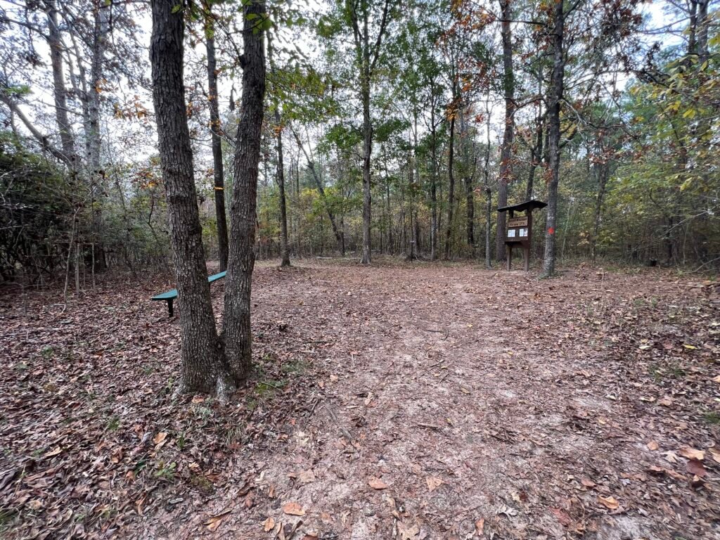
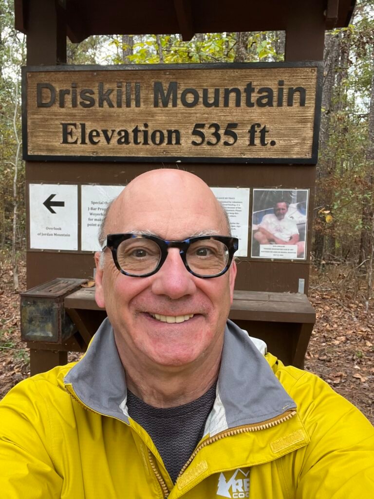
Photos: Summit Area | Summit Selfie
A short walk away is the Jordan Mountain Overlook. From there, you can see Jordan Mountain in the distance. It looks higher — but at 490 feet, it’s not.
Benches at the overlook were donated by the Highpointers Foundation.
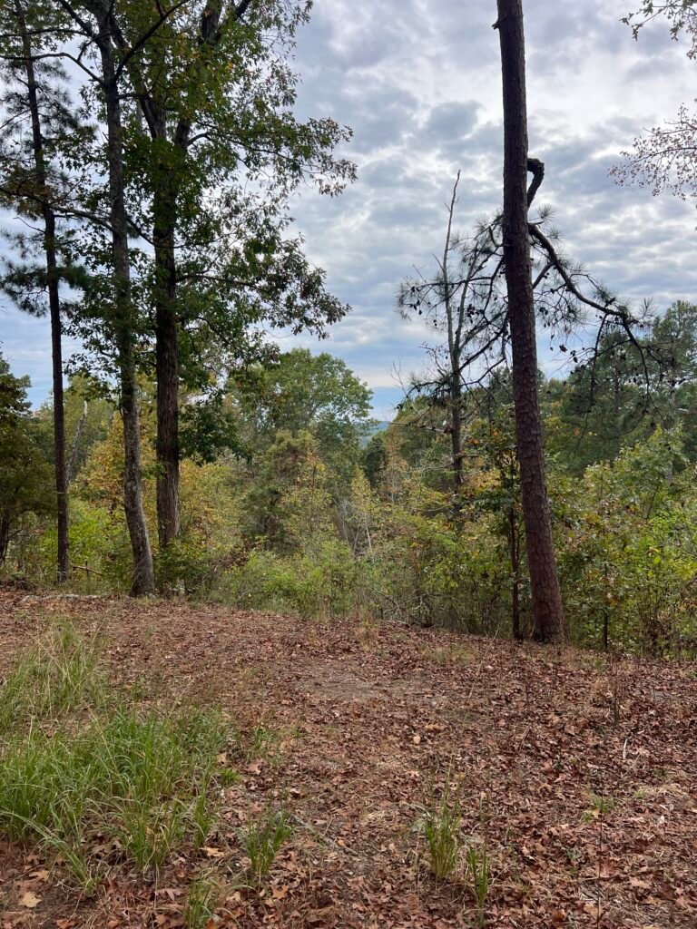
Photo: The View from the Summit
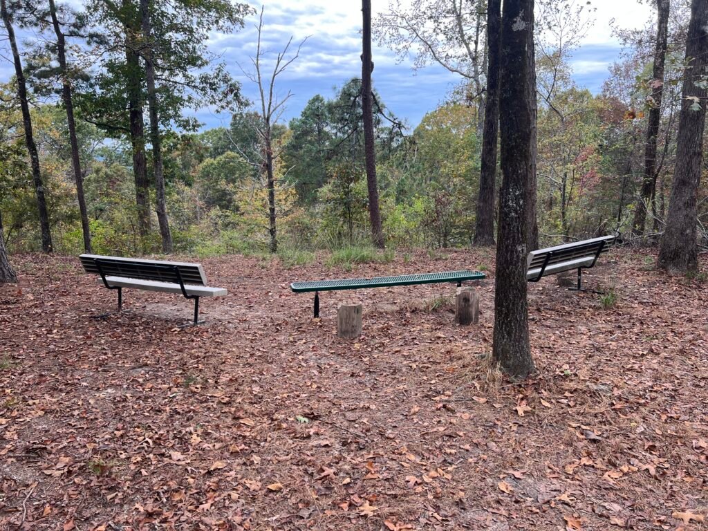
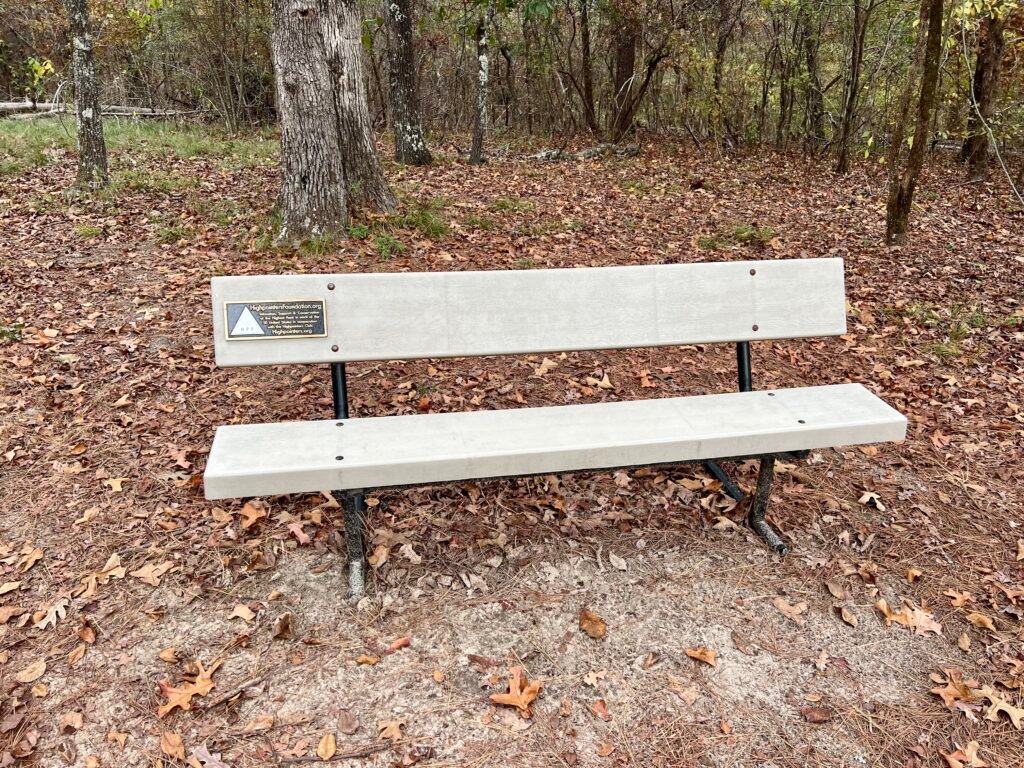
Photos: Jordan Mountain Overlook area | Highpointers Foundation Bench
Behind the summit is another trail marked with blue and orange blazes. I presume it connects to False Mountain, though I can’t say for certain. A few feet in, there’s a longitude and latitude marker — not the official survey marker, but still interesting.
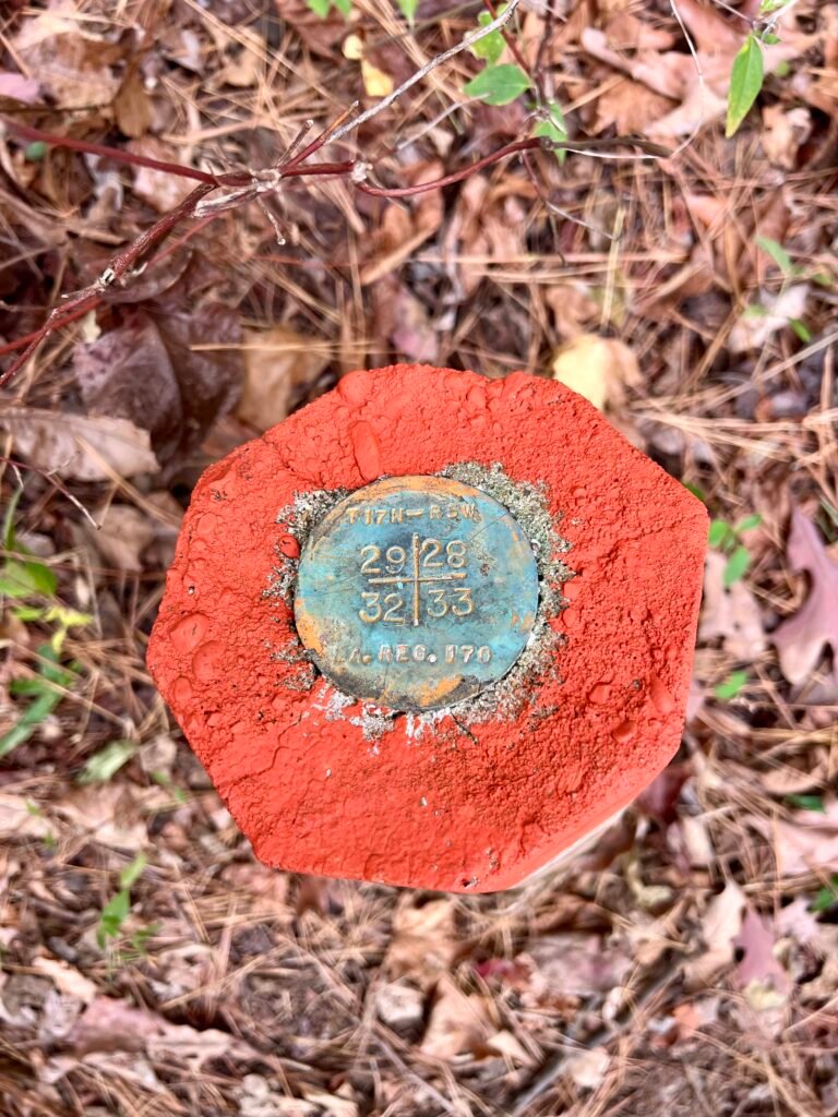
Photos: Trail on the backside of the summit | Longitude and Latitude Marker
A Quiet Ending
It was a peaceful day — almost too peaceful.
Strangely quiet.
At one point, I felt like someone was watching me. It reminded me of a scene from Deliverance. Thankfully, it was just a normal Monday and not Friday the 13th.
So Louisiana is now checked off the list.
If not for the State High Point goal, I probably wouldn’t have visited Driskill Mountain. And yet, that’s the beauty of this journey — it takes you places you might otherwise overlook.
Next up: westward to San Diego for Thanksgiving — with more state parks, more high points, and a stop at Guadalupe Peak, the highest point in Texas, along the way.
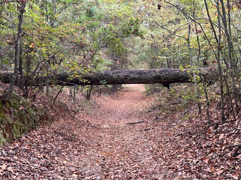
Photo: Nearing the end of the hike
Catch you on the summit!
Date of Visit: 13th November 2023.
Discover more from love cook adventure
Subscribe to get the latest posts sent to your email.
Leave a Reply