
A High Point in Name — and in Context
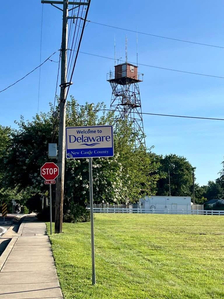
Ebright Azimuth sits in northern Delaware, just north of Wilmington and only steps from the Pennsylvania–Delaware border. At 448 feet above sea level, it ranks #49 among U.S. state high points and became my 21st state high point — a very different experience than my previous summit, Mount Mitchell.
This one is about as accessible as high points get. I parked on a nearby residential street and walked a few hundred feet to the marker. No trailhead. No elevation gain. No summit views. Just a quiet corner of suburbia with a plaque quietly doing its job.
And yet — like many state high points — it comes with a bit of nuance.
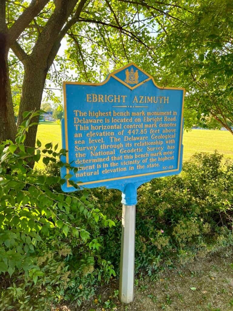
Photo: Ebright Azimuth historical marker, Delaware’s highest point
Where Exactly Is the High Point?
There’s long-standing discussion about the precise location of Delaware’s highest natural elevation. If you read the historical marker carefully, it hedges its wording, noting that:
…this benchmark monument is in the vicinity of the highest natural elevation in the state.
That ambiguity isn’t unusual in the world of highpointing, especially for states without dramatic relief. A survey marker located roughly 40 feet south of the historical marker is often cited in the discussion, adding another layer to the “where exactly is the summit?” question.
Honestly, it’s part of the charm. These places aren’t always about standing on a dramatic peak — sometimes they’re about learning how geography, history, and measurement intersect.
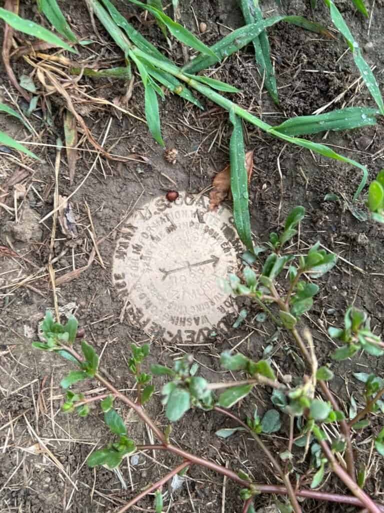
Photo: Ebright Azimuth survey benchmark
A Drive-By — and That’s Okay
Friends sometimes chuckle when I tell them I’ve traveled to places like this. And they’re not wrong — Ebright Azimuth is a drive-by high point.
But that’s also why I try to pair these visits with something else meaningful, usually a nearby state park or a stop from my ongoing Best State Parks list. The high point becomes an anchor, not the entire story.
Not every summit needs to be earned with sweat. Some are earned with curiosity.
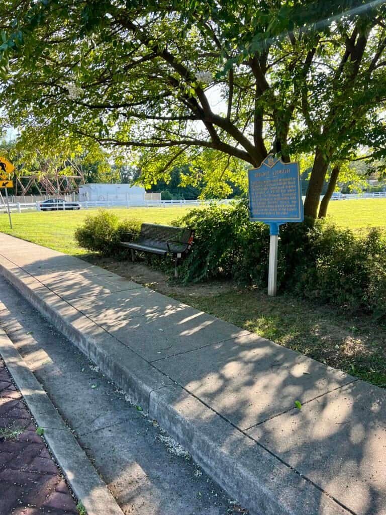
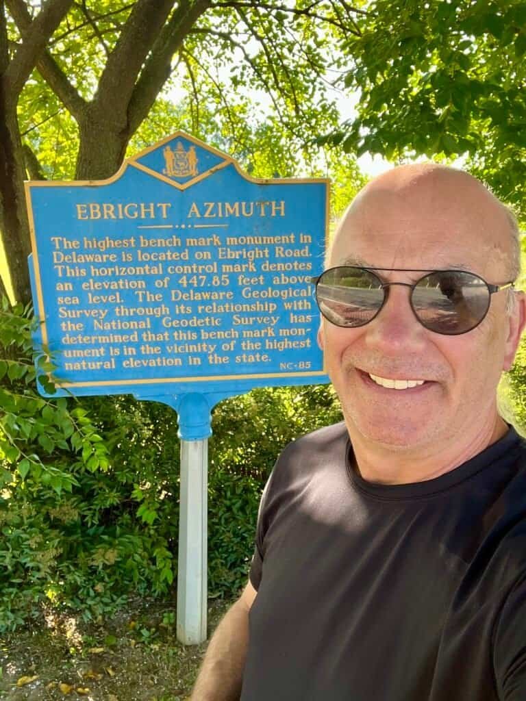
Photos: Ebright Azimuth historical marker and bench on roadside | “Summit” Selfie
Why the Name “Ebright Azimuth”?
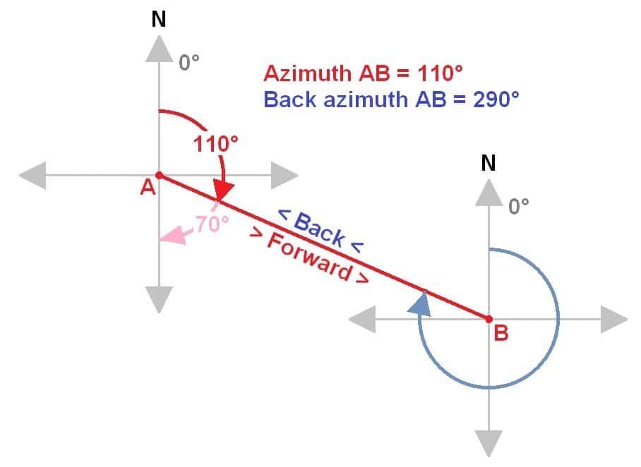
Photo: Diagram illustrating azimuth and back azimuth angles
The name comes from James and Grant Ebright, who owned the land where the benchmark was placed.
The word azimuth itself refers to an angular measurement in a spherical coordinate system, typically expressed in degrees. It’s a foundational concept in navigation, astronomy, engineering, mapmaking, and surveying. The term traces back to the Arabic as-sumūt, meaning “the directions.”
For a state whose highest point is defined by surveying precision rather than dramatic elevation, the name feels oddly appropriate.
A Tall Neighbor with Big History
Just south of the benchmark stands a self-supporting radio tower with real historical weight. Constructed in 1947 by Western Union, it was part of a C-band microwave radio relay system that once linked New York City and Washington, D.C.
It’s a reminder that even modest landscapes can play important roles in national infrastructure and communication history — something easy to miss if you’re only looking for elevation.
Final Thoughts
Ebright Azimuth won’t test your lungs or your legs. It won’t give you views or trail stories. But it does offer something quieter: a lesson in how we define “highest,” why precision matters, and how history leaves its marks in unexpected places.
A quick stop, a little history, and then — onward and upward to the next high point.
Catch you on the “summit.”
Date of Visit: 31 August 2023
Discover more from love cook adventure
Subscribe to get the latest posts sent to your email.
Leave a Reply