
A Hike Through Time, Art, and Mystery
Some hikes impress you with views.
Others surprise you with stories.
Hiking Lake Hodges did both — quietly and unexpectedly. What began as a straightforward out-and-back turned into a walk through early water engineering, subtle trail art, wildfire reminders, and one lingering mystery that stuck with me long after I left the trail.
I parked across from Hernandez Hideaway, crossed the road, and headed south toward the dam. From the first steps, this hike felt like more than just mileage.
The Basics (For Those Who Care)
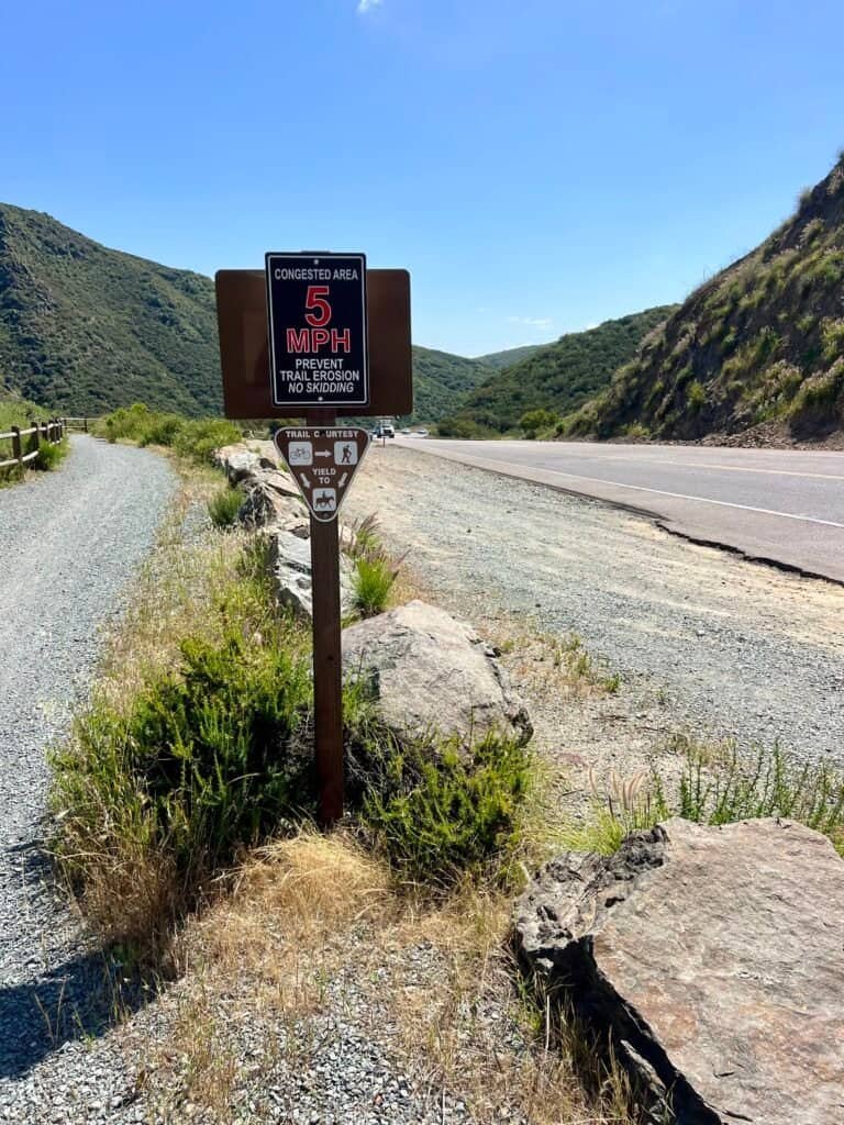
I followed what AllTrails lists as the Lake Hodges Trail:
- Distance: 6.3 miles (out and back)
- Elevation Gain: 498 feet
- Time: 2 hrs 19 min (AllTrails suggests 2.5–3 hrs)
- Difficulty: Easy to Moderate
For me, this hike wasn’t about numbers. It was about what unfolded along the way.
Starting at Hernandez Hideaway
Before the hike really began, the setting already mattered.
Hernandez Hideaway has been around since 1972, and it shows — in the best way. The dining room feels familiar and unfussy. Step into the bar, though, and it leans fully into dive territory. Regular stools. Strong pours. Zero pretense.
Because of that, it felt like the perfect place to start — and eventually finish — a hike rooted in place, not polish.
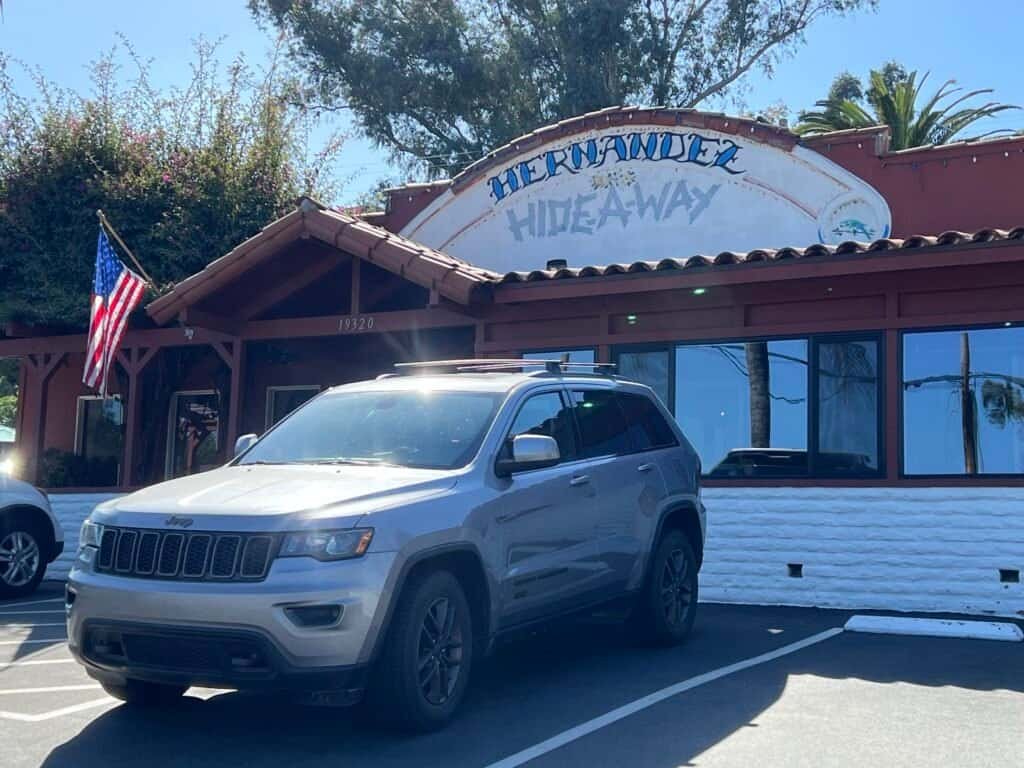
Photo: Hernandez HideAway | Escondido | CA
Walking Toward the Dam
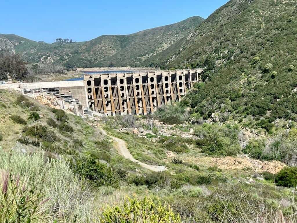
As I headed south, the trail slowly curved toward Lake Hodges Dam. Built in 1916, it still feels imposing today. Massive concrete arches rise from the landscape, reminding you just how long San Diego has been trying to manage water.

Photos: Trail map with highlighted sights

Photo: Lake Hodges, a stone’s throw from Hernandez Hideaway

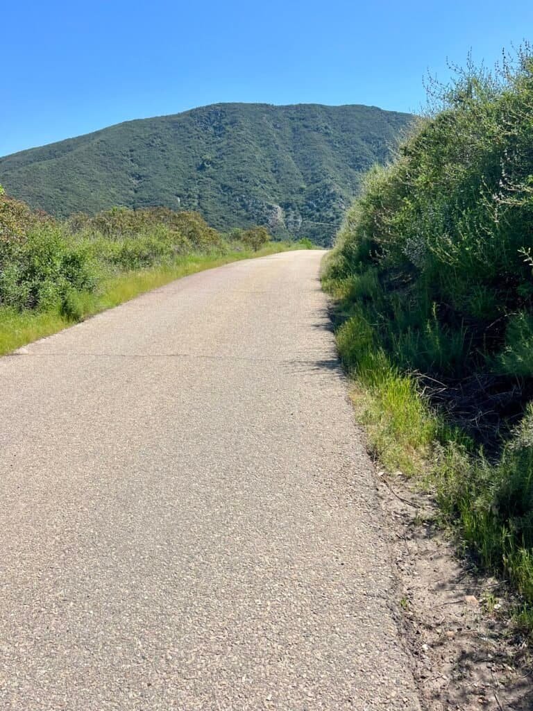
Photos: The hike is a mix of trails and roads
Designed by John S. Eastwood and originally commissioned by the Volcan Water Company, the dam was later purchased by the City of San Diego in 1925. At full capacity, the reservoir stretches across more than 1,200 acres, supplying water to the region and habitat to a wide range of wildlife.
Standing near it, you don’t just see infrastructure. You feel time.

Photo: Lake Hodges Dam

Photo: Lake Hodges Dam
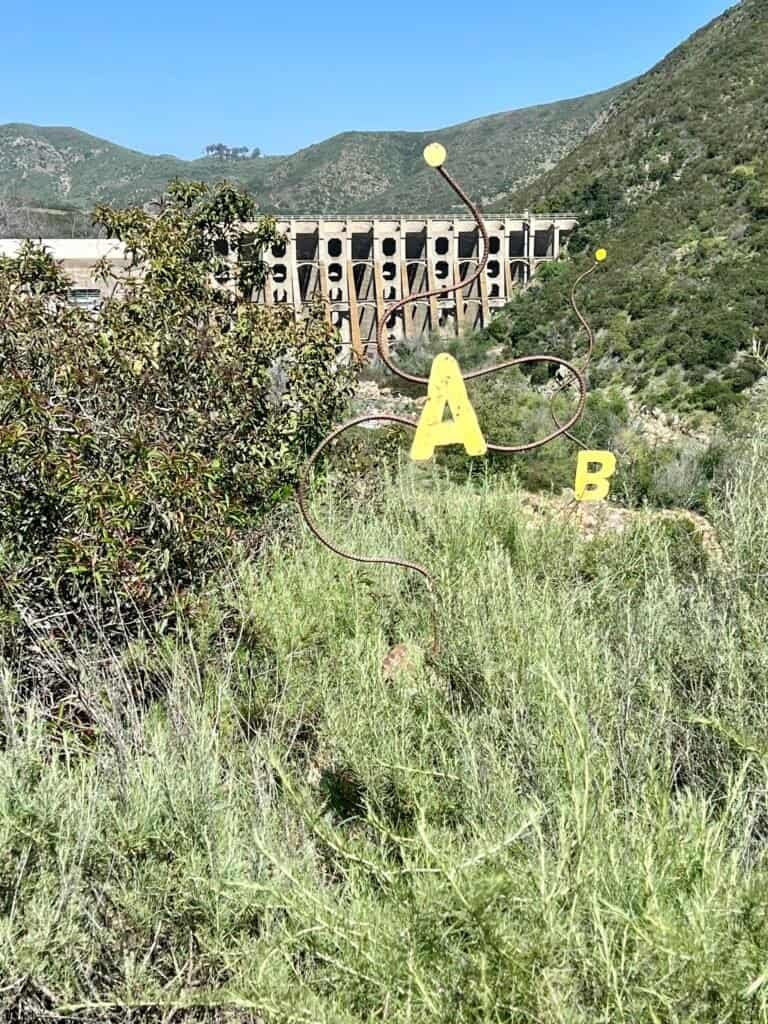
Rattlesnake Viewpoint: More Than a Name
Just past the dam sits Rattlesnake Viewpoint. Despite the name, this isn’t about spotting snakes. Instead, the viewpoint itself is built from native stone in the shape of one, curling along the hillside.
An interpretive panel explains why rattlesnakes matter to the ecosystem. Nearby, though, something else quietly steals your attention.

Photos: The Dam from Rattlesnake Viewpoint | About the local inhabitants
A charred black oak stands frozen in place — a stark reminder of past wildfires. Around it, green growth pushes back in. The contrast is impossible to ignore.
At the end of the “snake’s tail,” a pipe scope lines up with three markers. Look through, and you’re guided to specific features of the dam and river below. It’s simple, thoughtful, and surprisingly effective.


Photos: Charred Black Oak | The Pipe Scope
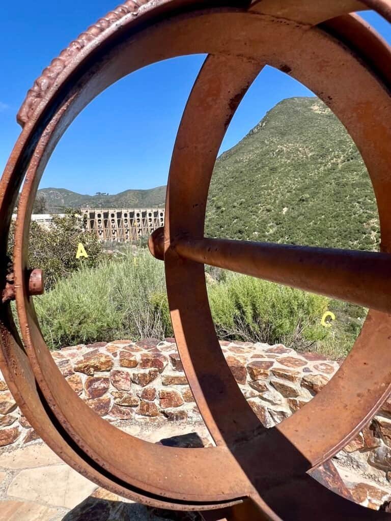
Photos: Looking through the Pipe Scope | The Markers
Dropping Into Del Dios Gorge
From there, the trail parallels Del Dios Highway before dipping into Del Dios Gorge. The shift is immediate.
Down here, oak woodlands and dense river vegetation close in. The trail feels quieter. More contained. Even with the road nearby, this stretch has its own rhythm.
At the same time, the contrast becomes clear. Above, burned trees and exposed hillsides. Below, thriving oaks and shaded ground. Destruction and recovery share the same trail.

Photos: Del Dios Gorge | The trail and highway running parallel

Photo: The beautiful gorge walls, along with a charred tree
A Rusted Mystery on the Trail
Then came the abandoned car.
Not the well-known Chevy Blazer that often gets mentioned online — this was a different vehicle entirely. Rusted. Crushed. Covered in layers of graffiti like some forgotten art project.
Naturally, questions followed.
How did it get here?
How long has it been sitting in the gorge?
Was it an accident, or was it left behind on purpose?
There are no answers. And somehow, that makes it better. The car now feels less like debris and more like an accidental installation — a rusted, spray-painted question mark quietly decaying along the trail.

Photo: The Mysterious Abandoned Car
The Turnaround — and the Bigger Picture
At the San Dieguito River crossing, I paused, took it in, and turned back. The hike felt complete — but the realization came later.
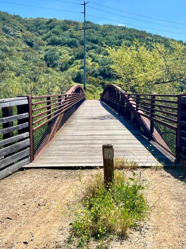
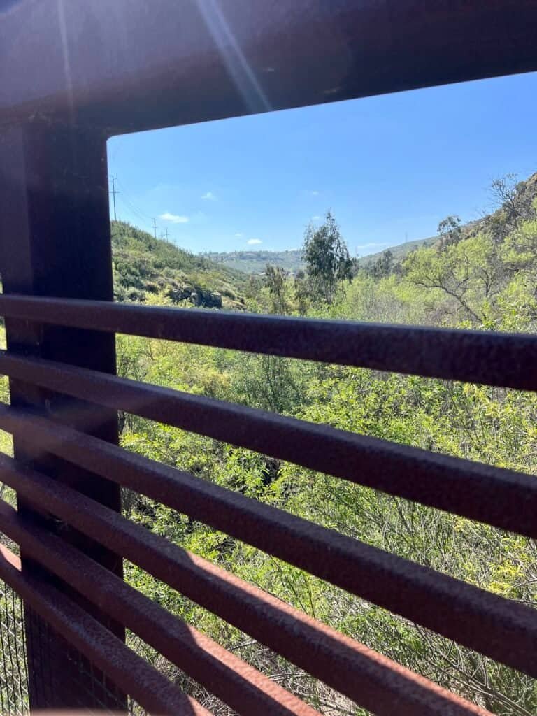
Photos: Del Dios Bridge | View from the Bridge
On a different day, on a different trail, I’d been standing high above this same landscape while hiking Elfin Forest. From near Olivenhain Reservoir, I’d looked down at Lake Hodges more than once. What I hadn’t realized then was that it was this Lake Hodges — the one I’d just spent hours circling.
The connection between the two isn’t obvious. You have to cross Del Dios Highway, pass through a neighborhood, and pick up a separate trailhead to climb from Lake Hodges up into Elfin Forest. Because of that, the relationship between the two places never really clicked.
This time, it did.
Suddenly, the map made sense. These hikes don’t exist in isolation. They overlap. They stack vertically. And sometimes, it takes walking the lower trail to finally understand the view from above.
Back Where It All Started
As I made my way back toward the car, thoughts of chips, salsa, and margaritas started calling my name.

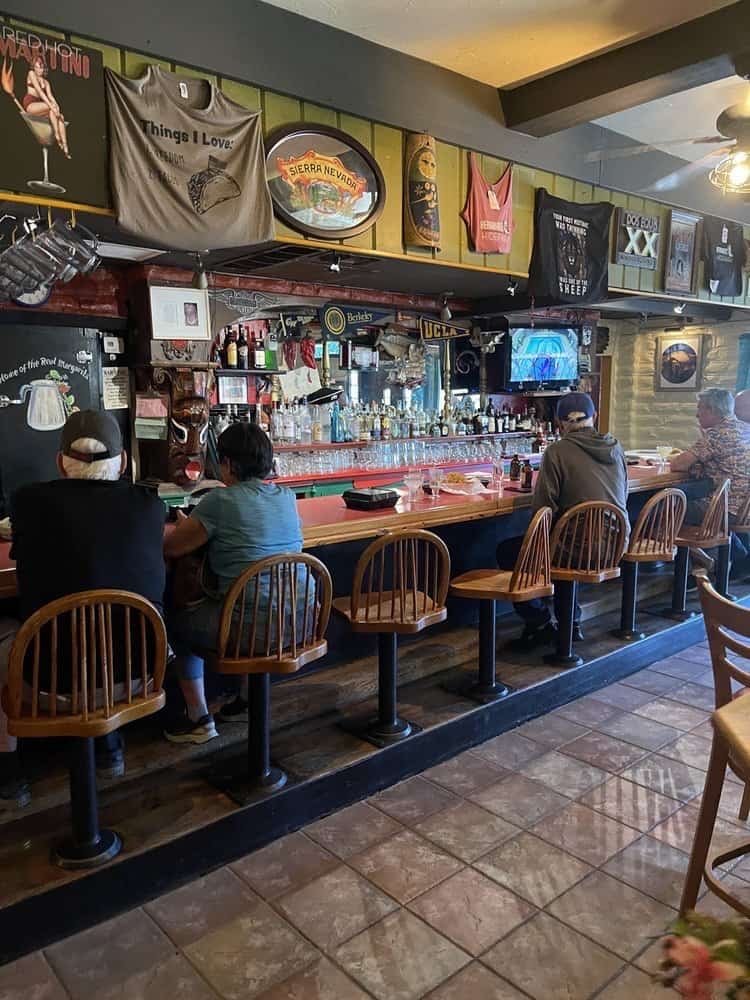
Photo: Inside of the Restaurant | The “Dive-ish” Bar
Lake Hodges isn’t dramatic. It doesn’t try to be. Instead, it offers layers — history, engineering, art, ecology, and a touch of mystery — all revealed at a relaxed pace.
Some hikes impress you immediately.
Others stay with you longer.
This one did both.
Catch you on the trail!
Date of Hike: 19 April 2024
Discover more from love cook adventure
Subscribe to get the latest posts sent to your email.
1 Pingback