At 3,213 feet, Mount Davis is the highest point in Pennsylvania, ranking #33 among U.S. state high points and my 6th overall.
This was my second high point of the day, following Hoye Crest in Maryland, and as I headed north the weather steadily improved—a welcome change after an earlier cloudy start.
Choosing the Route
The trailhead for Mount Davis is about 1 hour and 10 minutes north of Hoye Crest. Like many state high points, Mount Davis gives you options: you can drive nearly to the summit and check it off quickly, or you can earn it with a hike.
I opted for the Mount Davis High Point Trail, a straightforward 2.0-mile out-and-back with just 124 feet of elevation gain, taking about 45 minutes. If you have more time, there’s also a longer 5.7-mile loop through the Mount Davis Natural Area that gains about 820 feet and takes roughly 2.5 hours.
The trail itself was easy but rocky in spots and a bit muddy the day I hiked it. Finding the actual trailhead took more effort than expected—the parking area requires a short walk through a park before you reach the start, and cell service was spotty enough that pulling up AllTrails took some patience. As a point of reference: from the parking lot, face the park, head to the far right, turn slightly right, and walk uphill to the trailhead.
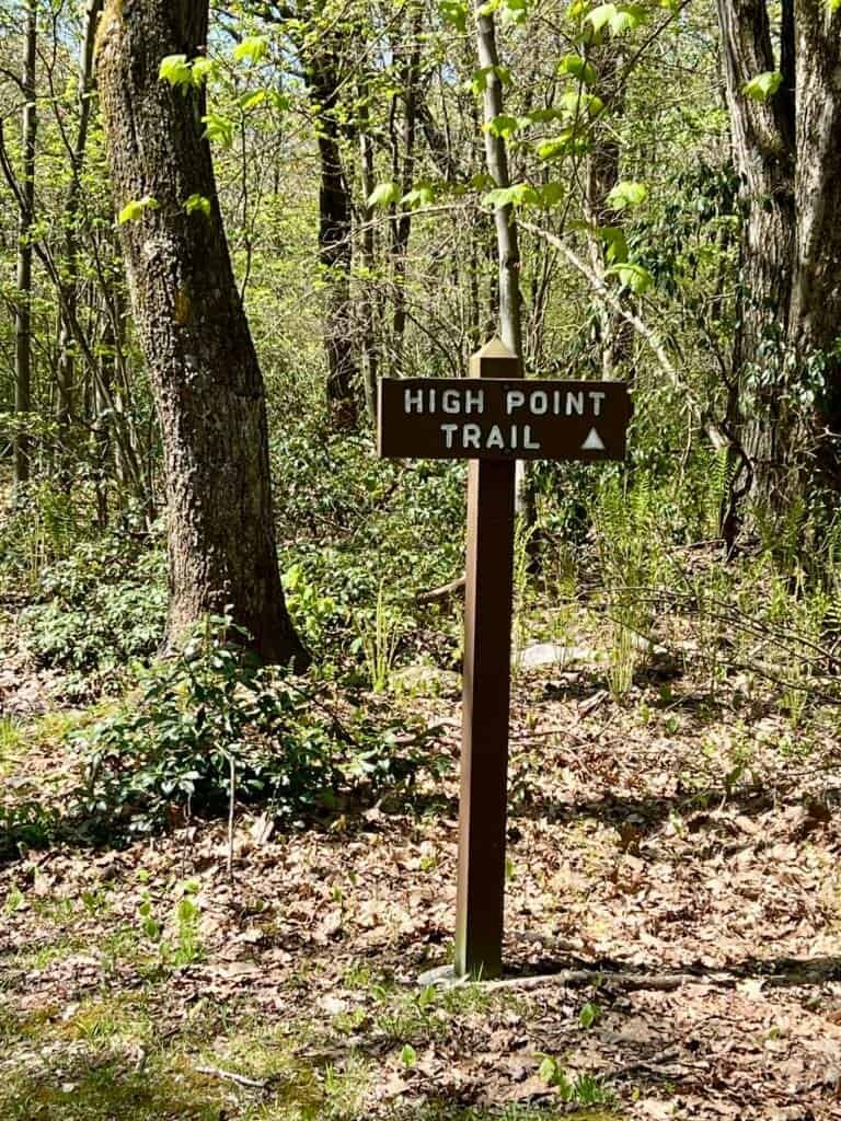
Photo: High Point Trailhead
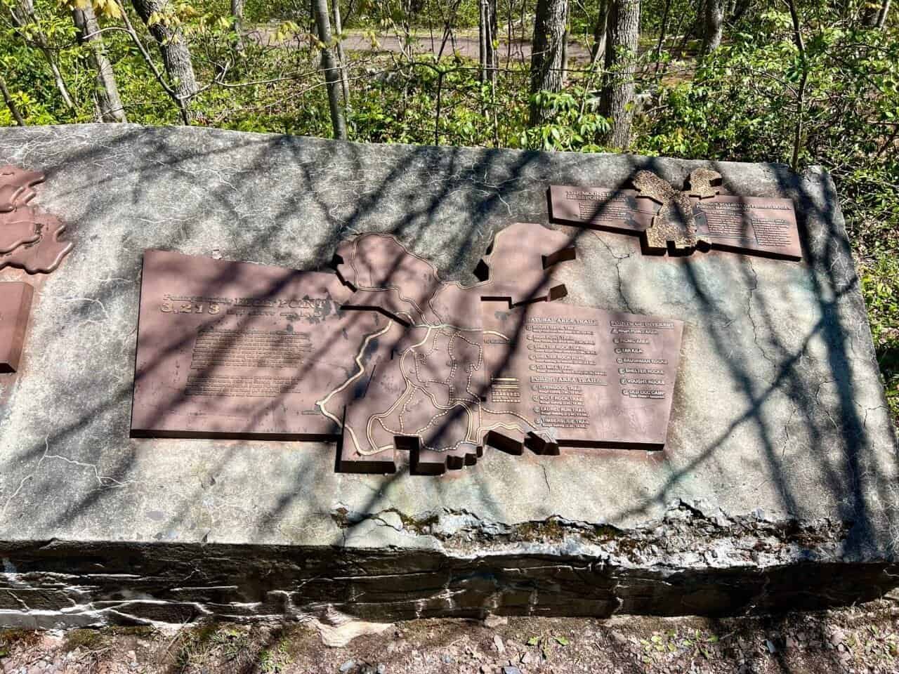
Once I reached the summit area, I found a plaque marking the high point and outlining the surrounding trails. A short walk toward the observation tower leads to a large boulder that holds the survey marker for the true summit.
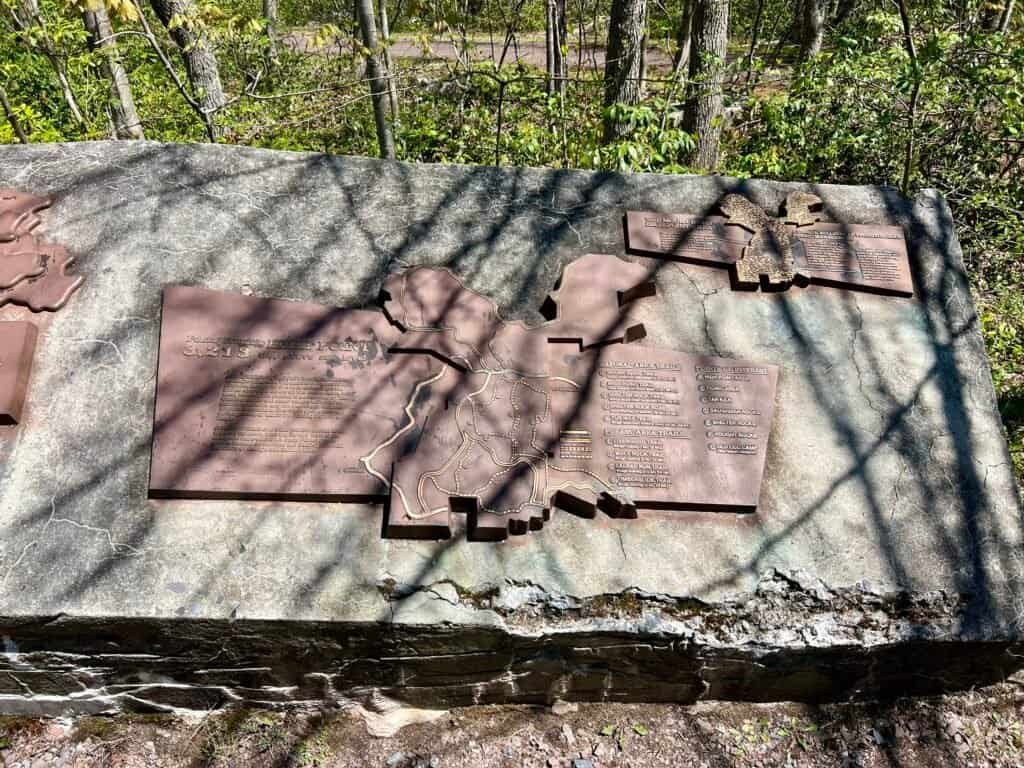
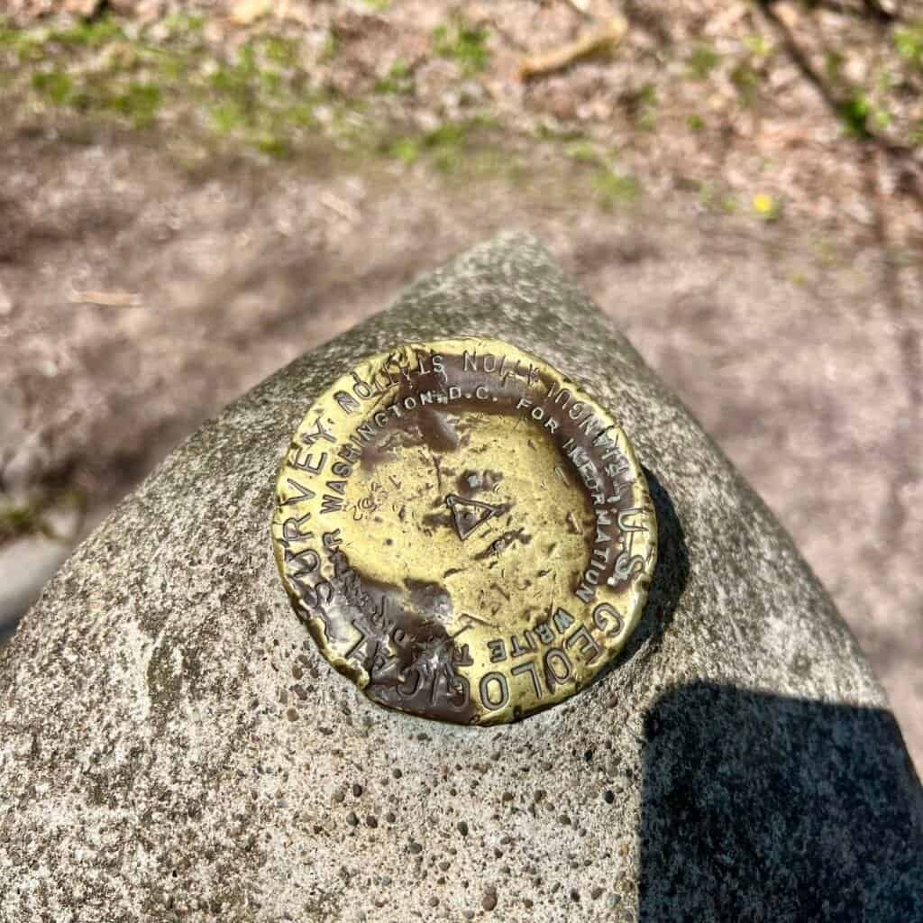
Photos: Mount Davis Plaque | Survey Marker
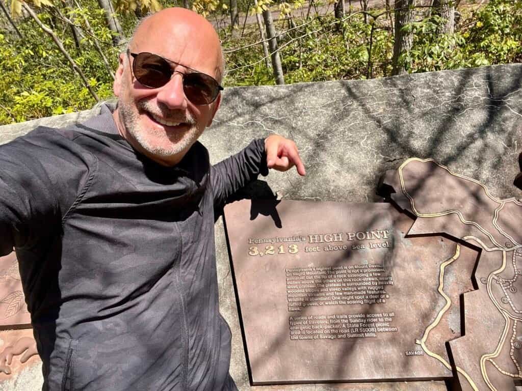
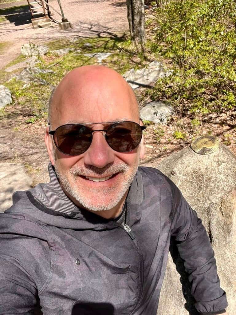
Photos: Me at the Mount Davis Plaque and then with the Survey Marker
At the top is an observation tower, which I attempted to climb. As many of you may or may not know, heights are not something I love—somewhat counterintuitive for someone trying to summit all 51 high points in the U.S. (including the District of Columbia). As you can see in the photos, the stairs are pretty open, and since I was alone without a hiking buddy for support, I did my best, making it to the fourth platform before deciding that was enough. Oh well—maybe next time.
When I got back down, a couple was sitting on a bench near the plaque. We started chatting, and I asked if they’d gone to the top of the tower. They said not all the way up. I mentioned I hadn’t either, and they asked if their kids had scared me. At that point, I was very glad I hadn’t gone higher—I hadn’t heard them and didn’t realize anyone was up there. With that said, it was a beautiful day, and the views from above were great.
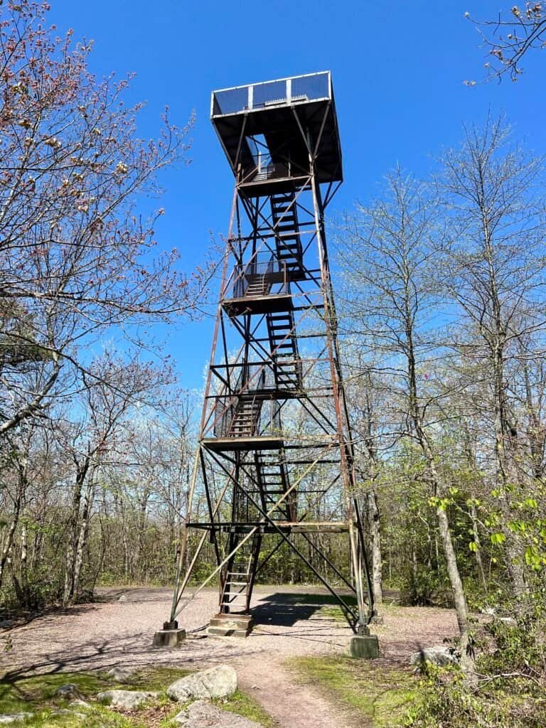
Photo: The Observation Tower
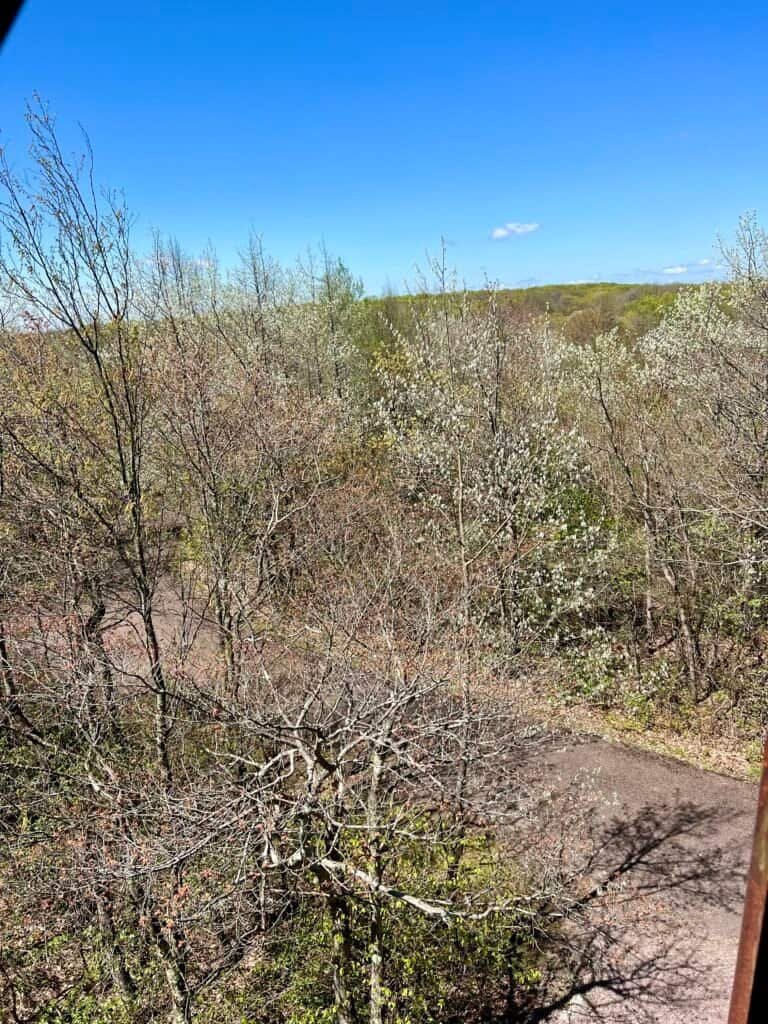
Photo: View from the highest point I went on the Observation Tower
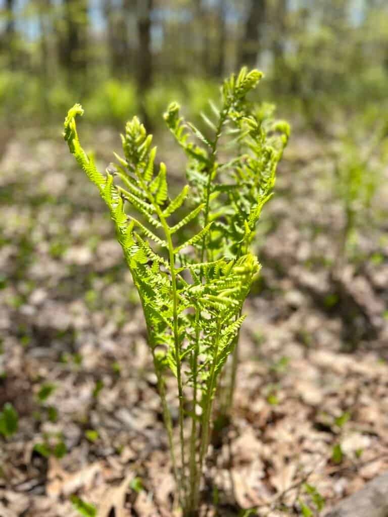
Photo: From the hike back down to the parking lot
Catch you on the summit!
Date of Visit: 17 May 2023
Discover more from love cook adventure
Subscribe to get the latest posts sent to your email.
Leave a Reply