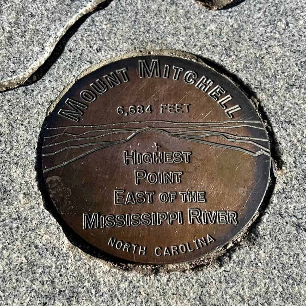
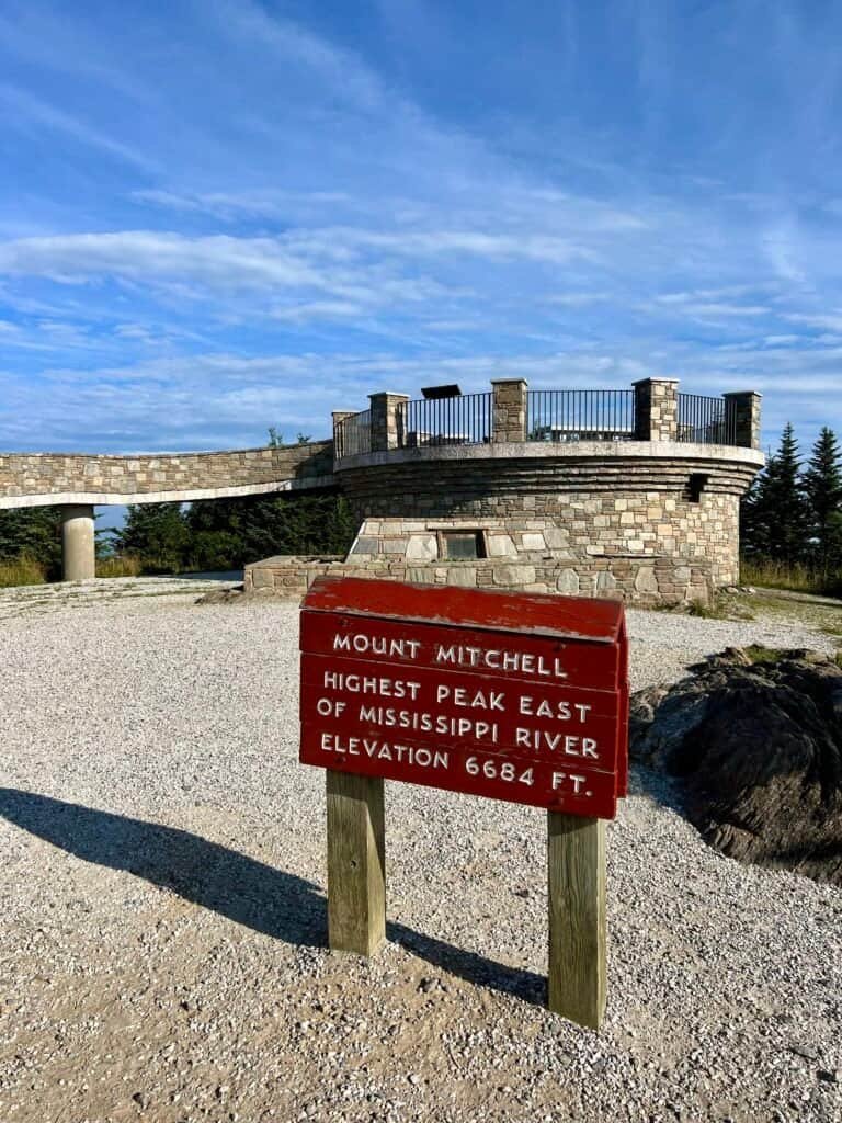
At 6,684 feet, Mount Mitchell stands as the highest point east of the Mississippi River — and, as a result, became my 20th state high point. Since it’s just outside Asheville, I stayed there the night before and set my alarm early, hoping to beat both the crowds and the afternoon haze that often rolls through these mountains.
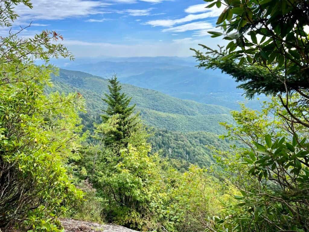
The drive alone was worth the early start. Leaving Asheville, I picked up the Blue Ridge Parkway — a stretch of road that feels both cinematic and nostalgic. My family drove large portions of it when I was growing up, and climbing out of the city brought back those memories fast. As the elevation increased, the views opened up in layers — ridge after ridge fading into blue.

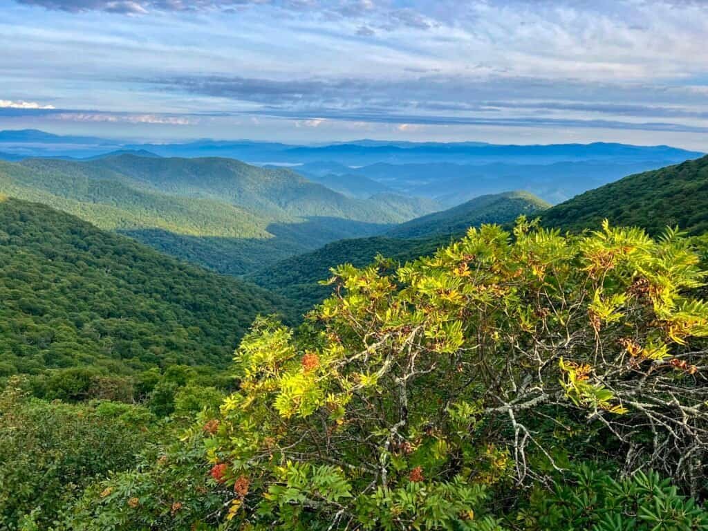
Photos: Amazing views along the Blue Ridge Parkway
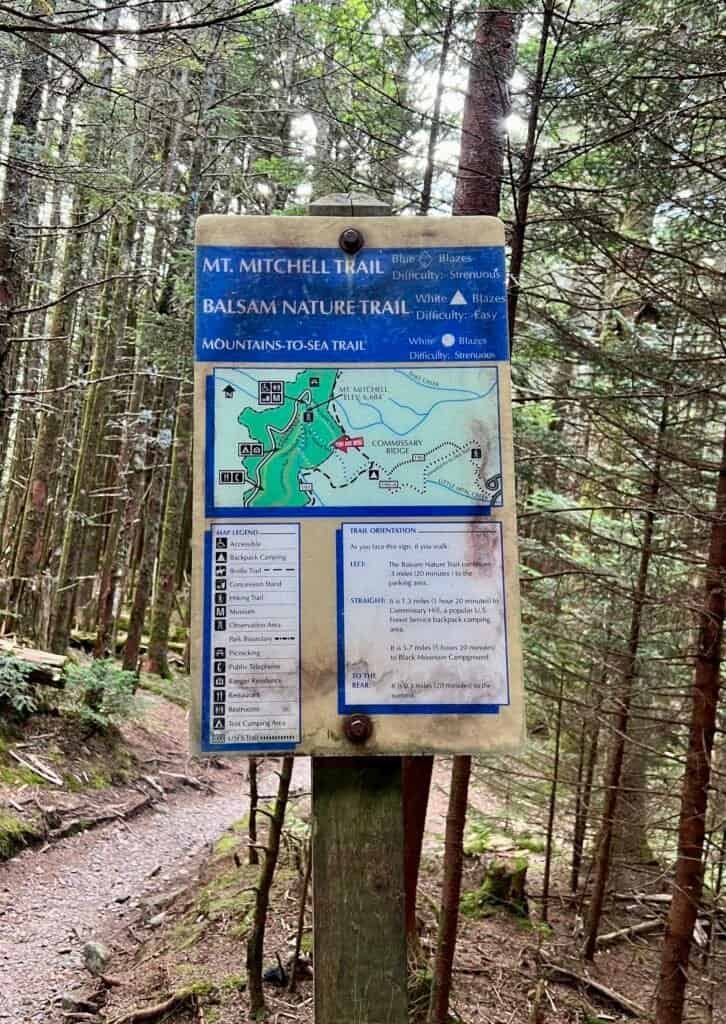
About Mount Mitchell
Located about 30 miles northeast of Asheville, Mount Mitchell sits within Mount Mitchell State Park and anchors the highest crest of the Appalachian Mountains. Named after Elisha Mitchell, the professor who first measured its elevation (and later died while confirming it), the mountain feels both historically significant and quietly wild.
There are no entrance or parking fees, which is always a pleasant surprise. The summit can be reached either by a strenuous hike or by a scenic drive, with short, accessible trails looping through a dense Fraser fir forest at the top. From here, a vast network of more demanding trails fan out into adjacent wilderness and connect with Pisgah National Forest.
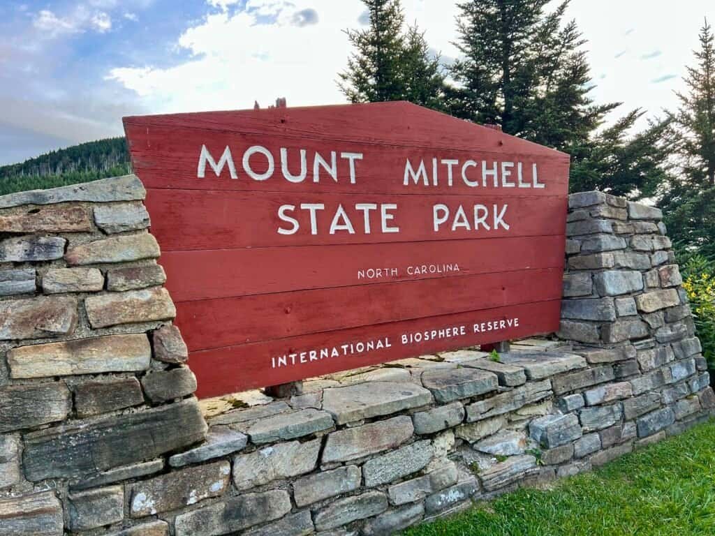
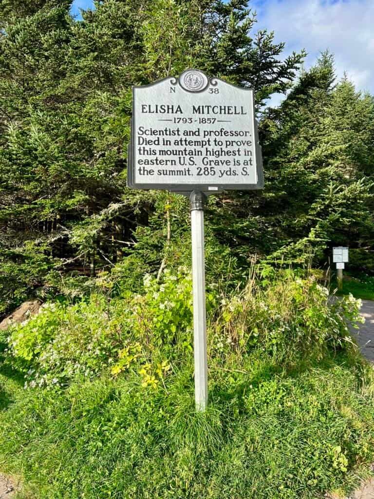
Photos: Entrance | Elisha Mitchell Historical Marker
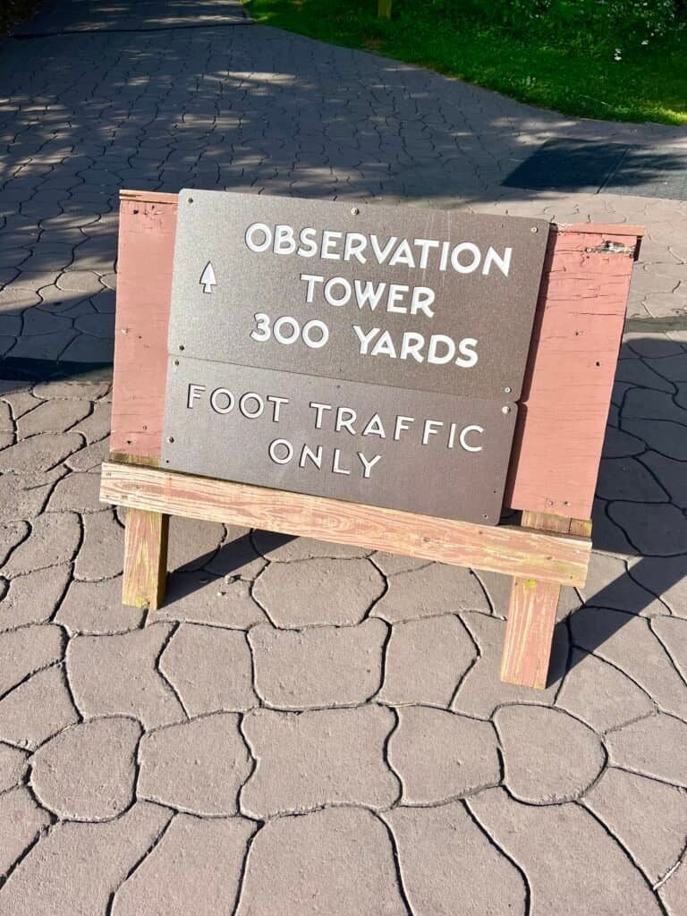
Another Easy Climb… (Sort Of)
Yes, in this case, I drove to the summit area and took the short 0.2-mile paved walk to the observation deck. Before anyone accuses me of cheating, I should clarify: this was after a 6-mile loop hike with 1,349 feet of elevation change, including a couple of rope-assisted sections. Balance, people.
When I arrived, the parking lot was nearly empty — always a win. I parked away from the bathrooms and concession stand, assuming I’d skip both. Ironically, I ended up circling back later and was genuinely impressed by the quality of the food. File that under unexpected summit surprises.
Summit box checked — it was time to head into the woods.

Photos: Empty Parking Lot – Concession Stand – Rest Rooms
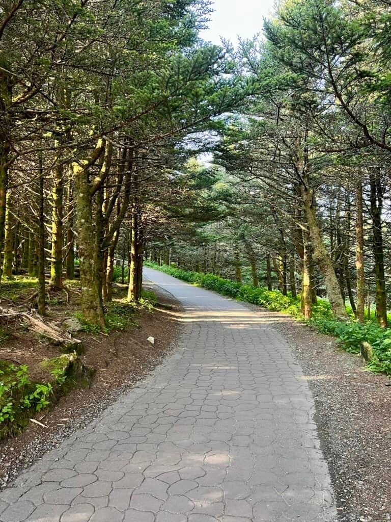
Photos: Walkway up to the Summit
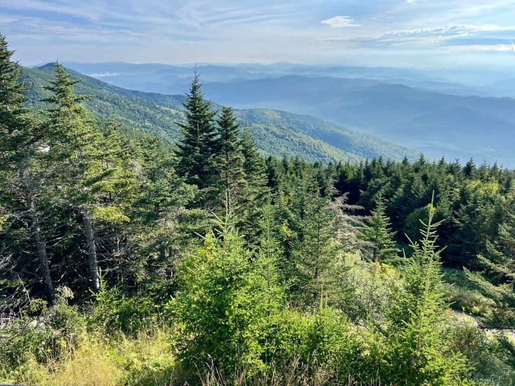
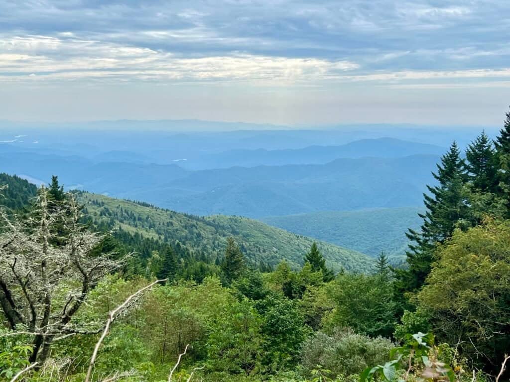
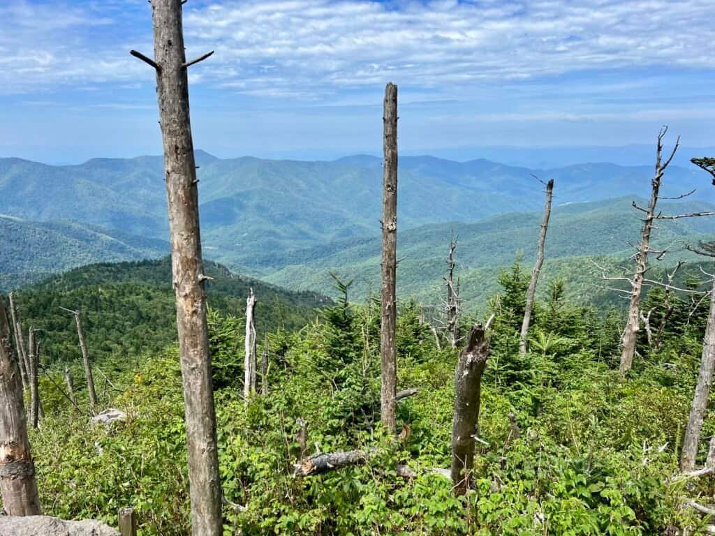
Photo: Morning view from the summit
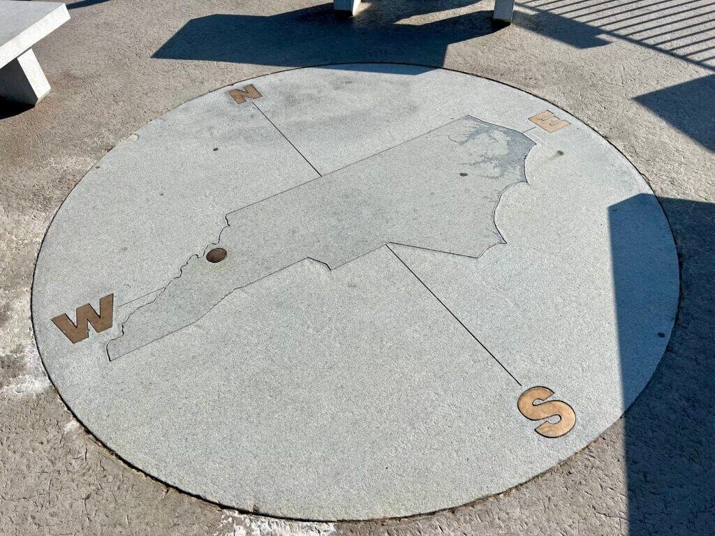
Photos: High Point Marker on Observation Tower (not the actual high point) | Compass Marker
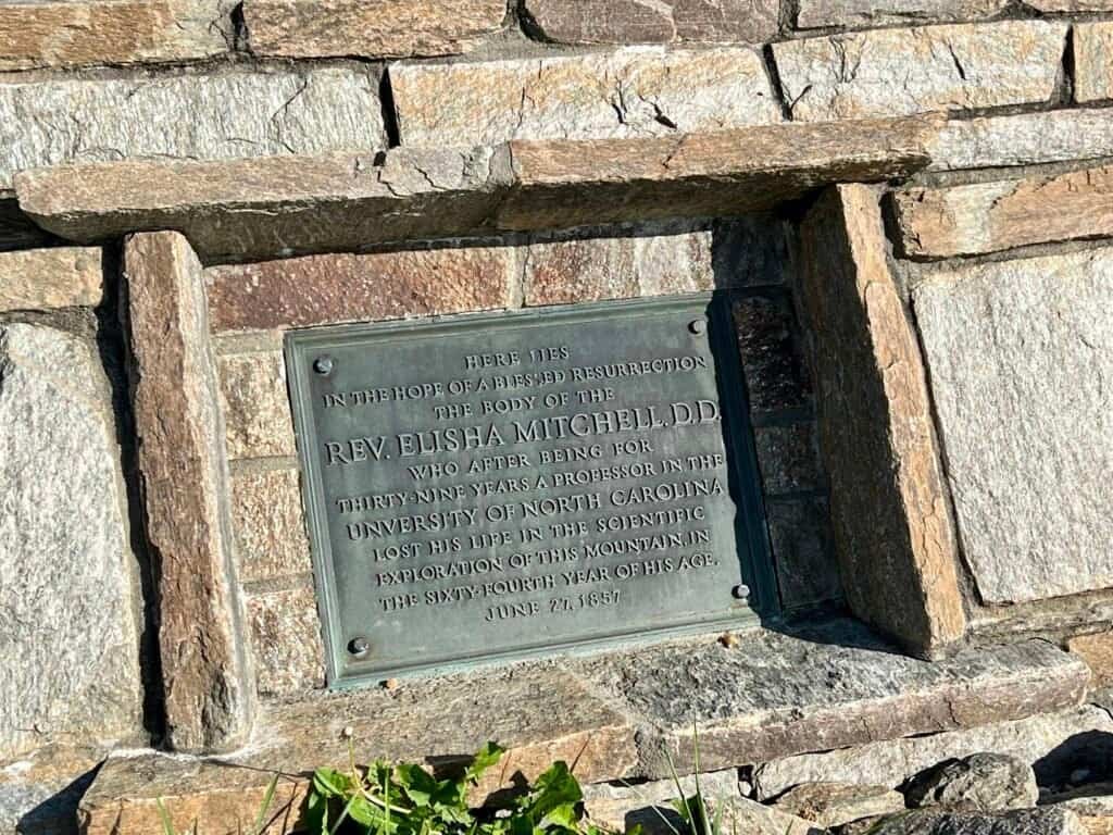
Photo: Historical Marker
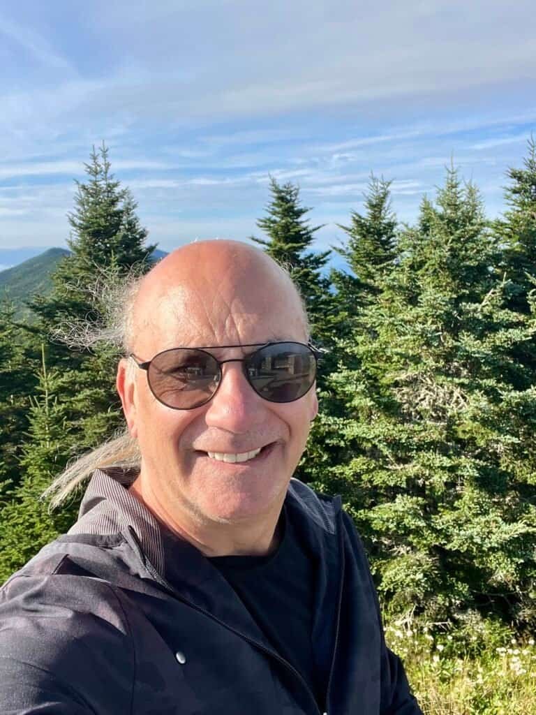
Photos: Summit Selfie | High Point and Observation Tower
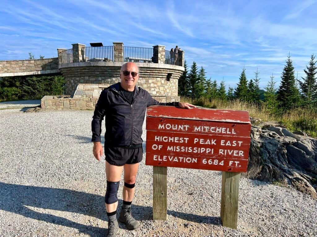
Photo: Me on the Summit
Ranger M. Blake (My New Trail BFF)
At the summit, I met Ranger M. Blake, who immediately earned “favorite ranger” status. I asked my usual questions — trail closures, best routes, wildlife concerns — and mentioned I planned to hike the “Mount Mitchell Loop.”
She laughed. Apparently, that’s an AllTrails invention, not an official trail name. Not my first time learning that lesson.
When I asked about bears, she casually pointed over the railing at some very fresh bear scat and explained that wild berries were attracting them to the area. Message received. Bear spray added to the mental checklist.
The Real Hike Begins
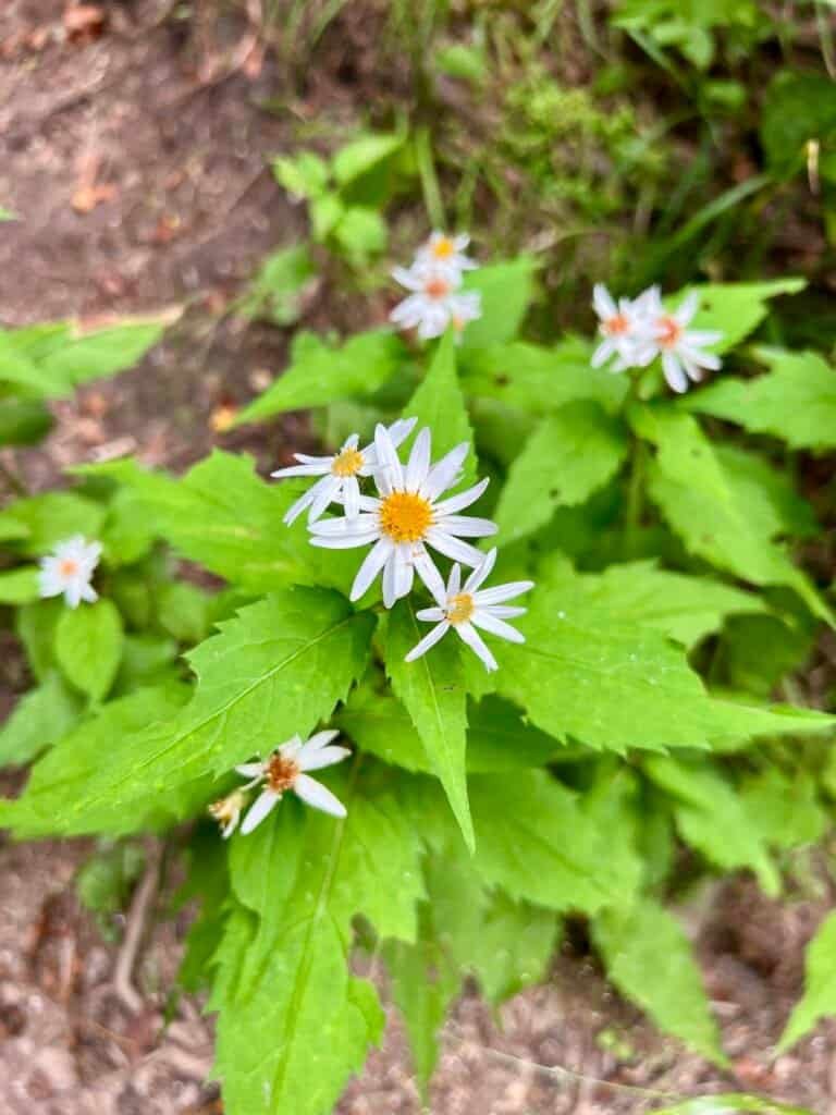
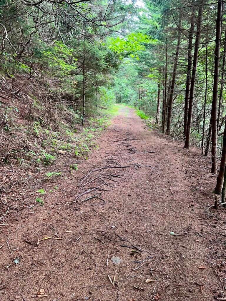
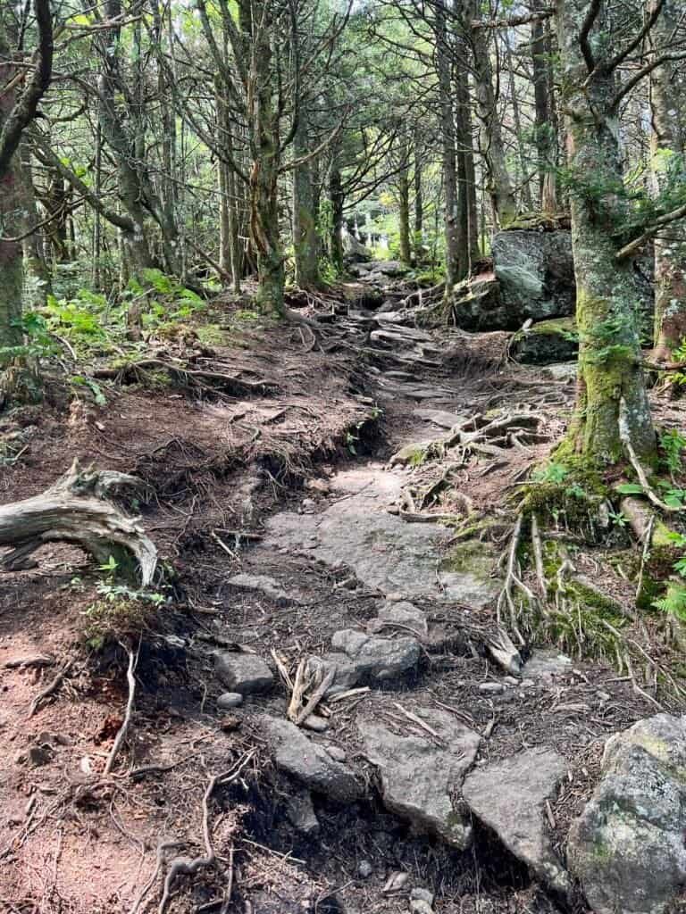
With the summit box checked, I then headed into the woods via the Balsam Nature Trail — where I promptly ran into Ranger Blake again, this time cataloging mushrooms and plant life. The trail is short, peaceful, and a great reminder that Mount Mitchell isn’t just about the views — it’s about the forest, too.

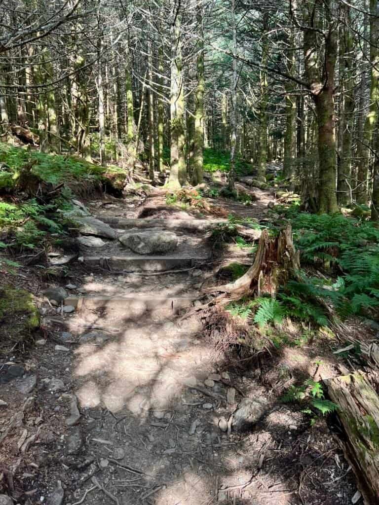
Photos: Balsam Nature Trailhead | Balsam Nature Trail
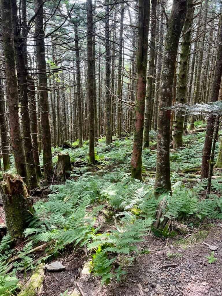
Photos: More of the Balsam Nature Trail
What Goes Down, Must Come Up
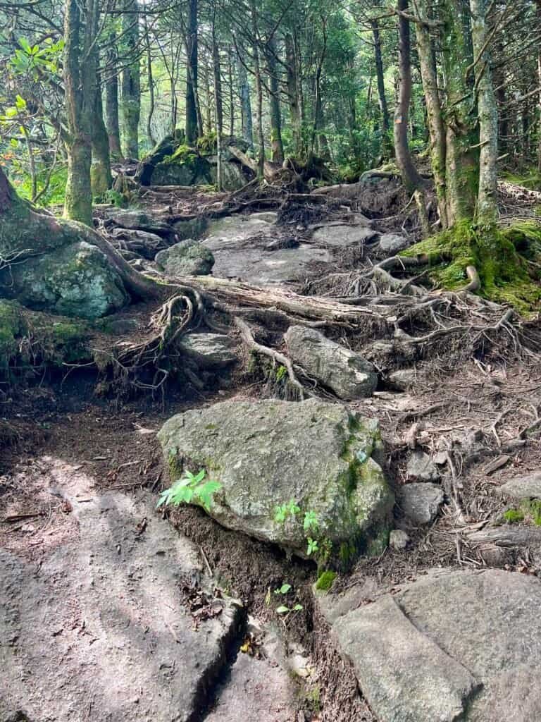
From there, the trail connects to the Mount Mitchell Trail, dropping steadily toward the Commissary Hill Primitive Campsites. The downhill stretch was beautiful… and mentally taxing. Every step down came with the reminder that I’d be earning it later.
Eventually, the trail links up with the Buncombe Horse Trail, a wide and relatively flat 2.3-mile traverse that wraps around the mountain.
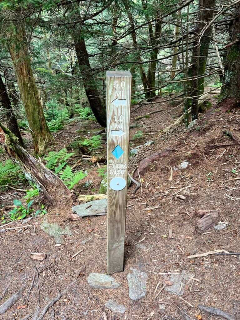
Photos: Well-marked trail signage with distance and elevation
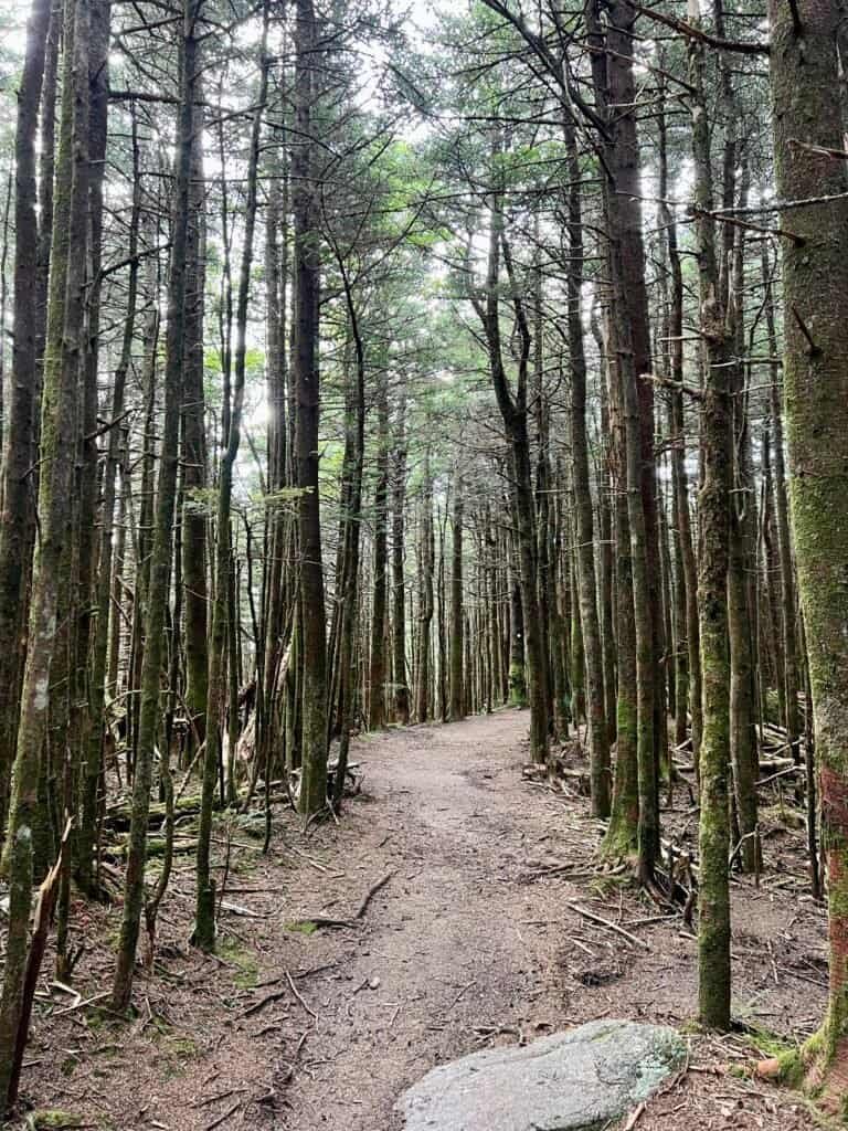
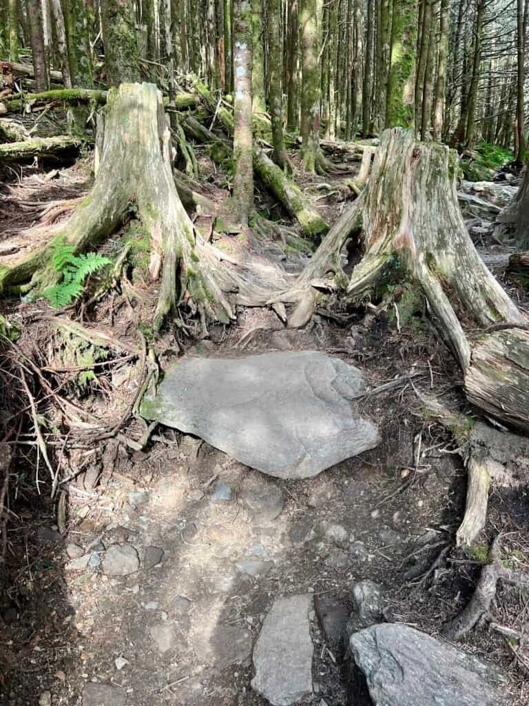
Photos: Along the Mount Mitchell Trail
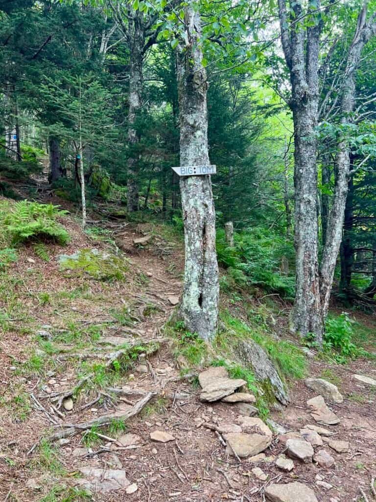
Big Tom Makes an Appearance
Then came the sign: Big Tom →
That arrow points straight uphill. The Big Tom Spur (Trail 191A) climbs 0.4 miles at a no-nonsense grade — pure cardio. At the top, it connects with the Deep Gap Trail, marked by orange blazes, which links Big Tom, Mount Craig, and eventually returns to Mount Mitchell.
Photos: Buncombe Horse Trail | Views along the Buncombe Horse Trail
Photos: Trail 191A to Big Tom | Views from the climb
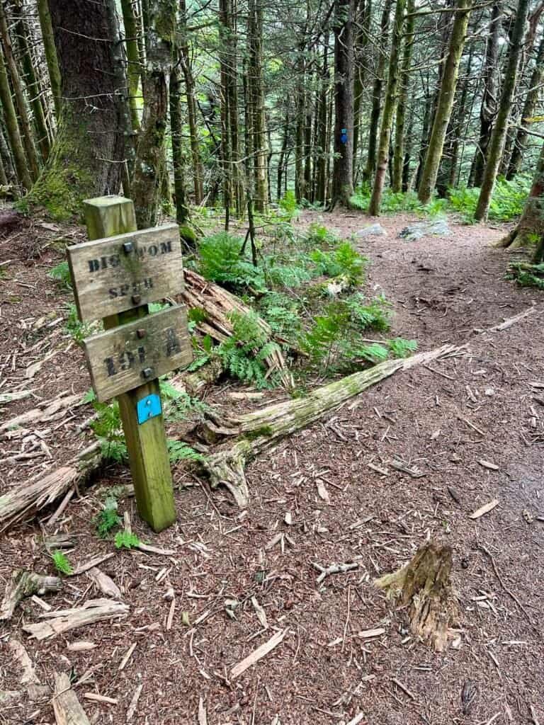
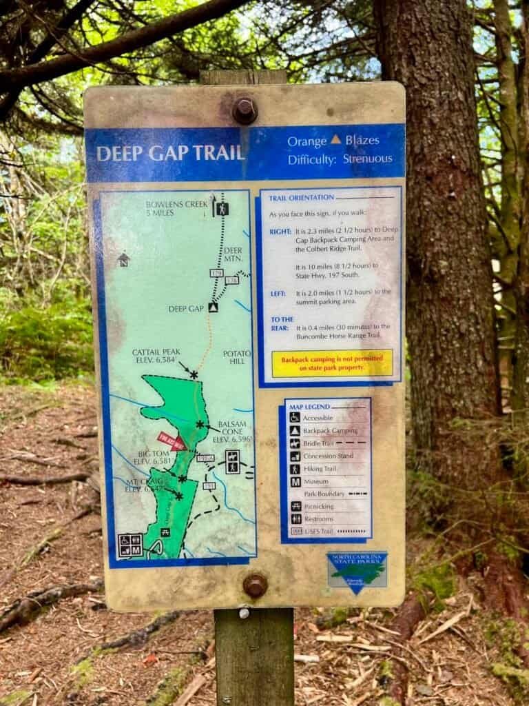
Photos: Top of Trail 191A | Deep Gap Trail marker
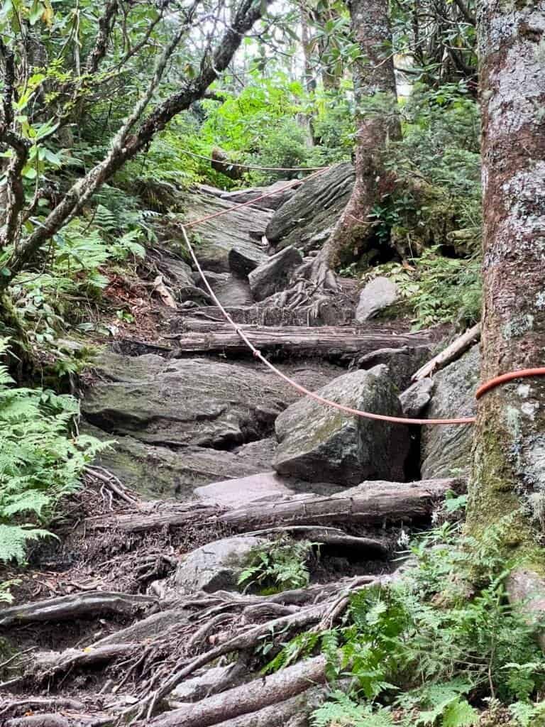
Don’t Believe All the Hype
By contrast, I’d read plenty of warnings about the Deep Gap Trail — specifically the rope-assisted sections. I won’t pretend they aren’t steep, but for anyone comfortable with moderate scrambling, they’re very manageable. I was glad I tackled them going uphill; watching hikers descend confirmed I’d made the right call.
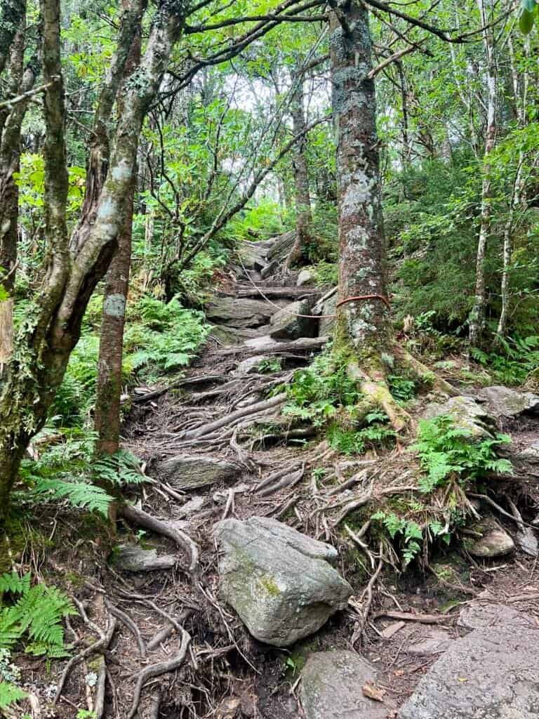
Photos: First rope section

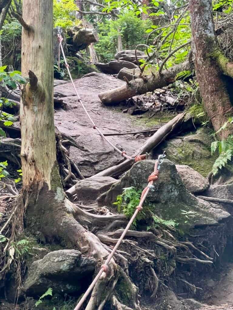
Photos: Second rope section
Photos: Final ascent to Big Tom
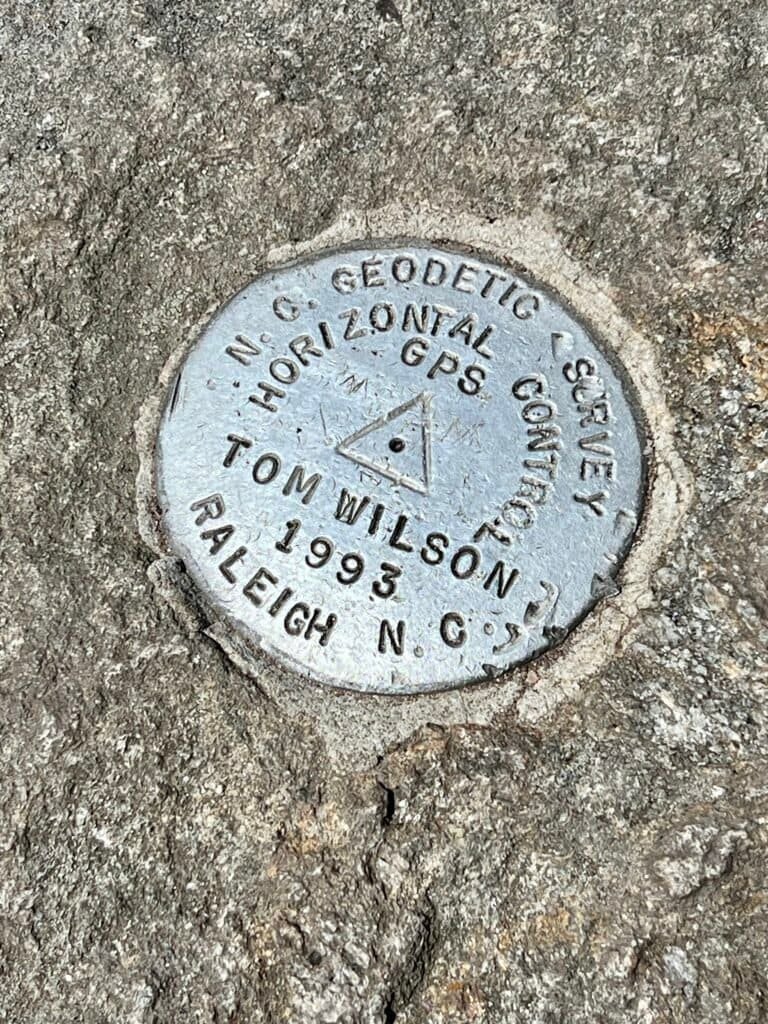
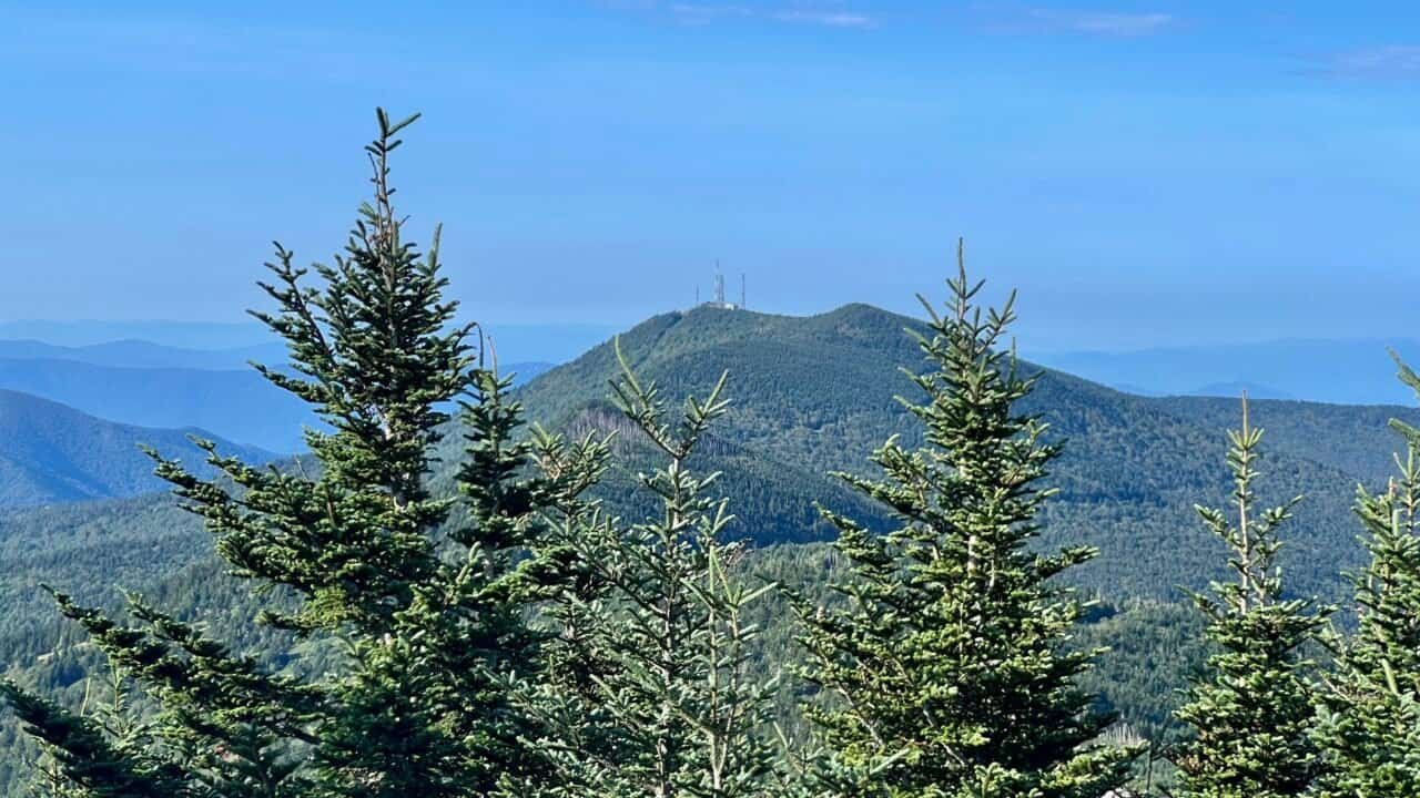
Photos: Views from Big Tom | Geo Survey Marker
Big Tom, Then Mount Craig
Big Tom’s summit is marked by both a historical plaque and a geodetic survey marker, tucked just beyond it. From there, it’s a short but rolling hike to Mount Craig, which delivered some of the best views of the day. A cluster of hikers had claimed the boulder field for lunch, and honestly — fair choice.
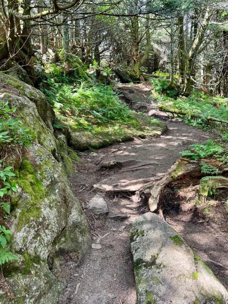
Photo: Trail from Big Tom to Mount Craig

Photo: Mount Craig Historical Marker
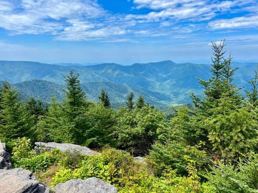
Photo: Lunch views from Mount Craig
One Last Push
From there, leaving Mount Craig, the trail trends uphill again, finishing with a steep staircase that leads back toward Mount Mitchell. It’s a solid final effort — but the payoff, as usual, is worth it.
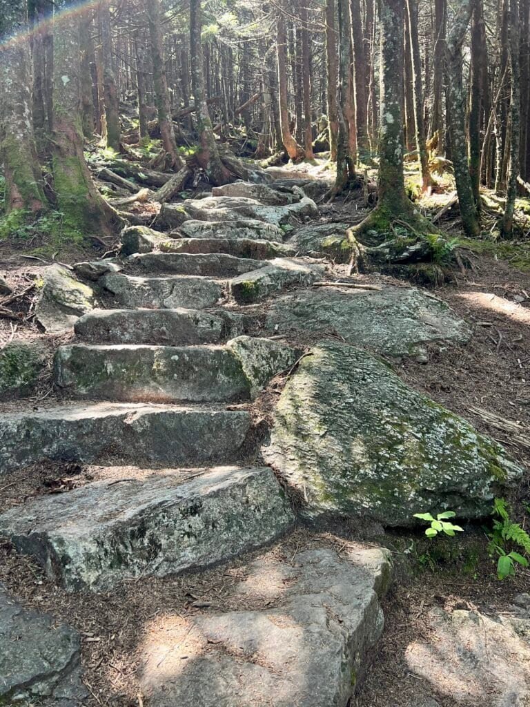
Photos: Final uphill section of trail
Definitely Not a Stalker
Before heading out, I made one last stop at the summit for a different angle of light. As it turned out, I ran into Ranger Blake again. I promise this was coincidence — I just wanted to thank her for the exceptionally well-marked and maintained trails.
We hear plenty of complaints in life. I try to offer gratitude when it’s earned.
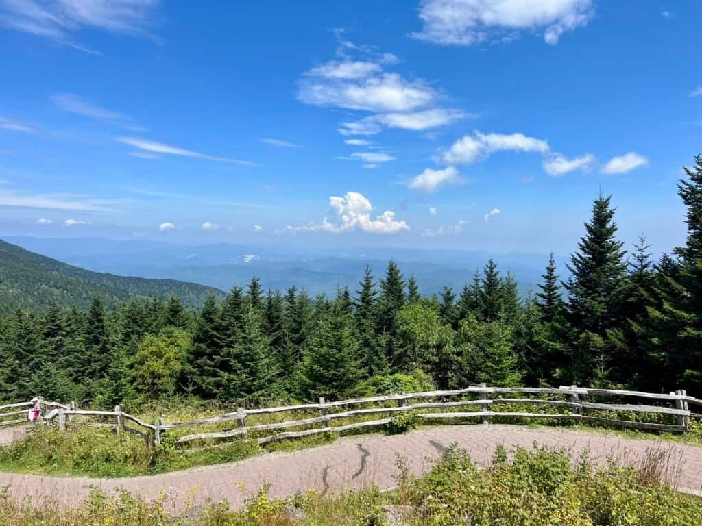
Photo: One last look before heading back down
In the end, Mount Mitchell delivered — history, views, real hiking, and a reminder of why I love this part of the country.
Next up, I traded mountains for the coast — headed to the beach at Myrtle Beach State Park.
Catch you on the summit!
Date of Visit: 26 August 2023
Discover more from love cook adventure
Subscribe to get the latest posts sent to your email.
3 Pingbacks