sharing my love for philanthropy, cooking, and adventure

Sunrise illuminating the summit glacier on Mount Kilimanjaro, with ice formations in the foreground and a sea of clouds in the background.

Tag: High Pointers

Mount Davis high point marker and trail map showing Pennsylvania’s highest elevation at 3,213 feet

Mount Davis | Pennsylvania (#6)

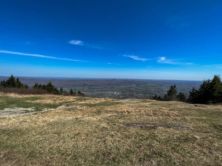
At 3,213 feet, Mount Davis is the highest point in Pennsylvania, ranking #33 among U.S. state high points and my 6th overall.

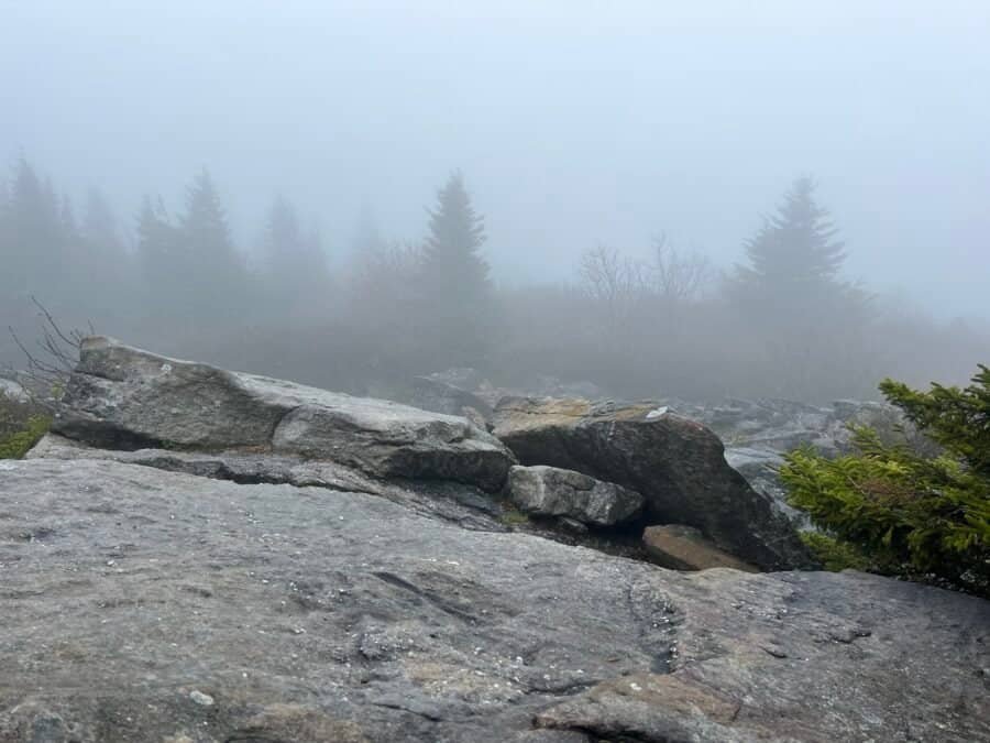
This was my second high point of the day, following Hoye Crest in Maryland, and as I headed north the weather steadily improved—a welcome change after an earlier cloudy start.

View from Hoye Crest on Backbone Mountain showing forested hills along the Maryland and West Virginia border

Hoye Crest | Maryland (#5)

At 3,360 feetHoye Crest is the highest point in Maryland, ranking #32 among U.S. state high points and my 5th overall.

Located on Backbone Mountain near the West Virginia border, Hoye Crest is a relatively straightforward hike—but one that comes with a few interesting quirks along the way.

Foggy summit at Spruce Knob in West Virginia with rocks and spruce trees fading into mist at the state’s highest point

Spruce Knob | West Virginia (#4)

At 4,863 feetSpruce Knob is the highest point in West Virginia, ranking #24 among U.S. state high points and marking my 4th overall.

Located within both the Monongahela National Forest and the Spruce Knob–Seneca Rocks National Recreation Area, Spruce Knob can be reached either by a long hike or by driving nearly to the summit—an option that proved useful on my visit.

Summit view from Mount Frissell showing rolling hills and forested landscape near the Massachusetts and Connecticut border

Mount Frissell | Connecticut (#3)

At 2,380 feetMount Frissell marks the highest point in Connecticut, ranking #36 among U.S. state high points and becoming my 3rd overall.

Unlike many state high points, Mount Frissell is reached via a multi-state hike, with the trailhead located just across the border in Massachusetts. Add in rocky scrambles, border crossings, and rewarding views, and this turned out to be one of the more memorable early summits on my list.

Panoramic View from High Point, New Jersey

High Point | New Jersey (#2)

At 1,803 feetHigh Point is the highest point in New Jersey, ranking #40 among U.S. state high points and marking my 2nd overall.

Located within High Point State Park, near the New York–New Jersey border just southeast of Port Jervis and I-84, this summit is one of the most accessible high points in the country. After hiking Mount Greylock in Massachusetts, “summiting” High Point felt like a bit of a cheat—you park and walk roughly 700 feet to the monument.

View from the summit of Mount Greylock, the highest point in Massachusetts

Mount Greylock | Massachusetts #1

The Start of My State High Point Journey

At 3,491 feetMount Greylock is the highest point in Massachusetts, ranking #31 among U.S. state high points and marking my first official summit in the journey to visit the highest point in every U.S. state and the District of Columbia.

Located in the Berkshire Mountains of western Massachusetts, Mount Greylock stands apart from many state high points in that it’s a true hike—and, on a clear day, offers views into five states. I tackled this inaugural summit alongside my sister, Vicki, making it an especially memorable start to the adventure.

Page 4 of 4

Powered by WordPress & Theme by Anders Norén