My Highest U.S. High Point: It Tested Me
At 13,161 feet, Wheeler Peak is the highest point in New Mexico, ranked #8 among all U.S. state high points and my own #36. I’ve climbed higher mountains before, Kilimanjaro twice and a few peaks in the Alps—but Wheeler is still my highest U.S. high point so far. Even with those bigger summits behind me, I felt this one. On paper, it’s an 8.7-mile round-trip with 2,972 feet of gain, but altitude has a way of making even simple numbers feel different. With an average of 683 feet gained per mile, Wheeler demands a slow, steady kind of grit.
What surprised me most wasn’t the altitude or the trail; it was how mentally challenging this climb became for me.

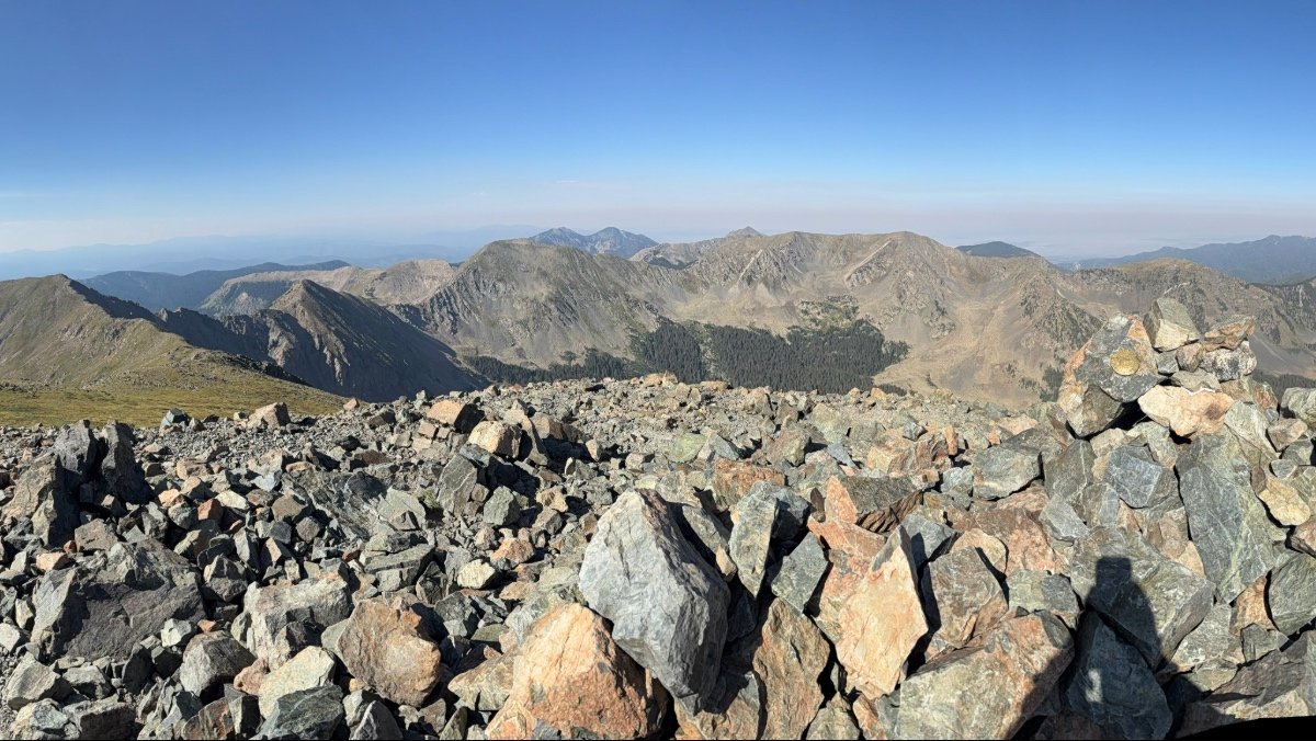
Photo: Summit views from Wheeler Peak at 13,161 feet.
The Hunt for a Room and the Casino Trick
Hotels were oddly hard to come by, or at least at anything close to a reasonable rate. I considered camping, as there were a few campgrounds along NM 150 (the road into the ski resort), but with an early morning and because I was headed to Colorado after my hike, I didn’t want the hassle of setting up and breaking down a campsite. Then I remembered my go-to trick: casino hotels. They’re almost always affordable, almost always available, and they always have one essential thing – free coffee at 4 a.m.
I booked the Ohkay Hotel Casino, tucked between Santa Fe and Taos, still an hour and a half from the trailhead. At 4:30 a.m. I was up, pouring myself a huge cup of that casino coffee, and heading north into a gorgeous New Mexico morning.
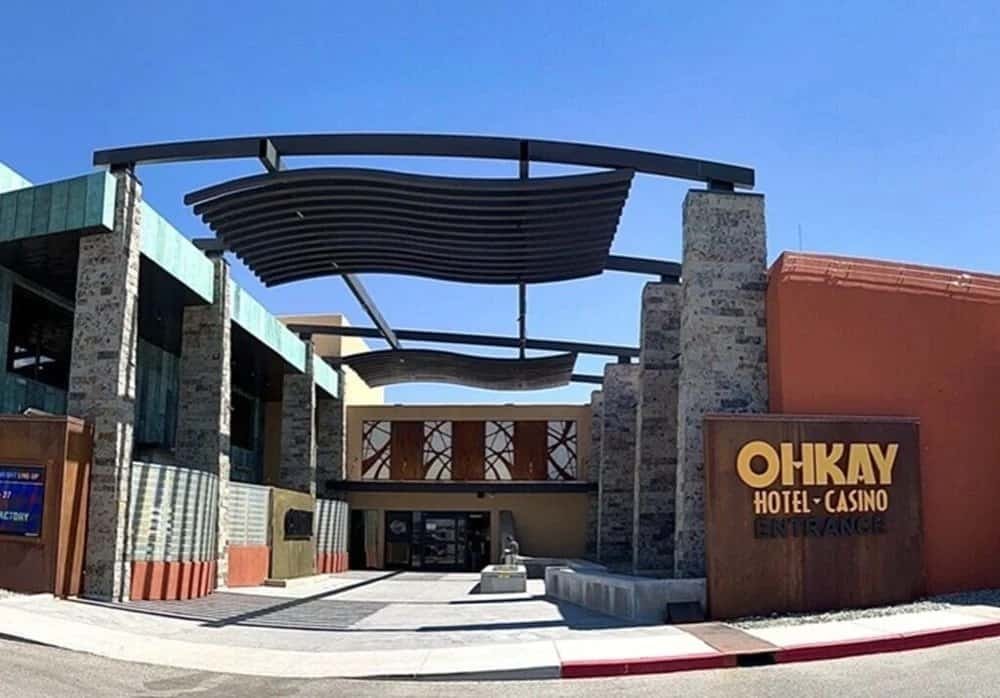
Photos: Ohkay Hotel & Casino: All a hiker needs – a bed and 4 a.m. coffee.
The Road That Gets Progressively Worse
The drive to Taos Ski Valley starts easy – smooth pavement, soft sunrise, no traffic. Then, once you reach the main ski resort parking lot, the road turns into a slow-motion obstacle course: pavement → dirt → potholes → steeper dirt → why-is-this-taking-so-long dirt.
Suddenly the GPS’s long ETA made sense.
I parked among just a handful of early cars, made a quick stop at the vault toilet, layered up, and started out. The trail begins more like a path alongside the road toward the ski lift – not clearly marked as “the trail,” but it looked like the right direction, so I followed it upward.

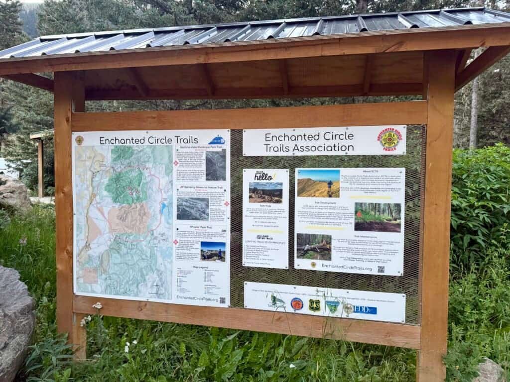
Photos: Vault Toilet | Trail Information Board
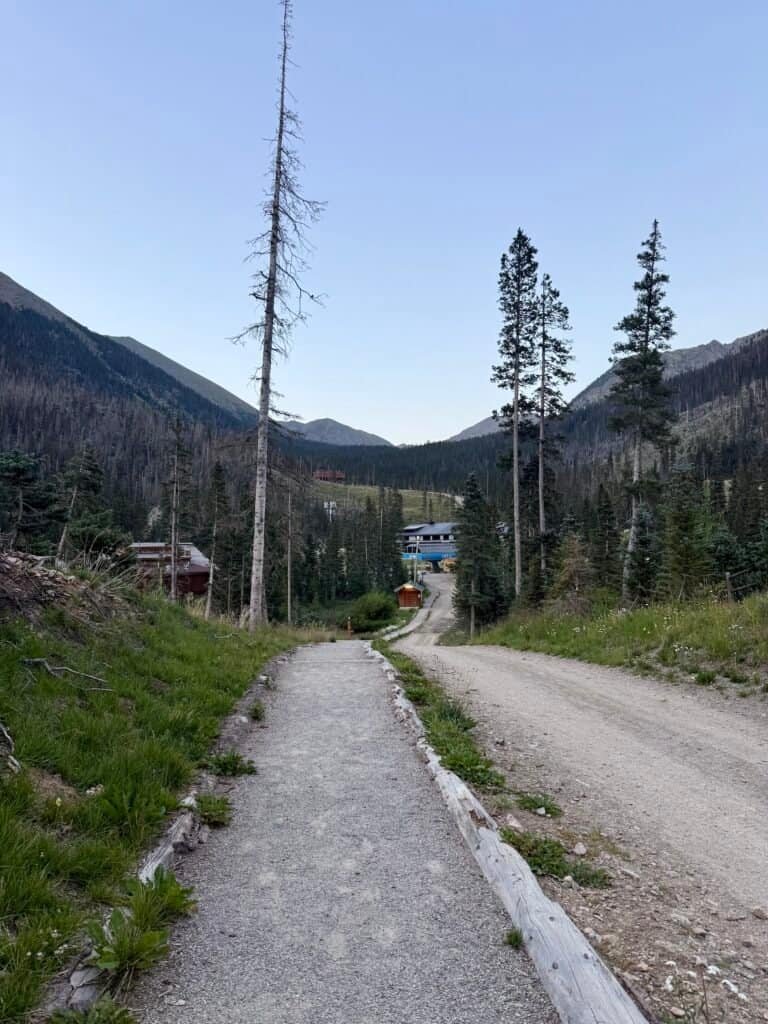

Photos: Path from Parking Lot to the Ski Lift | Trail Marker along the Path
Finding the Trail (Eventually)
The trail officially starts just above the ski lift, but with no obvious signs—maybe the coffee hadn’t kicked in yet, or maybe it was the altitude—I just kept heading up the road. A bit past the lift, I spotted a small sign on the ground with a pink arrow pointing toward Williams Lake, the first major destination for most hikers. That’s where the real trail begins.
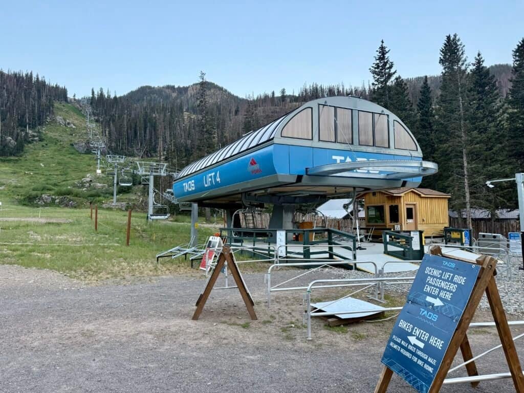
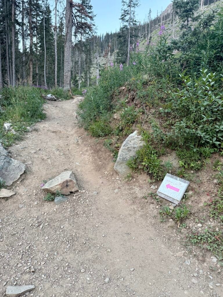
Photos: The Ski Lift where I didn’t find the trail | Found the Trail!
As the sun hit the surrounding peaks, the massive boulder field beside the trail lit up in warm gold. There’s something special about hiking early—quiet, peaceful, and calm.


Photos: Boulder field near the start of the trail |
Glowing ridge in the early morning light
I reached the 1-mile Wheeler Peak Wilderness sign in about 26 minutes, taking my time to acclimate. At 1.6 miles, I got a great view of the basin opening up. At the 2-mile mark (around 59 minutes), I reached the trail split between Williams Lake and Wheeler Peak. Most hikers head to the lake. I turned toward the summit.


Photos: Trail Markers: Wheeler Peak Wilderness Sign |
Split for the Summit and Williams Lake
Above Treeline: Where the Real Work Begins
Up to the split, the hike is steady and manageable. About thirty minutes after turning onto the summit trail (just under a mile), you reach an incredible overlook where you can see Williams Lake from above. I’d read that the lake was worth the detour, and I mentally bookmarked it for the descent, assuming I still had the energy.

Photo: Overlooking Williams Lake from the Trail
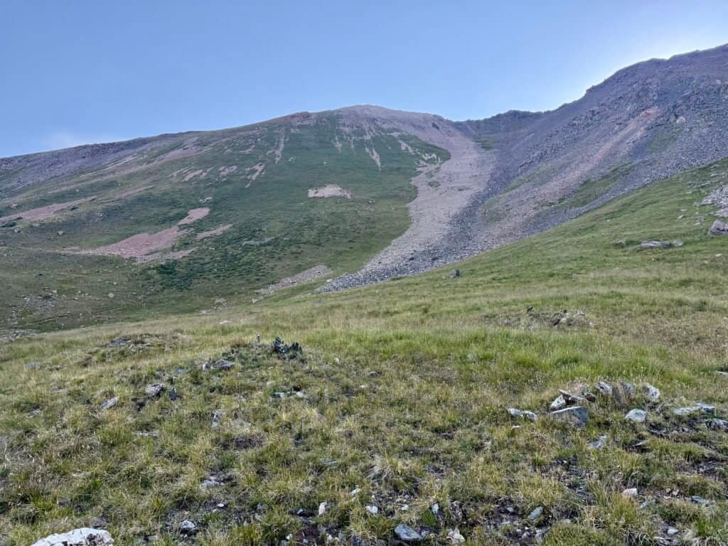
Shortly after that viewpoint, the trees thin out and disappear entirely. The trail shifts into barren mountainsides, sharp ridgelines, and every remaining foot of elevation laid out in front of you.
This is where altitude starts playing its mental games.

Photos: The peaceful meadows right before the mountain starts questioning your life choices.
My breathing got shallow, my legs heavy, and I had to stop often just to reset. But I kept eating, drinking, and pushing – small goals at a time. A switchback. A ridge. A few hundred feet. Repeat.
A mile short of the summit, the hike shifted from physical to mental. This was the moment I questioned whether I had the energy to finish. I reminded myself why I was there – #36, my highest peak yet, a challenge I wanted to conquer.
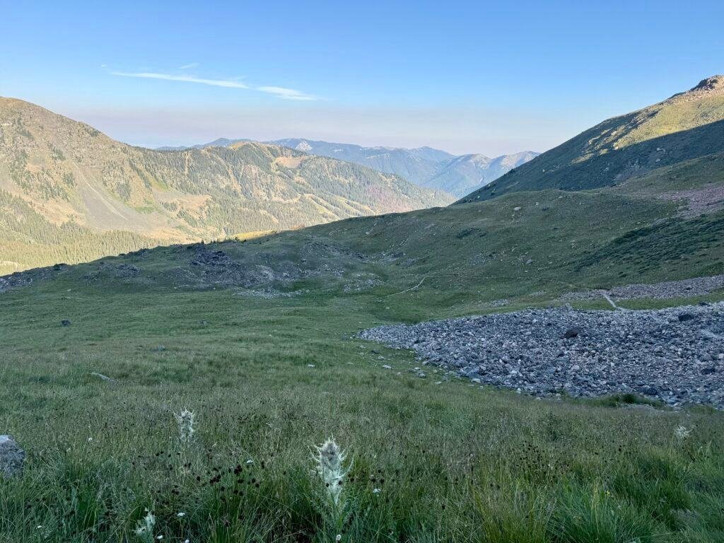
Photo: The stretch where the mental battle kicks in.
When the final ridge came into view at 9:02 a.m., all that was left was one small hill and then the summit plateau. Ten minutes later, at 9:13, I stepped onto the highest point in New Mexico.
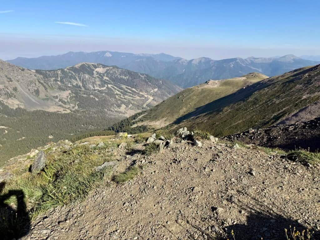

Photos: View from the final ridge | One last push to the summit!
The Summit, The People, The Reflection
When I reached the summit, the group of guys and the girl who had passed me earlier were already up there, taking in the views and snapping photos. I talked first with the guys; turns out they were from Midland, Texas. Super nice guys. We chatted about my adventures in Texas – Palo Duro Canyon and Guadalupe Peak.
Then I sat down to eat something, and the girl and I started chatting. She was from Phoenix, and Wheeler was only her second state high point (her first was Humphreys). She told me that if I could do this, Humphreys would be manageable – reassuring. At one point, I even shared this blog with her, and we talked about the quest to hit all 51 (including the District of Columbia).

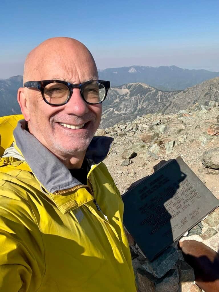
Photos: Me with the Wheeler Peak marker | Summit Selfie
For a little while, the five of us had the summit entirely to ourselves. It’s amazing how quickly hikers connect when they’re chasing the same goal from completely different parts of the country, no introductions needed, no awkwardness. Just an easy, genuine moment at 13,000 feet. Something about that shared moment opened up space for me to reflect.
I was still catching my breath when a renewed energy hit me. I had persevered, pushed past the pain, and made it to the summit. There is something rewarding in knowing that you can accomplish what you set out to. I also think that with all the chaos in the world, it is helpful to one’s mental state to get away from our phones and the news – a reminder we are just specks on this earth.

Photo: Summit views from the “backside” of Wheeler Peak.

Photo: Panoramic View from Wheeler Peak Summit
At the top is a small stone structure holding the summit plaque honoring Major George Montague Wheeler. Built into the foundation is a metal tube, shaped almost like a small cannon, which I later learned is the summit register. Just to the right is a separate pile of rocks holding the official USGS benchmark marking the true high point.


Photos: Stone Monument and Wheeler Peak Plaque | Official USGS Marker
It was a crystal-clear day, the kind where you could see for miles, and the Rockies seemed endless. A reminder of how beautiful this country is and how important it is to protect places like this for future generations.
The guys headed down first. The girl stayed a bit longer. And shortly after, I began my own descent.
The Descent: A Different Trail Entirely
Not long into the descent, I met a guy from Idaho who was working on his 38th or 39th high point. We chatted briefly about Borah Peak, Idaho’s high point, and he gave me a surprisingly timely boost of confidence that I could tackle it in the future. One of those small trail conversations that sticks with you.
After the Williams Lake junction, the trail filled with families and a surprising number of small dogs – all heading only to the lake, not the summit (thankfully).
As I got closer to the base, I accidentally made the same mistake as on the way up and followed the road again instead of the trail, the same mistake as the morning. It wasn’t until I heard hikers to my left that I realized there was an actual path. Down by the ski lift, I checked it out, and there’s a cute little bridge and informational signs I somehow totally missed that morning.
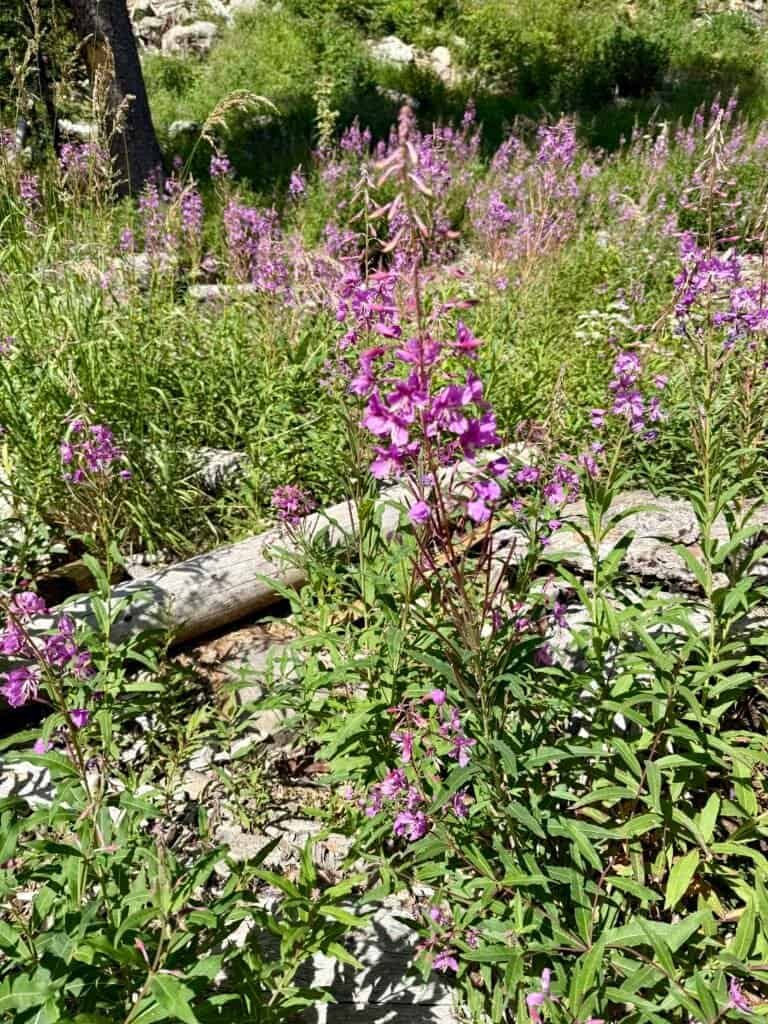
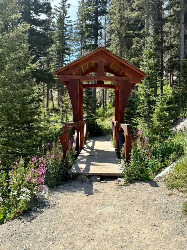
Photos: Wildflowers near the Trailhead | The Trailhead I missed twice!
The parking lot was overflowing by the time I arrived. I changed, refueled, and got ready for the drive to Springfield, Colorado – first down to Taos, then out on US-64 for a stunning stretch of highway up toward Trinidad.
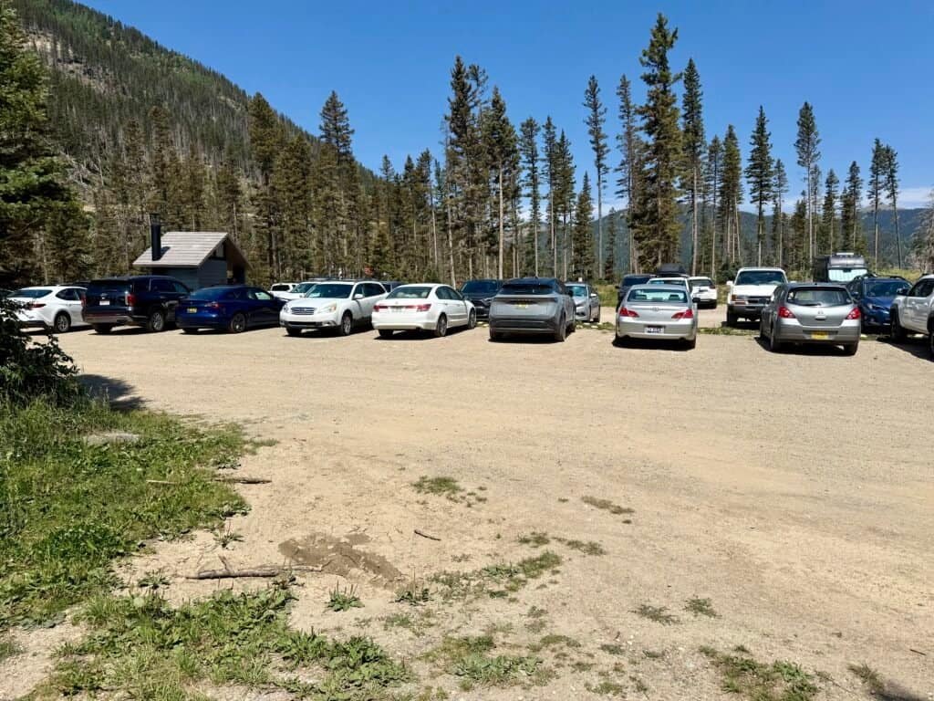

Photos: Full Parking Lot – Post Hike | Cool Cliff Formations along US-64
I stayed in Springfield, Colorado, just an hour from the Amache National Historic Site, one of ten incarceration centers for Japanese Americans during WWII. A place I hope to visit next time I’m in the area.
Gear Lessons and Garmin Betrayal
My Garmin didn’t track the full route; not the distance, not the elevation. Whether it was the altitude or just bad GPS reception, I’ll never know. Slightly annoying, but not enough to take away from the day.
The real lesson:
I need to lighten my load.
Not water, that stays. But the first-aid kit and a handful of “just in case” items can probably be scaled down, especially on busy trails like this. I’m learning with each summit.
And one lesson keeps proving itself over and over:
Get there early. Hike early.
The peace, the cool air, the empty trail – it’s always worth it.
I left the trailhead around noon, tired but proud. Wheeler Peak took more out of me than I expected, but it gave something back – a reminder that you can surprise yourself at 13,000 feet when you keep taking one small step at a time.
Next Up: Black Mesa | Oklahoma (#37)
Catch you on the summit!
Date of Summit: 9 August 2025
Discover more from love cook adventure
Subscribe to get the latest posts sent to your email.
Diana
Congrats on the summit! Wheeler is one of my favorites of the ones I’ve done so far.
Steve Anderson
Thank you!